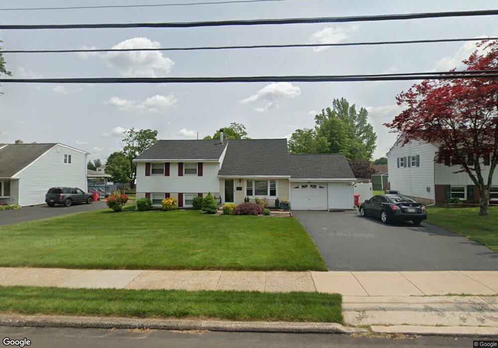
171 Delmont Ave Warminster, PA 18974
Estimated Value: $460,000 - $481,000
Studio
2
Baths
1,495
Sq Ft
$316/Sq Ft
Est. Value
About This Home
This home is located at 171 Delmont Ave, Warminster, PA 18974 and is currently estimated at $472,270, approximately $315 per square foot. 171 Delmont Ave is a home located in Bucks County with nearby schools including Willow Dale Elementary School, Log College Middle School, and William Tennent High School.
Ownership History
Date
Name
Owned For
Owner Type
Purchase Details
Closed on
May 24, 2004
Sold by
Coogan William J
Bought by
Crooks John A and Crooks Denise
Current Estimated Value
Home Financials for this Owner
Home Financials are based on the most recent Mortgage that was taken out on this home.
Original Mortgage
$226,000
Outstanding Balance
$109,601
Interest Rate
5.99%
Mortgage Type
Purchase Money Mortgage
Estimated Equity
$362,669
Purchase Details
Closed on
Jul 23, 1993
Bought by
Coogan William J
Create a Home Valuation Report for This Property
The Home Valuation Report is an in-depth analysis detailing your home's value as well as a comparison with similar homes in the area
Home Values in the Area
Average Home Value in this Area
Purchase History
| Date | Buyer | Sale Price | Title Company |
|---|---|---|---|
| Crooks John A | $282,500 | Lawyers Title Ins | |
| Coogan William J | -- | -- |
Source: Public Records
Mortgage History
| Date | Status | Borrower | Loan Amount |
|---|---|---|---|
| Open | Crooks John A | $226,000 |
Source: Public Records
Tax History
| Year | Tax Paid | Tax Assessment Tax Assessment Total Assessment is a certain percentage of the fair market value that is determined by local assessors to be the total taxable value of land and additions on the property. | Land | Improvement |
|---|---|---|---|---|
| 2025 | $5,452 | $25,830 | $5,000 | $20,830 |
| 2024 | $5,452 | $25,830 | $5,000 | $20,830 |
| 2023 | $5,284 | $25,830 | $5,000 | $20,830 |
| 2022 | $5,171 | $25,830 | $5,000 | $20,830 |
| 2021 | $5,051 | $25,830 | $5,000 | $20,830 |
| 2020 | $4,980 | $25,830 | $5,000 | $20,830 |
| 2019 | $4,715 | $25,830 | $5,000 | $20,830 |
| 2018 | $4,602 | $25,830 | $5,000 | $20,830 |
| 2017 | $4,467 | $25,830 | $5,000 | $20,830 |
| 2016 | $4,467 | $25,830 | $5,000 | $20,830 |
| 2015 | $4,381 | $25,830 | $5,000 | $20,830 |
| 2014 | $4,381 | $25,830 | $5,000 | $20,830 |
Source: Public Records
Map
Nearby Homes
- 1454 Kingsley Dr
- 60 Caledonia Dr
- 532 Sherwood Ln
- 537 Sherwood Ln
- 602 America Dr
- 604 Liberty Ridge Rd
- 1054 Riviera Rd
- 18 Patriot Ln
- 616 Liberty Ridge Rd
- 623 Liberty Ridge Rd
- 25 Patriot Ln
- 146 Fairway Dr Unit 134
- 36 Patriot Ln
- 711 W County Line Rd
- 733 W County Line Rd
- L:26 Street Rd
- 1575 W Street Rd Unit 327
- 279 Gibson Ave
- 422 Redbud Ct
- 604 America Dr
- 179 Delmont Ave
- 163 Delmont Ave
- 178 Wellington Dr
- 187 Delmont Ave
- 157 Delmont Ave
- 170 Wellington Dr
- 186 Wellington Dr
- 154 Wellington Dr
- 174 Delmont Ave
- 193 Delmont Ave
- 164 Delmont Ave
- 184 Delmont Ave
- 149 Delmont Ave
- 194 Wellington Dr
- 148 Wellington Dr
- 154 Delmont Ave
- 194 Delmont Ave
- 171 Wellington Dr
- 201 Delmont Ave
- 183 Wellington Dr