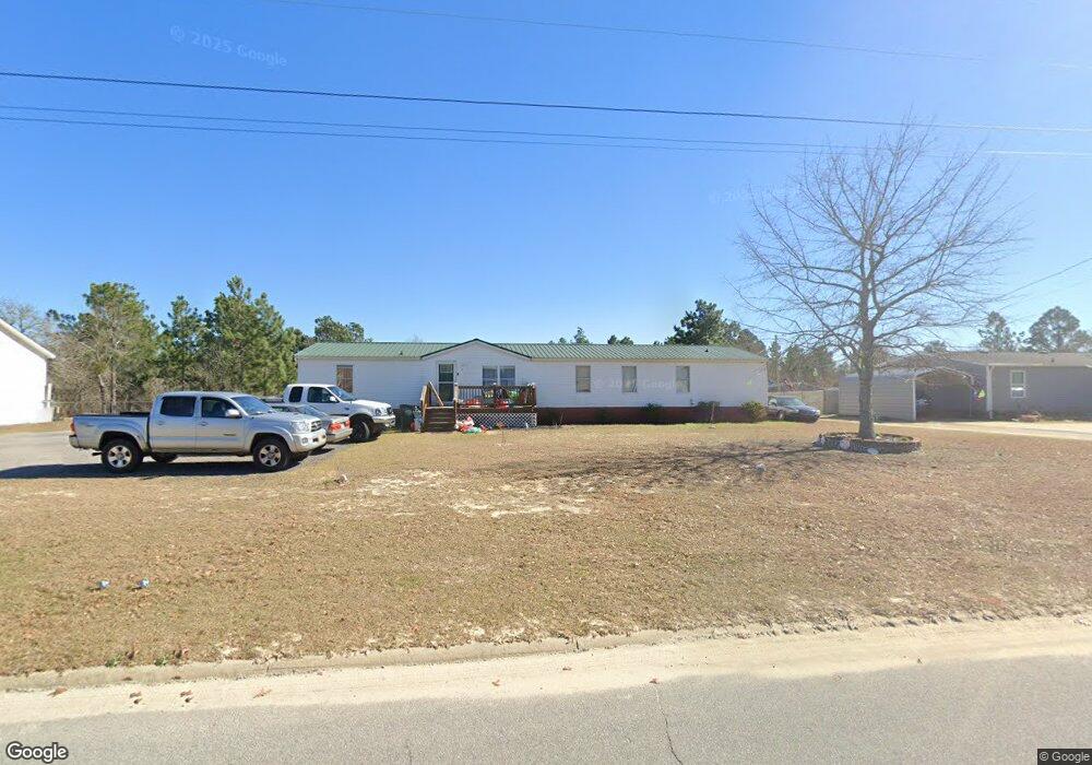
171 Doe Trail Dr Lexington, SC 29073
Estimated Value: $48,660 - $142,000
--
Bed
--
Bath
2,128
Sq Ft
$38/Sq Ft
Est. Value
About This Home
This home is located at 171 Doe Trail Dr, Lexington, SC 29073 and is currently estimated at $81,665, approximately $38 per square foot. 171 Doe Trail Dr is a home located in Lexington County with nearby schools including Forts Pond Elementary School, Pelion Middle School, and Pelion High School.
Ownership History
Date
Name
Owned For
Owner Type
Purchase Details
Closed on
Aug 8, 2025
Sold by
Collins Melissa Neill
Bought by
Collins Personal Residence Trust and Doelzel
Current Estimated Value
Purchase Details
Closed on
Apr 15, 2025
Sold by
Collins Melissa Neill
Bought by
Collins Personal Residence Trust
Purchase Details
Closed on
Jan 28, 2013
Sold by
Collins Edward D
Bought by
Collins Melissa N
Purchase Details
Closed on
Nov 14, 2005
Sold by
Hall James C
Bought by
Collins Edward D and Collins Melissa N
Purchase Details
Closed on
Nov 3, 2005
Sold by
Abn Amro Mortgage Group Inc
Bought by
Hall James C
Purchase Details
Closed on
Jul 12, 2005
Sold by
Prijoles Ernie
Bought by
Abn Amro Mortgage Group Inc
Purchase Details
Closed on
Aug 29, 2002
Sold by
Scruggs Ray
Bought by
Garner Heather H
Create a Home Valuation Report for This Property
The Home Valuation Report is an in-depth analysis detailing your home's value as well as a comparison with similar homes in the area
Home Values in the Area
Average Home Value in this Area
Purchase History
| Date | Buyer | Sale Price | Title Company |
|---|---|---|---|
| Collins Personal Residence Trust | -- | None Listed On Document | |
| Collins Personal Residence Trust | -- | None Listed On Document | |
| Collins Melissa N | -- | -- | |
| Collins Edward D | $57,500 | -- | |
| Hall James C | $35,000 | -- | |
| Abn Amro Mortgage Group Inc | $2,500 | -- | |
| Garner Heather H | $116,000 | -- |
Source: Public Records
Tax History Compared to Growth
Tax History
| Year | Tax Paid | Tax Assessment Tax Assessment Total Assessment is a certain percentage of the fair market value that is determined by local assessors to be the total taxable value of land and additions on the property. | Land | Improvement |
|---|---|---|---|---|
| 2024 | $322 | $648 | $480 | $168 |
| 2023 | $322 | $1,404 | $320 | $1,084 |
| 2022 | $63 | $1,404 | $320 | $1,084 |
| 2020 | $152 | $432 | $320 | $112 |
| 2019 | $192 | $712 | $600 | $112 |
| 2018 | $108 | $712 | $600 | $112 |
| 2017 | $105 | $712 | $600 | $112 |
| 2016 | $104 | $712 | $600 | $112 |
| 2014 | $95 | $680 | $600 | $80 |
| 2013 | -- | $680 | $600 | $80 |
Source: Public Records
Map
Nearby Homes
- 252 Doe Trail Dr
- 187 Federation St
- Broadmoor Plan at Edmund Hill Estates
- Sweetbay Plan at Edmund Hill Estates
- Bradford Plan at Edmund Hill Estates
- Westbury Plan at Edmund Hill Estates
- Crestwind Plan at Edmund Hill Estates
- Baxter Plan at Edmund Hill Estates
- Aspen Plan at Edmund Hill Estates
- Whitman Plan at Edmund Hill Estates
- Davidson Plan at Edmund Hill Estates
- Bedford Plan at Edmund Hill Estates
- 141 Dew Blossom Dr
- 112 Federation St
- 137 Dew Blossom Dr
- 133 Dew Blossom Dr
- 125 Dew Blossom Dr
- 121 Dew Blossom Dr
- 117 Dew Blossom Dr
- 113 Dew Blossom Dr
- 179 Doe Trail Dr
- 167 Doe Trail Dr
- 175 Doe Trail Dr
- 155 Doe Trail Dr
- 187 Doe Trail Dr
- 178 Doe Trail Dr
- 183 Doe Trail Dr
- 205 Doe Trail Dr
- 147 Doe Trail Dr
- 136 Deer Moss Trail
- 166 Doe Trail Dr
- 174 Doe Trail Dr
- 132 Deer Moss Trail
- 158 Doe Trail Dr
- 143 Doe Trail Dr
- 146 Doe Trail Dr
- 150 Doe Trail Dr
- 204 Doe Trail Dr
- 182 Doe Trail Dr
- 148 Deer Moss Trail