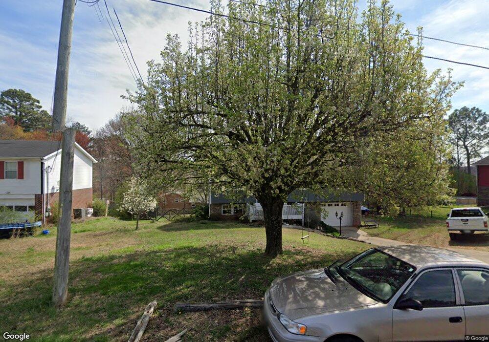
171 Dogwood Cir Rock Spring, GA 30739
Rock Spring NeighborhoodEstimated Value: $199,399 - $266,000
--
Bed
2
Baths
1,104
Sq Ft
$206/Sq Ft
Est. Value
About This Home
This home is located at 171 Dogwood Cir, Rock Spring, GA 30739 and is currently estimated at $227,600, approximately $206 per square foot. 171 Dogwood Cir is a home located in Walker County with nearby schools including Rock Spring Elementary School, Lafayette High School, and Alice M Daley Adventist School.
Ownership History
Date
Name
Owned For
Owner Type
Purchase Details
Closed on
Jun 30, 1995
Sold by
Blankenship Construction Coi
Bought by
Nunez Sherry Y
Current Estimated Value
Purchase Details
Closed on
Feb 11, 1995
Sold by
Cook Eva H and Cook
Bought by
Blankenship Construction Coi
Purchase Details
Closed on
Jul 6, 1994
Bought by
Cook Eva H and Cook
Create a Home Valuation Report for This Property
The Home Valuation Report is an in-depth analysis detailing your home's value as well as a comparison with similar homes in the area
Home Values in the Area
Average Home Value in this Area
Purchase History
| Date | Buyer | Sale Price | Title Company |
|---|---|---|---|
| Nunez Sherry Y | $60,800 | -- | |
| Blankenship Construction Coi | $5,300 | -- | |
| Cook Eva H | -- | -- |
Source: Public Records
Tax History Compared to Growth
Tax History
| Year | Tax Paid | Tax Assessment Tax Assessment Total Assessment is a certain percentage of the fair market value that is determined by local assessors to be the total taxable value of land and additions on the property. | Land | Improvement |
|---|---|---|---|---|
| 2024 | $1,653 | $81,648 | $4,923 | $76,725 |
| 2023 | $1,718 | $77,432 | $4,923 | $72,509 |
| 2022 | $1,601 | $66,177 | $4,923 | $61,254 |
| 2021 | $1,225 | $45,361 | $4,923 | $40,438 |
| 2020 | $960 | $33,759 | $4,923 | $28,836 |
| 2019 | $975 | $33,723 | $4,923 | $28,800 |
| 2018 | $892 | $33,723 | $4,923 | $28,800 |
| 2017 | $1,068 | $33,723 | $4,923 | $28,800 |
| 2016 | $906 | $33,723 | $4,923 | $28,800 |
| 2015 | $973 | $34,374 | $4,924 | $29,450 |
| 2014 | $882 | $34,374 | $4,924 | $29,450 |
| 2013 | -- | $34,374 | $4,924 | $29,450 |
Source: Public Records
Map
Nearby Homes
- 36 Pheonix Cir
- 285 Cooper Rd
- 195 Honeysuckle Dr
- 788 Long Hollow Rd
- 1121 Arnold Rd
- 294 E Long Hollow Rd
- 1476 Arnold Rd
- 183 Long Hollow Rd
- 1902 Long Hollow Rd
- 87 Peavine Rd
- 100 Deer Ridge Ln
- 453 Harvest Ln
- 103 Deer Ridge Ln
- 186 Henry Dr
- 200 Hunting Ridge Cir
- 5602 Georgia 95
- 00 Georgia 95
- 140 Fieldstone Commons
- 124 Fieldstone Commons
- 54 Cedar Farm Ln
- 177 Dogwood Cir
- 145 Dogwood Cir
- 1916 Peavine Rd
- 125 Dogwood Cir
- 1908 Peavine Rd
- 1938 Peavine Rd
- 1956 Peavine Rd
- 1884 Peavine Rd
- 1976 Peavine Rd
- 235 Dogwood Cir
- 116 Dogwood Cir
- 113 Dogwood Cir
- 1921 Peavine Rd
- 1959 Peavine Rd
- 1862 Peavine Rd
- 1994 Peavine Rd
- Lot 4 Peavine Rd
- 0 Peavine Rd Unit 1288059
- 0 Peavine Rd Unit RTC2723918
- 85 Peavine Rd