Estimated Value: $1,066,468
2
Beds
1
Bath
4,762
Sq Ft
$224/Sq Ft
Est. Value
About This Home
This home is located at 171 E Krepps Rd, Xenia, OH 45385 and is currently estimated at $1,066,468, approximately $223 per square foot. 171 E Krepps Rd is a home located in Greene County with nearby schools including Xenia High School.
Ownership History
Date
Name
Owned For
Owner Type
Purchase Details
Closed on
May 10, 2012
Sold by
Pugh William P and Pugh Paula T
Bought by
Edge Kenneth and Edge Derrie
Current Estimated Value
Home Financials for this Owner
Home Financials are based on the most recent Mortgage that was taken out on this home.
Original Mortgage
$341,600
Outstanding Balance
$220,583
Interest Rate
2.5%
Mortgage Type
Adjustable Rate Mortgage/ARM
Estimated Equity
$856,237
Purchase Details
Closed on
Jan 6, 2012
Sold by
Pugh Joann P and Pugh William
Bought by
Deborde William and Deborde Dixie
Purchase Details
Closed on
Feb 12, 2009
Sold by
Pugh William P and Pugh Paula T
Bought by
Pugh Joann P
Home Financials for this Owner
Home Financials are based on the most recent Mortgage that was taken out on this home.
Original Mortgage
$152,000
Interest Rate
5.06%
Mortgage Type
Unknown
Create a Home Valuation Report for This Property
The Home Valuation Report is an in-depth analysis detailing your home's value as well as a comparison with similar homes in the area
Home Values in the Area
Average Home Value in this Area
Purchase History
| Date | Buyer | Sale Price | Title Company |
|---|---|---|---|
| Edge Kenneth | $472,000 | None Available | |
| Deborde William | $110,000 | Attorney | |
| Pugh Joann P | $190,000 | Attorney |
Source: Public Records
Mortgage History
| Date | Status | Borrower | Loan Amount |
|---|---|---|---|
| Open | Edge Kenneth | $341,600 | |
| Previous Owner | Pugh Joann P | $152,000 |
Source: Public Records
Tax History Compared to Growth
Tax History
| Year | Tax Paid | Tax Assessment Tax Assessment Total Assessment is a certain percentage of the fair market value that is determined by local assessors to be the total taxable value of land and additions on the property. | Land | Improvement |
|---|---|---|---|---|
| 2024 | $10,788 | $250,970 | $59,970 | $191,000 |
| 2023 | $10,788 | $250,970 | $59,970 | $191,000 |
| 2022 | $9,087 | $188,360 | $49,670 | $138,690 |
| 2021 | $9,196 | $188,360 | $49,670 | $138,690 |
| 2020 | $8,424 | $188,360 | $49,670 | $138,690 |
| 2019 | $7,530 | $155,160 | $43,250 | $111,910 |
| 2018 | $7,426 | $155,160 | $43,250 | $111,910 |
| 2017 | $7,312 | $155,160 | $43,250 | $111,910 |
| 2016 | $7,312 | $146,440 | $38,850 | $107,590 |
| 2015 | $7,331 | $146,440 | $38,850 | $107,590 |
| 2014 | $7,208 | $146,440 | $38,850 | $107,590 |
Source: Public Records
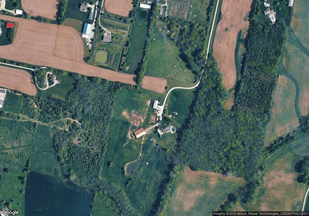
Map
Nearby Homes
- 1736 Winchester Rd
- 920 Wright Cycle Blvd
- 926 Wright Cycle Blvd
- 2102 High Wheel Dr
- 966 U S 68
- 733 State Route 380
- 0 U S 68
- 104 Ledbetter Rd
- 1348 Berkshire Dr
- 2821 Raxit Ct
- 523 Newport Rd
- 2784 Greystoke Dr
- 260 Pocahontas St
- 0 Berkshire Dr Unit 949217
- 55 Lake St
- 2421 Louisiana Dr
- Chatham Plan at Edenbridge
- Bellamy Plan at Edenbridge
- Holcombe Plan at Edenbridge
- Henley Plan at Edenbridge
- 89 E Krepps Rd
- 1880 State Route 380
- 1542 Woodside Way
- 140 E Krepps Rd
- 1549 Woodside Way
- 122 E Krepps Rd
- 106 E Krepps Rd
- 1785 Woodside Way
- 55 E Krepps Rd
- 55 E Krepps Rd
- 88 E Krepps Rd
- 1571 Woodside Way
- 1566 Woodside Way
- 1766 State Route 380
- 45 E Krepps Rd
- 70 E Krepps Rd
- 300 E Krepps Rd
- 1774 State Route 380
- 50 E Krepps Rd
- 1760 State Route 380