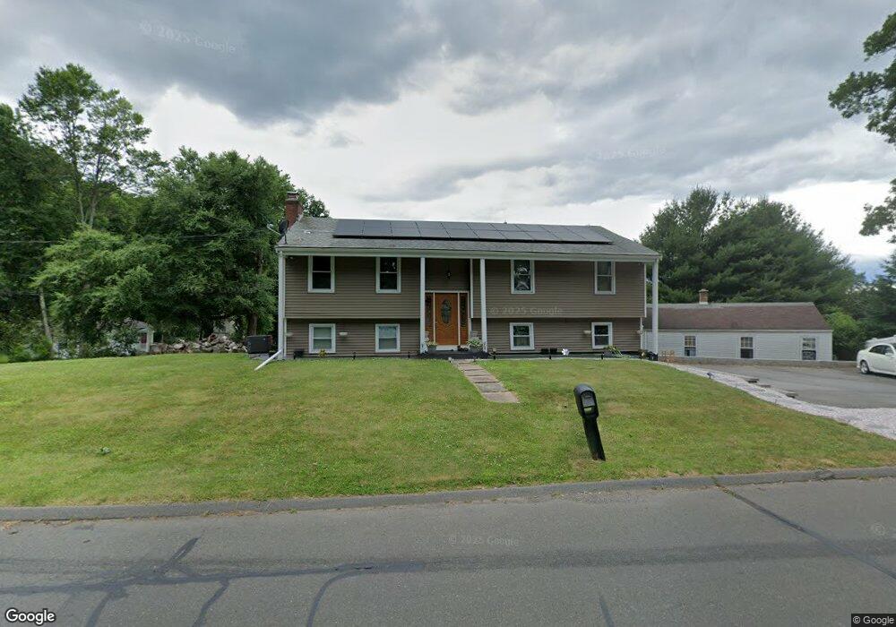
171 Goff Rd Wethersfield, CT 06109
Estimated Value: $375,000 - $449,000
4
Beds
7
Baths
1,190
Sq Ft
$342/Sq Ft
Est. Value
About This Home
This home is located at 171 Goff Rd, Wethersfield, CT 06109 and is currently estimated at $406,924, approximately $341 per square foot. 171 Goff Rd is a home located in Hartford County with nearby schools including Samuel B. Webb Elementary School, Silas Deane Middle School, and Wethersfield High School.
Ownership History
Date
Name
Owned For
Owner Type
Purchase Details
Closed on
Dec 17, 2025
Sold by
Gafoor Ramzaan and Gafoor Rehanna V
Bought by
Gafoor Ramzaan and Gafoor Rehanna V
Current Estimated Value
Home Financials for this Owner
Home Financials are based on the most recent Mortgage that was taken out on this home.
Original Mortgage
$344,627
Outstanding Balance
$343,835
Interest Rate
5.25%
Mortgage Type
Future Advance Clause Open End Mortgage
Estimated Equity
$63,089
Purchase Details
Closed on
Jul 14, 2010
Sold by
Martinez Paul
Bought by
Gafoor Ramzaan
Home Financials for this Owner
Home Financials are based on the most recent Mortgage that was taken out on this home.
Original Mortgage
$181,649
Interest Rate
5.5%
Mortgage Type
FHA
Purchase Details
Closed on
Feb 20, 2002
Sold by
Lengyel Istvan and Lengyel Ewa
Bought by
Martinez Paul
Create a Home Valuation Report for This Property
The Home Valuation Report is an in-depth analysis detailing your home's value as well as a comparison with similar homes in the area
Home Values in the Area
Average Home Value in this Area
Purchase History
| Date | Buyer | Sale Price | Title Company |
|---|---|---|---|
| Gafoor Ramzaan | -- | -- | |
| Gafoor Ramzaan | $185,000 | -- | |
| Martinez Paul | $177,000 | -- |
Source: Public Records
Mortgage History
| Date | Status | Borrower | Loan Amount |
|---|---|---|---|
| Open | Gafoor Ramzaan | $344,627 | |
| Previous Owner | Martinez Paul | $198,921 | |
| Previous Owner | Martinez Paul | $181,649 | |
| Previous Owner | Martinez Paul | $208,000 |
Source: Public Records
Tax History
| Year | Tax Paid | Tax Assessment Tax Assessment Total Assessment is a certain percentage of the fair market value that is determined by local assessors to be the total taxable value of land and additions on the property. | Land | Improvement |
|---|---|---|---|---|
| 2025 | $10,876 | $263,850 | $95,060 | $168,790 |
| 2024 | $6,682 | $154,610 | $65,100 | $89,510 |
| 2023 | $6,460 | $154,610 | $65,100 | $89,510 |
| 2022 | $6,351 | $154,610 | $65,100 | $89,510 |
| 2021 | $6,288 | $154,610 | $65,100 | $89,510 |
| 2020 | $6,291 | $154,610 | $65,100 | $89,510 |
| 2019 | $6,299 | $154,610 | $65,100 | $89,510 |
| 2018 | $6,162 | $151,100 | $59,500 | $91,600 |
| 2017 | $6,009 | $151,100 | $59,500 | $91,600 |
| 2016 | $5,600 | $145,300 | $59,500 | $85,800 |
| 2015 | $5,526 | $144,700 | $59,500 | $85,200 |
| 2014 | $5,316 | $144,700 | $59,500 | $85,200 |
Source: Public Records
Map
Nearby Homes
- 129 Goff Rd
- 273 Forest Dr
- 20 Forest Dr
- 15 Potter Crossing
- 173 Timber Trail
- 25 Tinsmith Crossing
- 62 Schoolhouse Crossing
- 7 Barrington Dr Unit C
- 764 Ridge Rd
- 144 Brown St
- 295 Ridge Rd Unit 8
- 274 Cedarwood Ln
- 55 Rutledge Rd
- 88 Hawley St
- 84 Connecticut Ave
- 519 Prospect St
- 79 Piper Brook Ave
- 1 Bristol St
- 32 Garvan St
- 46 Piper Brook Ave
Your Personal Tour Guide
Ask me questions while you tour the home.