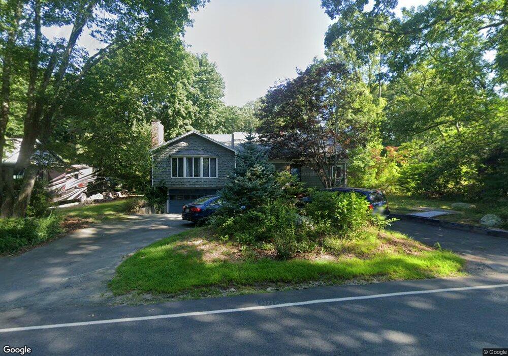
171 Hathaway Rd Acushnet, MA 02743
Estimated Value: $449,000 - $565,000
3
Beds
1
Bath
1,340
Sq Ft
$379/Sq Ft
Est. Value
About This Home
This home is located at 171 Hathaway Rd, Acushnet, MA 02743 and is currently estimated at $507,328, approximately $378 per square foot. 171 Hathaway Rd is a home located in Bristol County with nearby schools including Acushnet Elementary School, Albert F Ford Middle School, and Alma Del Mar Charter School.
Ownership History
Date
Name
Owned For
Owner Type
Purchase Details
Closed on
Sep 25, 2017
Sold by
Roger R Blaise Irt
Bought by
Blaise-Demers Deborah
Current Estimated Value
Home Financials for this Owner
Home Financials are based on the most recent Mortgage that was taken out on this home.
Original Mortgage
$184,000
Outstanding Balance
$154,020
Interest Rate
3.9%
Mortgage Type
New Conventional
Estimated Equity
$353,308
Purchase Details
Closed on
Mar 31, 2015
Sold by
Int Roger R Blaise
Bought by
Roger R Blaise Irt
Create a Home Valuation Report for This Property
The Home Valuation Report is an in-depth analysis detailing your home's value as well as a comparison with similar homes in the area
Purchase History
| Date | Buyer | Sale Price | Title Company |
|---|---|---|---|
| Blaise-Demers Deborah | $153,333 | -- | |
| Roger R Blaise Irt | -- | -- | |
| Roger R Blaise Irt | -- | -- |
Source: Public Records
Mortgage History
| Date | Status | Borrower | Loan Amount |
|---|---|---|---|
| Open | Blaise-Demers Deborah | $184,000 |
Source: Public Records
Tax History
| Year | Tax Paid | Tax Assessment Tax Assessment Total Assessment is a certain percentage of the fair market value that is determined by local assessors to be the total taxable value of land and additions on the property. | Land | Improvement |
|---|---|---|---|---|
| 2025 | $42 | $388,300 | $164,700 | $223,600 |
| 2024 | $4,087 | $358,200 | $156,000 | $202,200 |
| 2023 | $3,943 | $328,600 | $141,600 | $187,000 |
| 2022 | $3,928 | $296,000 | $132,900 | $163,100 |
| 2021 | $3,830 | $276,900 | $132,900 | $144,000 |
| 2020 | $3,739 | $268,200 | $124,200 | $144,000 |
| 2019 | $3,583 | $252,700 | $118,500 | $134,200 |
| 2018 | $3,482 | $241,500 | $118,500 | $123,000 |
| 2017 | $3,382 | $234,200 | $118,500 | $115,700 |
| 2016 | $3,301 | $227,200 | $118,500 | $108,700 |
| 2015 | $2,893 | $202,600 | $100,900 | $101,700 |
Source: Public Records
Map
Nearby Homes
- 161 Hathaway Rd
- 179 Hathaway Rd
- 159 Hathaway Rd
- 183 Hathaway Rd
- 2 Donna Ln
- 166 Hathaway Rd
- 166 Hathaway Rd Unit 1
- 182 Hathaway Rd
- 155 Hathaway Rd
- 153 Hathaway Rd
- 154 Hathaway Rd
- 185 Hathaway Rd
- 4 Donna Ln
- 1 Donna Ln
- 4 Brookside Dr
- 186 Hathaway Rd
- 187 Hathaway Rd
- 2 Blaise Dr
- 3 Donna Ln
- 3 Brookside Dr
Your Personal Tour Guide
Ask me questions while you tour the home.