171 High Chaparral Dr Unit Ardmore OK 73401 Ardmore, OK 73401
Estimated Value: $230,262 - $269,000
2
Beds
2
Baths
1,436
Sq Ft
$174/Sq Ft
Est. Value
About This Home
This home is located at 171 High Chaparral Dr Unit Ardmore OK 73401, Ardmore, OK 73401 and is currently estimated at $250,316, approximately $174 per square foot. 171 High Chaparral Dr Unit Ardmore OK 73401 is a home located in Carter County with nearby schools including Lone Grove Primary School, Lone Grove Intermediate School, and Lone Grove Middle School.
Ownership History
Date
Name
Owned For
Owner Type
Purchase Details
Closed on
Sep 3, 2020
Sold by
Rector Flint and Rector Flint R
Bought by
Rector Flint and Rector Mayra
Current Estimated Value
Home Financials for this Owner
Home Financials are based on the most recent Mortgage that was taken out on this home.
Original Mortgage
$152,659
Outstanding Balance
$134,021
Interest Rate
2.7%
Mortgage Type
VA
Estimated Equity
$116,295
Purchase Details
Closed on
May 31, 2018
Sold by
Lorentz Robert L
Bought by
Rector Flint
Home Financials for this Owner
Home Financials are based on the most recent Mortgage that was taken out on this home.
Original Mortgage
$152,203
Interest Rate
4.4%
Mortgage Type
VA
Purchase Details
Closed on
Dec 19, 2013
Sold by
Reigh Glenda R
Bought by
Lorentz Robert L
Purchase Details
Closed on
May 13, 1994
Sold by
Reigh Earl
Bought by
Reigh Glenda R
Create a Home Valuation Report for This Property
The Home Valuation Report is an in-depth analysis detailing your home's value as well as a comparison with similar homes in the area
Home Values in the Area
Average Home Value in this Area
Purchase History
| Date | Buyer | Sale Price | Title Company |
|---|---|---|---|
| Rector Flint | -- | Oklahoma Secured Title | |
| Rector Flint | $149,000 | None Available | |
| Lorentz Robert L | $142,500 | -- | |
| Reigh Glenda R | -- | -- |
Source: Public Records
Mortgage History
| Date | Status | Borrower | Loan Amount |
|---|---|---|---|
| Open | Rector Flint | $152,659 | |
| Closed | Rector Flint | $152,203 |
Source: Public Records
Tax History Compared to Growth
Tax History
| Year | Tax Paid | Tax Assessment Tax Assessment Total Assessment is a certain percentage of the fair market value that is determined by local assessors to be the total taxable value of land and additions on the property. | Land | Improvement |
|---|---|---|---|---|
| 2025 | $2,201 | $21,054 | $2,520 | $18,534 |
| 2024 | $2,201 | $20,052 | $2,400 | $17,652 |
| 2023 | $2,098 | $19,097 | $2,400 | $16,697 |
| 2022 | $1,882 | $18,187 | $2,400 | $15,787 |
| 2021 | $1,803 | $17,321 | $3,000 | $14,321 |
| 2020 | $1,793 | $17,321 | $3,000 | $14,321 |
| 2019 | $1,848 | $17,880 | $2,682 | $15,198 |
| 2018 | $881 | $9,441 | $1,678 | $7,763 |
| 2017 | $849 | $9,167 | $1,578 | $7,589 |
| 2016 | $819 | $8,900 | $1,710 | $7,190 |
| 2015 | $1,864 | $17,199 | $1,710 | $15,489 |
| 2014 | $1,891 | $17,100 | $960 | $16,140 |
Source: Public Records
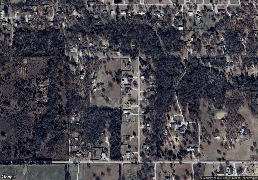
Map
Nearby Homes
- 0 High Chaparal Dr Unit 2525272
- 0 Durango St
- 7241 Myall Rd
- 40 Whipperwill St
- 270 Hickory St
- 0 Kelly Ln
- 7023 Myall Rd SW
- 940 Durango St
- 00 Bob White Rd
- 298 Evergreen St
- 319 Cross Creek Cir
- 656 Evergreen St
- 145 Cross Creek Cir
- 0 Evergreen St
- 58 Wisteria St
- 86 Wisteria St
- 4012 Meridian Rd
- 5705 S Brock Rd
- 114 Laurel St
- 0 Foxden Rd Unit 2511367
- 171 High Chaparral Dr
- 171 High Chaparal Dr
- 199 High Chaparral Dr
- 139 High Chaparal Dr
- 166 High Chaparal Dr Unit 23666
- 144 High Chaparal Dr
- 111 High Chaparal Dr
- 111 High Chaparral Dr
- 110 High Chaparal Dr
- 429 Durango St
- 0 High Chaparal Dr Unit 2408983
- 0 High Chaparal Dr Unit 2113484
- 0 High Chaparal Dr Unit 2215827
- 386 Durango St
- 84 High Chaparal Dr
- 338 Durango St
- 55 High Chaparal Dr
- 55 High Chaparal Dr
- 7498 Myall Rd
- 7498 Myall Rd