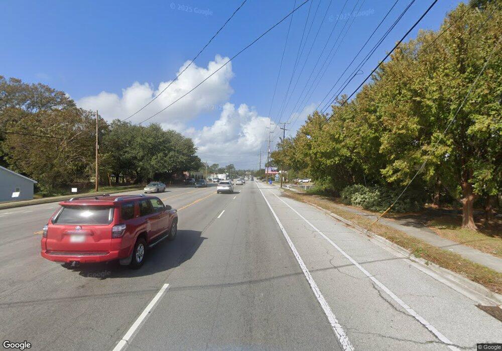
171 Highway Charleston, SC 29407
West Ashley NeighborhoodEstimated Value: $869,000
4
Beds
3
Baths
2,500
Sq Ft
$348/Sq Ft
Est. Value
About This Home
This home is located at 171 Highway, Charleston, SC 29407 and is currently estimated at $869,000, approximately $347 per square foot. 171 Highway is a home with nearby schools including St. Andrews School Of Math And Science, West Ashley High School, and Orange Grove Elementary Charter School.
Ownership History
Date
Name
Owned For
Owner Type
Purchase Details
Closed on
Feb 3, 2023
Sold by
Wilson Joan C
Bought by
Joan Campbell Wilson Living Trust
Current Estimated Value
Purchase Details
Closed on
Sep 12, 2011
Sold by
Carter Heyward
Bought by
Ashem Llc and The Lowcountry Open Land Trust Inc
Purchase Details
Closed on
Jul 2, 2003
Sold by
Farrow Emily R and Farrow Emily S Ravenel
Bought by
Farrow Emily Ravenel and Heyward Carter T
Create a Home Valuation Report for This Property
The Home Valuation Report is an in-depth analysis detailing your home's value as well as a comparison with similar homes in the area
Home Values in the Area
Average Home Value in this Area
Purchase History
| Date | Buyer | Sale Price | Title Company |
|---|---|---|---|
| Joan Campbell Wilson Living Trust | -- | None Listed On Document | |
| Joan Campbell Wilson Living Trust | -- | None Listed On Document | |
| Ashem Llc | -- | -- | |
| Farrow Emily Ravenel | -- | -- |
Source: Public Records
Tax History Compared to Growth
Tax History
| Year | Tax Paid | Tax Assessment Tax Assessment Total Assessment is a certain percentage of the fair market value that is determined by local assessors to be the total taxable value of land and additions on the property. | Land | Improvement |
|---|---|---|---|---|
| 2024 | $150 | $0 | $0 | $0 |
| 2023 | $150 | $0 | $0 | $0 |
| 2022 | $1,376 | $0 | $0 | $0 |
| 2021 | $1,475 | $0 | $0 | $0 |
| 2020 | $1,475 | $0 | $0 | $0 |
| 2019 | $99 | $0 | $0 | $0 |
| 2017 | $99 | $0 | $0 | $0 |
| 2016 | $210 | $0 | $0 | $0 |
| 2015 | $210 | $0 | $0 | $0 |
| 2014 | $210 | $0 | $0 | $0 |
| 2011 | -- | $0 | $0 | $0 |
Source: Public Records
Map
Nearby Homes
- 25 Fort Royal Ave
- 37 Fort Royal Ave
- 1216 Old Towne Rd
- 1260 Marvin Ave
- 1130 San Juan Ave
- 13 Ashland Dr
- 1278 S Lenevar Dr
- 1093 Avenue of Oaks
- 1223 Charlestowne Dr
- 1593 Teague St
- 1288 Marvin Ave
- 1319 Joshua Dr
- 1229 Winston St
- 1124 5th Ave
- 1285 Camerton St
- 1124 Davidson Ave
- 950 Battery Ave
- 1336 Coleridge St
- 929 Battery Ave
- 1308 Coleridge St
- 6 Saint Augustine Dr
- 10 Saint Augustine Dr
- 14 Saint Augustine Dr
- 2 Saint Augustine Dr
- 33 Town Creek Dr
- 29 Town Creek Dr
- 18 Saint Augustine Dr
- 37 Town Creek Dr
- 22 Saint Augustine Dr
- 26 Saint Augustine Dr
- 7 Saint Augustine Dr
- 30 Saint Augustine Dr
- 34 Saint Augustine Dr
- 15 Saint Augustine Dr
- 3 Saint Augustine Dr
- 38 Saint Augustine Dr
- 23 Town Creek Dr
- 26 Town Creek Dr
- 30 Town Creek Dr
- 40 Town Creek Dr
