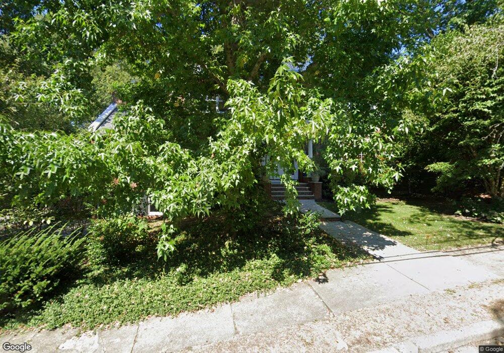
171 Hobart Rd Newton Center, MA 02459
Newton Centre NeighborhoodEstimated Value: $2,552,000 - $3,161,000
6
Beds
5
Baths
3,722
Sq Ft
$769/Sq Ft
Est. Value
About This Home
This home is located at 171 Hobart Rd, Newton Center, MA 02459 and is currently estimated at $2,863,144, approximately $769 per square foot. 171 Hobart Rd is a home located in Middlesex County with nearby schools including Ward Elementary School, Bigelow Middle School, and Newton North High School.
Ownership History
Date
Name
Owned For
Owner Type
Purchase Details
Closed on
Jul 1, 2009
Sold by
Weiskopf-Bock Sally
Bought by
Baker Malcolm P and Baker Christina Wood
Current Estimated Value
Home Financials for this Owner
Home Financials are based on the most recent Mortgage that was taken out on this home.
Original Mortgage
$417,000
Outstanding Balance
$265,869
Interest Rate
4.86%
Mortgage Type
Purchase Money Mortgage
Estimated Equity
$2,597,275
Purchase Details
Closed on
May 12, 2000
Sold by
Krasnow Todd J and Krasnow Deborah A
Bought by
Bock Sally W
Home Financials for this Owner
Home Financials are based on the most recent Mortgage that was taken out on this home.
Original Mortgage
$1,000,000
Interest Rate
8.21%
Purchase Details
Closed on
Jan 10, 1992
Sold by
Rt Hobart
Bought by
Krasnow Todd J and Krasnow Deborah A
Create a Home Valuation Report for This Property
The Home Valuation Report is an in-depth analysis detailing your home's value as well as a comparison with similar homes in the area
Home Values in the Area
Average Home Value in this Area
Purchase History
| Date | Buyer | Sale Price | Title Company |
|---|---|---|---|
| Baker Malcolm P | $1,562,500 | -- | |
| Bock Sally W | $1,415,000 | -- | |
| Krasnow Todd J | $255,000 | -- |
Source: Public Records
Mortgage History
| Date | Status | Borrower | Loan Amount |
|---|---|---|---|
| Open | Baker Malcolm P | $417,000 | |
| Previous Owner | Krasnow Todd J | $1,000,000 | |
| Previous Owner | Krasnow Todd J | $1,000,000 | |
| Previous Owner | Krasnow Todd J | $622,500 |
Source: Public Records
Tax History Compared to Growth
Tax History
| Year | Tax Paid | Tax Assessment Tax Assessment Total Assessment is a certain percentage of the fair market value that is determined by local assessors to be the total taxable value of land and additions on the property. | Land | Improvement |
|---|---|---|---|---|
| 2025 | $26,061 | $2,659,300 | $1,849,100 | $810,200 |
| 2024 | $25,198 | $2,581,800 | $1,795,200 | $786,600 |
| 2023 | $24,321 | $2,389,100 | $1,399,700 | $989,400 |
| 2022 | $23,271 | $2,212,100 | $1,296,000 | $916,100 |
| 2021 | $0 | $2,086,900 | $1,222,600 | $864,300 |
| 2020 | $21,787 | $2,086,900 | $1,222,600 | $864,300 |
| 2019 | $21,173 | $2,026,100 | $1,187,000 | $839,100 |
| 2018 | $0 | $1,940,200 | $1,074,200 | $866,000 |
| 2017 | $20,354 | $1,830,400 | $1,013,400 | $817,000 |
| 2016 | $19,168 | $1,684,400 | $947,100 | $737,300 |
| 2015 | $18,245 | $1,571,500 | $885,100 | $686,400 |
Source: Public Records
Map
Nearby Homes
- 9 The Ledges Rd
- 92 Grant Ave
- 5 Hammond St
- 5 Merrill Rd
- 21 Francis St Unit 21A
- 44 Irving St
- 23 Francis St Unit 23-1
- 209 Commonwealth Ave Unit 3E
- 145 Warren St Unit 4
- 173-175 Warren St
- 31 W Boulevard Rd
- 154 Langley Rd Unit 1
- 104 Woodchester Dr
- 20 Bartlett Terrace
- 1004 Centre St
- 9 Ripley St Unit 1
- 266 Langley Rd Unit 1
- 67 Algonquin Rd
- 20 Hamlet St
- 20 Hamlet St Unit 1
- 155 Hobart Rd
- 91 Intervale Rd
- 24 Hobart Terrace
- 168 Hobart Rd
- 81 Intervale Rd
- 185 Hobart Rd
- 143 Hobart Rd
- 158 Hobart Rd
- 75 Intervale Rd
- 49 Edge Hill Rd
- 193 Hobart Rd
- 194 Hobart Rd
- 46 Bishopsgate Rd
- 15 Hobart Terrace
- 86 Bishopsgate Rd
- 142 Hobart Rd
- 121 Intervale Rd
- 54 Bishopsgate Rd
- 111 Hobart Rd
- 45 Bishopsgate Rd