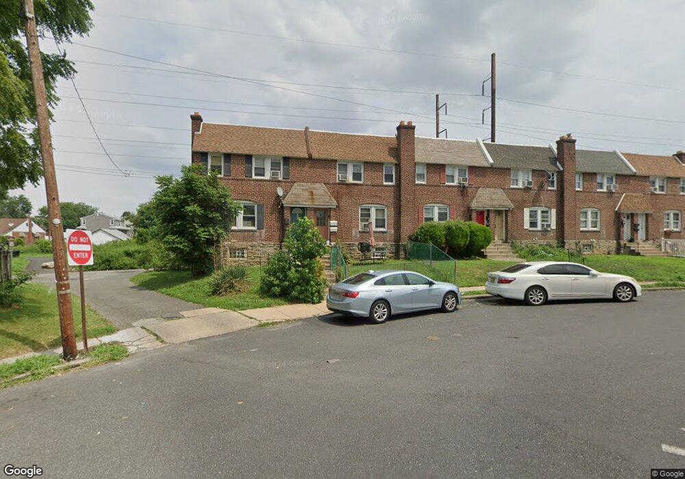
171 Houston Rd Lansdowne, PA 19050
Estimated Value: $204,733 - $303,000
--
Bed
2
Baths
1,440
Sq Ft
$169/Sq Ft
Est. Value
About This Home
This home is located at 171 Houston Rd, Lansdowne, PA 19050 and is currently estimated at $243,183, approximately $168 per square foot. 171 Houston Rd is a home located in Delaware County with nearby schools including Charles Kelly El School, Upper Darby High School, and Vision Academy Charter School.
Ownership History
Date
Name
Owned For
Owner Type
Purchase Details
Closed on
Oct 7, 2011
Sold by
Mcelroy Brian K
Bought by
Graves Nikki L
Current Estimated Value
Home Financials for this Owner
Home Financials are based on the most recent Mortgage that was taken out on this home.
Original Mortgage
$112,084
Outstanding Balance
$76,996
Interest Rate
4.25%
Mortgage Type
FHA
Estimated Equity
$166,187
Create a Home Valuation Report for This Property
The Home Valuation Report is an in-depth analysis detailing your home's value as well as a comparison with similar homes in the area
Home Values in the Area
Average Home Value in this Area
Purchase History
| Date | Buyer | Sale Price | Title Company |
|---|---|---|---|
| Graves Nikki L | $115,000 | None Available |
Source: Public Records
Mortgage History
| Date | Status | Borrower | Loan Amount |
|---|---|---|---|
| Open | Graves Nikki L | $112,084 |
Source: Public Records
Tax History Compared to Growth
Tax History
| Year | Tax Paid | Tax Assessment Tax Assessment Total Assessment is a certain percentage of the fair market value that is determined by local assessors to be the total taxable value of land and additions on the property. | Land | Improvement |
|---|---|---|---|---|
| 2025 | $4,285 | $101,330 | $14,450 | $86,880 |
| 2024 | $4,285 | $101,330 | $14,450 | $86,880 |
| 2023 | $4,245 | $101,330 | $14,450 | $86,880 |
| 2022 | $4,131 | $101,330 | $14,450 | $86,880 |
| 2021 | $5,570 | $101,330 | $14,450 | $86,880 |
| 2020 | $3,925 | $60,680 | $18,070 | $42,610 |
| 2019 | $3,856 | $60,680 | $18,070 | $42,610 |
| 2018 | $3,812 | $60,680 | $0 | $0 |
| 2017 | $3,713 | $60,680 | $0 | $0 |
| 2016 | $333 | $60,680 | $0 | $0 |
| 2015 | $333 | $60,680 | $0 | $0 |
| 2014 | $333 | $60,680 | $0 | $0 |
Source: Public Records
Map
Nearby Homes
- 226 E Greenwood Ave
- 319 E Essex Ave
- 317 E Essex Ave
- 315 E Essex Ave
- 230 Wynnewood Ave
- 209 E Greenwood Ave
- 178 N Union Ave
- 164 Woodland Ave
- 239 N Maple Ave
- 608 Pembroke Ave
- 7229 Clinton Rd
- 75 E Stewart Ave
- 7216 Clinton Rd
- 243 Coverly Rd
- 669 Long Ln
- 726 Copley Rd
- 7247 Guilford Rd
- 404 Croyden Rd
- 291 N Wycombe Ave
- 88 E Essex Ave
- 169 Houston Rd
- 167 Houston Rd
- 165 Houston Rd
- 347 E Essex Ave
- 163 Houston Rd
- 345 E Essex Ave
- 338 E Essex Ave
- 161 Houston Rd
- 343 E Essex Ave
- 336 E Essex Ave
- 159 Houston Rd
- 341 E Essex Ave
- 174 Hirst Ave
- 339 E Essex Ave
- 339 E Essex Ave Unit Second Floor Apartme
- 339 E Essex Ave Unit 1st Floor Apartment
- 157 Houston Rd
- 245 E Greenwood Ave
- 243 E Greenwood Ave
- 155 Houston Rd