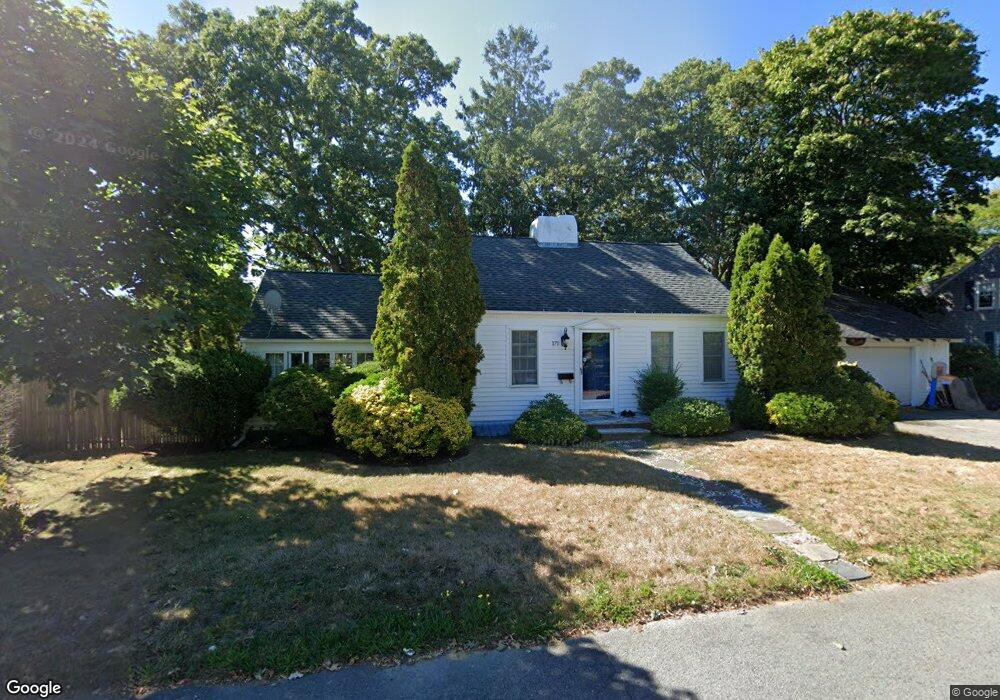
171 Locust St Hyannis, MA 02601
Estimated Value: $497,271 - $654,000
3
Beds
1
Bath
1,389
Sq Ft
$409/Sq Ft
Est. Value
About This Home
This home is located at 171 Locust St, Hyannis, MA 02601 and is currently estimated at $567,568, approximately $408 per square foot. 171 Locust St is a home located in Barnstable County with nearby schools including Hyannis West Elementary School, Barnstable United Elementary School, and Barnstable Intermediate School.
Ownership History
Date
Name
Owned For
Owner Type
Purchase Details
Closed on
Sep 12, 2003
Sold by
Roberts Ornel O and Roberts Cliona
Bought by
Santa Ana Airton F
Current Estimated Value
Home Financials for this Owner
Home Financials are based on the most recent Mortgage that was taken out on this home.
Original Mortgage
$196,000
Outstanding Balance
$90,799
Interest Rate
6.22%
Mortgage Type
Purchase Money Mortgage
Estimated Equity
$476,769
Purchase Details
Closed on
Feb 14, 2000
Sold by
Gallagher John A and Gallagher Miriam J
Bought by
Roberts Ornel O
Purchase Details
Closed on
Dec 17, 1999
Sold by
Lucier Elizabeth A
Bought by
Gallagher John A
Create a Home Valuation Report for This Property
The Home Valuation Report is an in-depth analysis detailing your home's value as well as a comparison with similar homes in the area
Home Values in the Area
Average Home Value in this Area
Purchase History
| Date | Buyer | Sale Price | Title Company |
|---|---|---|---|
| Santa Ana Airton F | $245,000 | -- | |
| Roberts Ornel O | $130,000 | -- | |
| Gallagher John A | $105,000 | -- |
Source: Public Records
Mortgage History
| Date | Status | Borrower | Loan Amount |
|---|---|---|---|
| Open | Gallagher John A | $196,000 | |
| Previous Owner | Gallagher John A | $138,000 | |
| Previous Owner | Gallagher John A | $107,087 |
Source: Public Records
Tax History Compared to Growth
Tax History
| Year | Tax Paid | Tax Assessment Tax Assessment Total Assessment is a certain percentage of the fair market value that is determined by local assessors to be the total taxable value of land and additions on the property. | Land | Improvement |
|---|---|---|---|---|
| 2025 | $3,785 | $408,300 | $124,500 | $283,800 |
| 2024 | $3,539 | $391,100 | $124,500 | $266,600 |
| 2023 | $3,428 | $358,200 | $119,500 | $238,700 |
| 2022 | $3,378 | $292,000 | $88,500 | $203,500 |
| 2021 | $3,099 | $260,200 | $83,800 | $176,400 |
| 2020 | $2,939 | $238,400 | $83,800 | $154,600 |
| 2019 | $2,746 | $218,300 | $79,200 | $139,100 |
| 2018 | $2,526 | $205,400 | $83,400 | $122,000 |
| 2017 | $2,163 | $180,400 | $63,700 | $116,700 |
| 2016 | $2,162 | $184,300 | $67,600 | $116,700 |
| 2015 | $2,261 | $195,400 | $62,800 | $132,600 |
Source: Public Records
Map
Nearby Homes
- 12 Walnut St
- 321 Winter St
- 213 Hinckley Rd
- 297 Compass Cir
- 72 Grove St
- 178 Walnut St
- 28 Bumpus Rd
- 65 Louis St Unit A
- 49 Center St
- 57 Suffolk Ave
- 35 Pleasant St
- 22 Terry Ct
- 199 Hamden Cir
- 52 Maryalice Ln
- 83 Main St
- 574 Main St
- 115 School St Unit W206
- 16 Iyannough Rd
- 110 School St Unit E113
- 7 Delta St