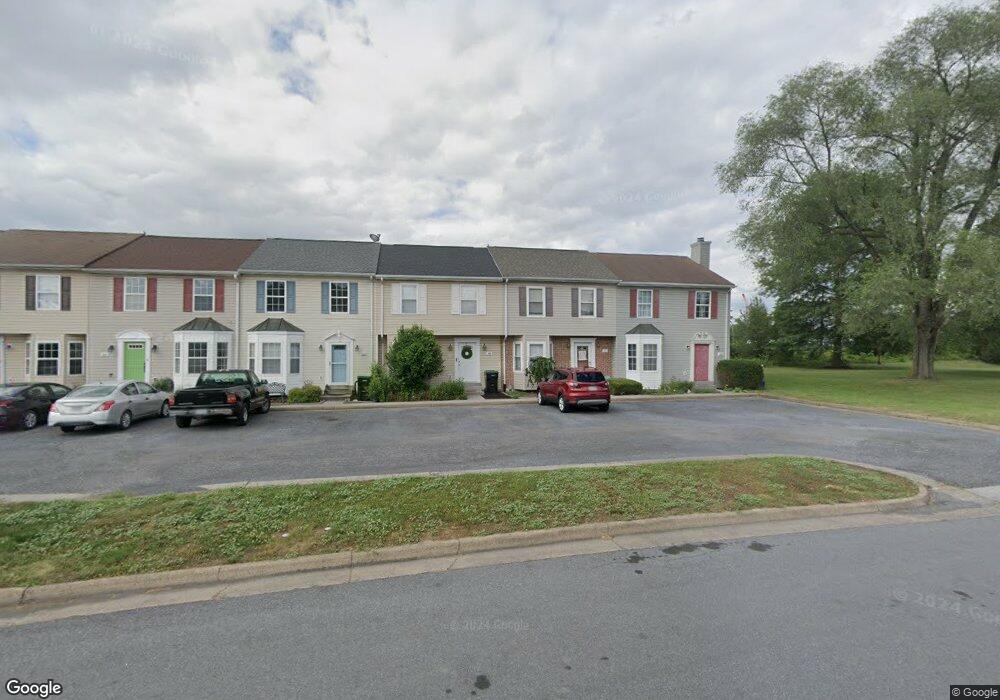
171 Lora Dr Woodstock, VA 22664
Estimated Value: $222,957 - $236,000
3
Beds
3
Baths
1,172
Sq Ft
$197/Sq Ft
Est. Value
About This Home
This home is located at 171 Lora Dr, Woodstock, VA 22664 and is currently estimated at $230,489, approximately $196 per square foot. 171 Lora Dr is a home located in Shenandoah County with nearby schools including W.W. Robinson Elementary School, Peter Muhlenberg Middle School, and Central High School.
Ownership History
Date
Name
Owned For
Owner Type
Purchase Details
Closed on
Aug 21, 2020
Sold by
Thomas Wayne C
Bought by
Brown Emily Ann
Current Estimated Value
Home Financials for this Owner
Home Financials are based on the most recent Mortgage that was taken out on this home.
Original Mortgage
$133,860
Outstanding Balance
$107,028
Interest Rate
3%
Mortgage Type
New Conventional
Estimated Equity
$123,461
Purchase Details
Closed on
Nov 7, 2019
Sold by
American Battlefield Trust
Bought by
Shenandoah Valley Battlefields Fndn
Purchase Details
Closed on
Feb 11, 2005
Sold by
Dugan Jeremy
Bought by
Thomas Wayne C
Home Financials for this Owner
Home Financials are based on the most recent Mortgage that was taken out on this home.
Original Mortgage
$127,194
Interest Rate
5.73%
Mortgage Type
FHA
Create a Home Valuation Report for This Property
The Home Valuation Report is an in-depth analysis detailing your home's value as well as a comparison with similar homes in the area
Home Values in the Area
Average Home Value in this Area
Purchase History
| Date | Buyer | Sale Price | Title Company |
|---|---|---|---|
| Brown Emily Ann | $138,000 | None Available | |
| Shenandoah Valley Battlefields Fndn | -- | None Available | |
| Thomas Wayne C | -- | None Available |
Source: Public Records
Mortgage History
| Date | Status | Borrower | Loan Amount |
|---|---|---|---|
| Open | Brown Emily Ann | $133,860 | |
| Previous Owner | Thomas Wayne C | $127,194 |
Source: Public Records
Tax History Compared to Growth
Tax History
| Year | Tax Paid | Tax Assessment Tax Assessment Total Assessment is a certain percentage of the fair market value that is determined by local assessors to be the total taxable value of land and additions on the property. | Land | Improvement |
|---|---|---|---|---|
| 2025 | $994 | $155,300 | $32,000 | $123,300 |
| 2024 | $994 | $155,300 | $32,000 | $123,300 |
| 2023 | $932 | $155,300 | $32,000 | $123,300 |
| 2022 | $901 | $155,300 | $32,000 | $123,300 |
| 2021 | $649 | $94,000 | $26,000 | $68,000 |
| 2020 | $602 | $94,000 | $26,000 | $68,000 |
| 2019 | $602 | $94,000 | $26,000 | $68,000 |
| 2018 | $602 | $94,000 | $26,000 | $68,000 |
| 2017 | $564 | $94,000 | $26,000 | $68,000 |
| 2016 | $564 | $94,000 | $26,000 | $68,000 |
| 2015 | -- | $107,700 | $26,000 | $81,700 |
| 2014 | -- | $107,700 | $26,000 | $81,700 |
Source: Public Records
Map
Nearby Homes
- 250 Parkside Ct
- 0 W Reservoir Rd Unit VASH2007744
- 252 Parkside Ct
- 151 E Reservoir Rd
- 1282 A12 Ox Rd
- 1282 Ox Rd Unit A-12
- LOT 3 S Main St
- LOT 1 S Main St
- TBD S Main St
- 756 Spring Pkwy
- 714 Jackson St
- 615 Allegheny Cir
- 336 Hollingsworth Rd
- 326 Hollingsworth Rd
- 628 Allegheny Cir
- 4767 S Ox Rd
- 605 Cedar Ct
- 544 Washington St
- 758 Honeysuckle Ave
- 118 N Muhlenberg St