Estimated Value: $749,000 - $805,000
About This Home
This home is located at 171 Low Tide Ln, Bath, NC 27808 and is currently estimated at $775,735, approximately $346 per square foot. 171 Low Tide Ln is a home with nearby schools including Bath Elementary School and Northside High School.
Ownership History
We collect this data history from publicly available records. To have your information removed, we recommend requesting removal directly through your county’s website.
Purchase Details
Home Financials for this Owner
Home Financials are based on the most recent Mortgage that was taken out on this home.Purchase Details
Purchase History
We collect this data history from publicly available records. To have your information removed, we recommend requesting removal directly through your county’s website.
| Date | Buyer | Sale Price | Title Company |
|---|---|---|---|
| $785,000 | None Listed On Document | ||
| $475,000 | -- |
Mortgage History
We collect this data history from publicly available records. To have your information removed, we recommend requesting removal directly through your county’s website.
| Date | Status | Borrower | Loan Amount |
|---|---|---|---|
| Open | $588,750 |
Tax History
We collect this data history from publicly available records. To have your information removed, we recommend requesting removal directly through your county’s website.
| Year | Tax Paid | Tax Assessment Tax Assessment Total Assessment is a certain percentage of the fair market value that is determined by local assessors to be the total taxable value of land and additions on the property. | Land | Improvement |
|---|---|---|---|---|
| 2025 | $3,227 | $555,130 | $162,540 | $392,590 |
| 2024 | $2,582 | $329,803 | $158,437 | $171,366 |
| 2023 | $2,541 | $329,803 | $158,437 | $171,366 |
| 2022 | $2,536 | $329,803 | $158,437 | $171,366 |
| 2021 | $2,531 | $329,803 | $158,437 | $171,366 |
| 2020 | $2,559 | $329,803 | $158,437 | $171,366 |
| 2019 | $2,549 | $329,803 | $158,437 | $171,366 |
| 2018 | $2,475 | $330,050 | $158,437 | $171,613 |
| 2017 | $2,315 | $340,387 | $159,491 | $180,896 |
| 2016 | $2,286 | $340,387 | $159,491 | $180,896 |
| 2013 | -- | $340,387 | $159,491 | $180,896 |
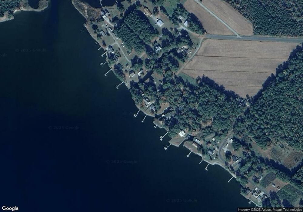
Map
- 856 Wide Waters
- 115 Waterford Dr
- 0 Wide Waters Dr
- 4961 Kelly Rd
- Lot 5 Foy Ln
- Lot 6 Foy Ln
- Lot 17 Southwinds Ln
- Lot 4 Southwinds Ln
- Lot 18 Southwinds Ln
- Lot 15 Southwinds Ln
- Lot 16 Southwinds Ln
- 48 Tarpon Pointe Rd
- 31 Pinecrest Rd
- 0 Pinecrest Rd Unit 100461767
- 33 Pinecrest Rd
- 408 Tarpon Pointe Rd
- 0 Seaview Ct
- 75 Seaview Ct
- 5 N Creek Dr
- 1052 N Creek Dr
- 150 Low Tide Ln
- 830 Ross Rd
- 120 Low Tide Ln
- 822 Ross Rd
- 131 Robert Cox Rd
- 100 Low Tide Ln
- 820 Ross Rd
- 139 Robert Cox Rd
- 416 Robert Jackson Rd
- 73 Robert Cox Rd
- 858 Ross Rd
- 0 Robert Cox Rd
- 196 Robert Cox Rd
- 53 Robert Cox Rd
- 878 Ross Rd
- 169 Robert Cox Rd
- 900 Ross Rd
- 199 Robert Cox Rd
- 233 Robert Jackson Rd
- 905 Robert Cox Rd
Ask me questions while you tour the home.