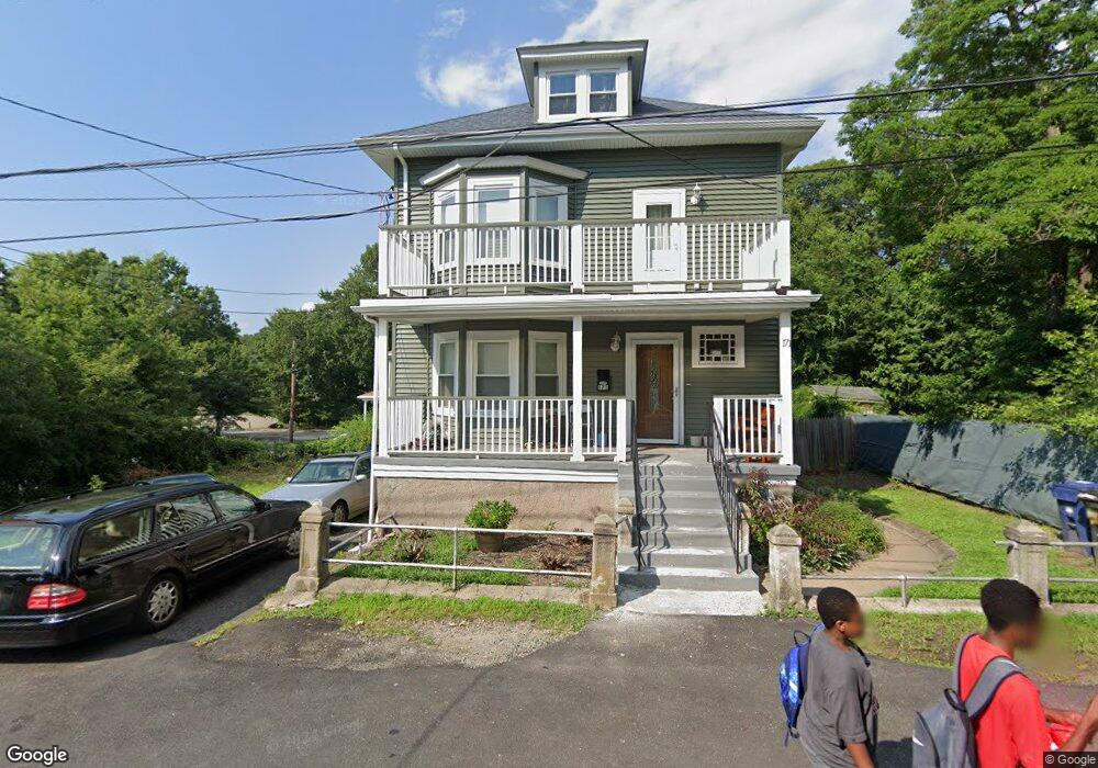
171 Messinger St Mattapan, MA 02126
Southern Mattapan NeighborhoodEstimated Value: $604,000 - $668,305
5
Beds
1
Bath
1,680
Sq Ft
$378/Sq Ft
Est. Value
About This Home
This home is located at 171 Messinger St, Mattapan, MA 02126 and is currently estimated at $635,826, approximately $378 per square foot. 171 Messinger St is a home located in Suffolk County with nearby schools including KIPP Academy Boston Charter School and Berea Seventh-day Adventist Academy.
Ownership History
Date
Name
Owned For
Owner Type
Purchase Details
Closed on
Mar 24, 1988
Sold by
Mario J Est Signori
Bought by
Preval Lionel
Current Estimated Value
Create a Home Valuation Report for This Property
The Home Valuation Report is an in-depth analysis detailing your home's value as well as a comparison with similar homes in the area
Home Values in the Area
Average Home Value in this Area
Purchase History
| Date | Buyer | Sale Price | Title Company |
|---|---|---|---|
| Preval Lionel | $130,000 | -- |
Source: Public Records
Mortgage History
| Date | Status | Borrower | Loan Amount |
|---|---|---|---|
| Open | Preval Lionel | $228,000 | |
| Closed | Preval Lionel | $21,555 | |
| Closed | Preval Lionel | $157,000 | |
| Closed | Preval Lionel | $115,200 |
Source: Public Records
Tax History Compared to Growth
Tax History
| Year | Tax Paid | Tax Assessment Tax Assessment Total Assessment is a certain percentage of the fair market value that is determined by local assessors to be the total taxable value of land and additions on the property. | Land | Improvement |
|---|---|---|---|---|
| 2025 | $7,555 | $652,400 | $167,000 | $485,400 |
| 2024 | $6,356 | $583,100 | $163,200 | $419,900 |
| 2023 | $5,963 | $555,200 | $155,400 | $399,800 |
| 2022 | $5,593 | $514,100 | $143,900 | $370,200 |
| 2021 | $5,048 | $473,100 | $137,000 | $336,100 |
| 2020 | $4,449 | $421,300 | $119,300 | $302,000 |
| 2019 | $4,250 | $403,200 | $93,200 | $310,000 |
| 2018 | $3,949 | $376,800 | $93,200 | $283,600 |
| 2017 | $2,986 | $282,000 | $93,200 | $188,800 |
| 2016 | $2,820 | $256,400 | $93,200 | $163,200 |
| 2015 | $3,049 | $251,800 | $114,800 | $137,000 |
| 2014 | $2,905 | $230,900 | $114,800 | $116,100 |
Source: Public Records
Map
Nearby Homes
- 100 Itasca St
- 14-14R Kennebec St
- 231 Itasca St
- 60 and 64 Monterey Ave
- 72 Livermore St
- 20 Monterey Ave
- 116 Almont St
- 179 Hebron St
- 839-843 Cummins Hwy
- 10 Brockton St
- 10 Itasca St
- 49 Fottler Rd
- 770 Cummins Hwy Unit 1
- 770 Cummins Hwy Unit 22
- 95 Woodhaven St
- 58 Mattapan St
- 45 1st Ave Unit 111
- 12 Hiawatha Rd
- 34 Ridlon Rd
- 1465 Blue Hill Ave
- 140 Alabama St
- 159 Colorado St
- 146 Alabama St
- 161 Colorado St
- 150 Alabama St
- 143 Colorado St
- 163 Colorado St
- 158 Colorado St
- 154 Alabama St
- 88 Messinger St
- 169 Colorado St
- 83 Messinger St
- 144 Colorado St
- 56 Monterey Ave
- 119 Alabama St
- 84 Messinger St
- 140 Colorado St
- 166 Colorado St
- 166 Colorado St Unit A
- 166 Colorado St Unit B