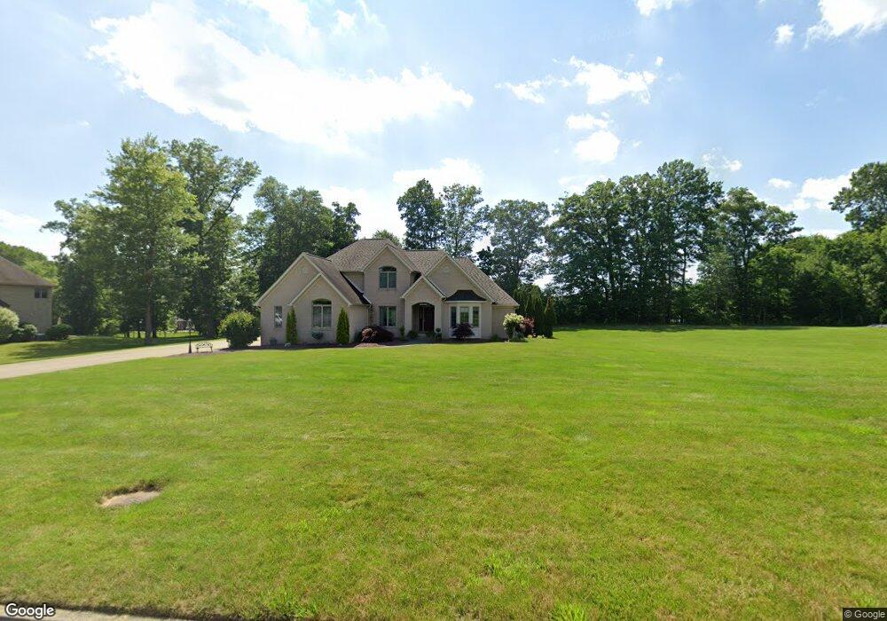
171 Michael Dr New Castle, PA 16105
Estimated Value: $441,000 - $576,605
3
Beds
3
Baths
3,410
Sq Ft
$146/Sq Ft
Est. Value
About This Home
This home is located at 171 Michael Dr, New Castle, PA 16105 and is currently estimated at $498,651, approximately $146 per square foot. 171 Michael Dr is a home located in Lawrence County with nearby schools including Neshannock Memorial Elementary School, Neshannock Junior/Senior High School, and New Castle Christian Academy.
Create a Home Valuation Report for This Property
The Home Valuation Report is an in-depth analysis detailing your home's value as well as a comparison with similar homes in the area
Home Values in the Area
Average Home Value in this Area
Tax History Compared to Growth
Tax History
| Year | Tax Paid | Tax Assessment Tax Assessment Total Assessment is a certain percentage of the fair market value that is determined by local assessors to be the total taxable value of land and additions on the property. | Land | Improvement |
|---|---|---|---|---|
| 2025 | $9,793 | $306,600 | $51,600 | $255,000 |
| 2024 | $9,241 | $306,600 | $51,600 | $255,000 |
| 2023 | $8,908 | $306,600 | $51,600 | $255,000 |
| 2022 | $8,633 | $306,600 | $51,600 | $255,000 |
| 2021 | $8,633 | $306,600 | $51,600 | $255,000 |
| 2020 | $8,201 | $296,800 | $51,600 | $245,200 |
| 2019 | $681 | $296,800 | $51,600 | $245,200 |
| 2018 | $7,592 | $296,800 | $51,600 | $245,200 |
| 2017 | $7,262 | $296,800 | $51,600 | $245,200 |
| 2016 | $2,520 | $296,800 | $51,600 | $245,200 |
| 2015 | $2,520 | $296,800 | $51,600 | $245,200 |
| 2014 | $2,520 | $296,800 | $51,600 | $245,200 |
Source: Public Records
Map
Nearby Homes
- Lot 5 Club Dr
- Lot 2 Club Dr
- Lot 1 Club Dr
- Lot 3 Club Dr
- Lot 4 Club Dr
- 3025 Spring Garden Ave
- 222 Sunset Dr
- Lot 47 Crimson Cir
- 3030 Wilmington Rd
- 1285 Old Pulaski Rd
- 3080 Eldogor Ln
- 1130 Blue Sky Dr
- 467 Old Pulaski Rd
- 8 Stephen Dr
- 3205 Penny Ln
- 138 Abbey Rd
- Lot 62 Sunnybrook Dr
- 963 Kings Chapel Rd
- 120 Buena Vista Way
- 0 Plank Rd