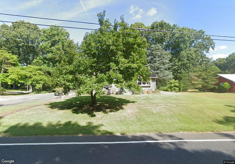
171 Mount Royal Rd Sewell, NJ 08080
Mantua Township NeighborhoodEstimated Value: $257,000 - $322,000
3
Beds
2
Baths
1,140
Sq Ft
$254/Sq Ft
Est. Value
About This Home
This home is located at 171 Mount Royal Rd, Sewell, NJ 08080 and is currently estimated at $289,516, approximately $253 per square foot. 171 Mount Royal Rd is a home located in Gloucester County with nearby schools including Centre City School, J. Mason Tomlin Elementary School, and Clearview Regional Middle School.
Ownership History
Date
Name
Owned For
Owner Type
Purchase Details
Closed on
May 29, 2009
Sold by
Hamburg Joyce A and Estate Of Raymond W Bruggman
Bought by
King Mckenna J
Current Estimated Value
Home Financials for this Owner
Home Financials are based on the most recent Mortgage that was taken out on this home.
Original Mortgage
$162,993
Outstanding Balance
$103,314
Interest Rate
4.83%
Mortgage Type
FHA
Estimated Equity
$186,202
Create a Home Valuation Report for This Property
The Home Valuation Report is an in-depth analysis detailing your home's value as well as a comparison with similar homes in the area
Home Values in the Area
Average Home Value in this Area
Purchase History
| Date | Buyer | Sale Price | Title Company |
|---|---|---|---|
| King Mckenna J | $166,000 | Foundation Title Llc |
Source: Public Records
Mortgage History
| Date | Status | Borrower | Loan Amount |
|---|---|---|---|
| Open | King Mckenna J | $162,993 |
Source: Public Records
Tax History Compared to Growth
Tax History
| Year | Tax Paid | Tax Assessment Tax Assessment Total Assessment is a certain percentage of the fair market value that is determined by local assessors to be the total taxable value of land and additions on the property. | Land | Improvement |
|---|---|---|---|---|
| 2025 | $6,069 | $235,700 | $63,100 | $172,600 |
| 2024 | $6,006 | $235,700 | $63,100 | $172,600 |
| 2023 | $6,006 | $235,700 | $63,100 | $172,600 |
| 2022 | $5,251 | $150,100 | $47,100 | $103,000 |
| 2021 | $5,290 | $150,100 | $47,100 | $103,000 |
| 2020 | $5,248 | $150,100 | $47,100 | $103,000 |
| 2019 | $5,159 | $150,100 | $47,100 | $103,000 |
| 2018 | $5,085 | $150,100 | $47,100 | $103,000 |
| 2017 | $5,009 | $150,100 | $47,100 | $103,000 |
| 2016 | $4,952 | $150,100 | $47,100 | $103,000 |
| 2015 | $4,830 | $150,100 | $47,100 | $103,000 |
| 2014 | $4,668 | $150,100 | $47,100 | $103,000 |
Source: Public Records
Map
Nearby Homes
- 26 Woodstream Ct
- 119 Monroe Ave
- 485 Harrison Ave
- 204 W Landing Rd
- 36 Bluebird Rd
- 325 Bridgeton Pike
- 261 Tony Cir
- 41 Woodbrook Dr Unit C041
- 190 Mockingbird Ln
- 1415 Tristram Cir Unit 1415
- 1410 Tristram Cir Unit 1410
- 17 Oakton Dr
- 155 Whippoorwill Way
- 8 Barry Dr
- 284 Columbus Dr
- 22 Marathon Dr
- 530 Galahad Ct
- 1230 Tristram Cir Unit 1230
- 131 Firth Dr
- 712 Sunflower Way Unit 712
- 155 Mount Royal Rd
- 163 Mount Royal Rd
- 149 Mount Royal Rd
- 160 Mount Royal Rd
- 106 Vermont Ave
- 100 Vermont Ave Unit 100
- 125 Mount Royal Rd
- 110 Taylor Ave
- 116 Taylor Ave
- 187 Mount Royal Rd
- 120 Taylor Ave
- 104 Taylor Ave
- 2 Woodstream Ct
- 397 Bridgeton Pike
- 455 Bridgeton Pike
- 6 Woodstream Ct
- 393 Bridgeton Pike
- 8 Woodstream Ct
- 10 Woodstream Ct
- 12 Woodstream Ct