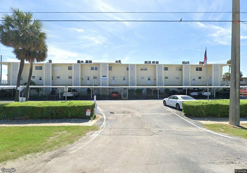
171 N Atlantic Ave Unit 35 Cocoa Beach, FL 32931
Estimated Value: $342,310 - $444,000
2
Beds
2
Baths
1,088
Sq Ft
$369/Sq Ft
Est. Value
About This Home
This home is located at 171 N Atlantic Ave Unit 35, Cocoa Beach, FL 32931 and is currently estimated at $401,578, approximately $369 per square foot. 171 N Atlantic Ave Unit 35 is a home located in Brevard County with nearby schools including Theodore Roosevelt Elementary School, Cocoa Beach Junior/Senior High School, and Cocoa Beach Christian School.
Ownership History
Date
Name
Owned For
Owner Type
Purchase Details
Closed on
Sep 1, 2006
Sold by
Browne George Bernard
Bought by
Sheffield Victoria L
Current Estimated Value
Home Financials for this Owner
Home Financials are based on the most recent Mortgage that was taken out on this home.
Original Mortgage
$294,500
Outstanding Balance
$182,378
Interest Rate
7.25%
Mortgage Type
New Conventional
Estimated Equity
$219,200
Purchase Details
Closed on
Apr 29, 2004
Sold by
Casali Alice and Cinto Charles J
Bought by
Browne George Bernard
Create a Home Valuation Report for This Property
The Home Valuation Report is an in-depth analysis detailing your home's value as well as a comparison with similar homes in the area
Home Values in the Area
Average Home Value in this Area
Purchase History
| Date | Buyer | Sale Price | Title Company |
|---|---|---|---|
| Sheffield Victoria L | $310,000 | Landamerica Gulfatlantic Tit | |
| Browne George Bernard | $215,000 | Superior Title Insurance Age |
Source: Public Records
Mortgage History
| Date | Status | Borrower | Loan Amount |
|---|---|---|---|
| Open | Sheffield Victoria L | $294,500 |
Source: Public Records
Tax History Compared to Growth
Tax History
| Year | Tax Paid | Tax Assessment Tax Assessment Total Assessment is a certain percentage of the fair market value that is determined by local assessors to be the total taxable value of land and additions on the property. | Land | Improvement |
|---|---|---|---|---|
| 2025 | $1,749 | $154,790 | -- | -- |
| 2024 | $1,699 | $150,430 | -- | -- |
| 2023 | $1,699 | $146,050 | $0 | $0 |
| 2022 | $1,553 | $141,800 | $0 | $0 |
| 2021 | $1,537 | $137,670 | $0 | $0 |
| 2020 | $1,519 | $135,770 | $0 | $0 |
| 2019 | $1,499 | $132,720 | $0 | $0 |
| 2018 | $1,485 | $130,250 | $0 | $0 |
| 2017 | $1,485 | $127,580 | $0 | $0 |
| 2016 | $1,473 | $124,960 | $0 | $0 |
| 2015 | $1,472 | $124,100 | $0 | $0 |
| 2014 | $1,473 | $123,120 | $0 | $0 |
Source: Public Records
Map
Nearby Homes
- 171 N Atlantic Ave Unit 40
- 118 N Atlantic Ave
- 209 N Atlantic Ave Unit 6
- 65 N Atlantic Ave Unit 307
- 225 N Atlantic Ave Unit 205
- 225 N Atlantic Ave Unit 303
- 15 N Atlantic Ave Unit 105
- 299 N Atlantic Ave Unit 301
- 300 N Brevard Ave
- 310 N Atlantic Ave
- 333 N Atlantic Ave Unit 305
- 255 Woodland Ave Unit 1
- 240 Woodland Ave Unit 2
- 335 N Brevard Ave
- 85 S Atlantic Ave Unit 306
- 344 N Brevard Ave
- 383 N Atlantic Ave Unit 105
- 383 N Atlantic Ave Unit 505
- 150 Cedar Ave
- 111 S Atlantic Ave
- 171 N Atlantic Ave Unit 24
- 171 N Atlantic Ave Unit 22
- 171 N Atlantic Ave Unit 19
- 171 N Atlantic Ave Unit 36
- 171 N Atlantic Ave Unit 38
- 171 N Atlantic Ave Unit 33
- 171 N Atlantic Ave Unit 20
- 171 N Atlantic Ave Unit 25
- 171 N Atlantic Ave Unit 18
- 171 N Atlantic Ave Unit 31
- 171 N Atlantic Ave Unit 32
- 171 N Atlantic Ave Unit 27
- 171 N Atlantic Ave Unit 41
- 171 N Atlantic Ave Unit 39
- 171 N Atlantic Ave Unit 34
- 171 N Atlantic Ave Unit 28
- 171 N Atlantic Ave Unit 26
- 171 N Atlantic Ave Unit 21
- 171 N Atlantic Ave Unit 29
- 171 N Atlantic Ave Unit 23