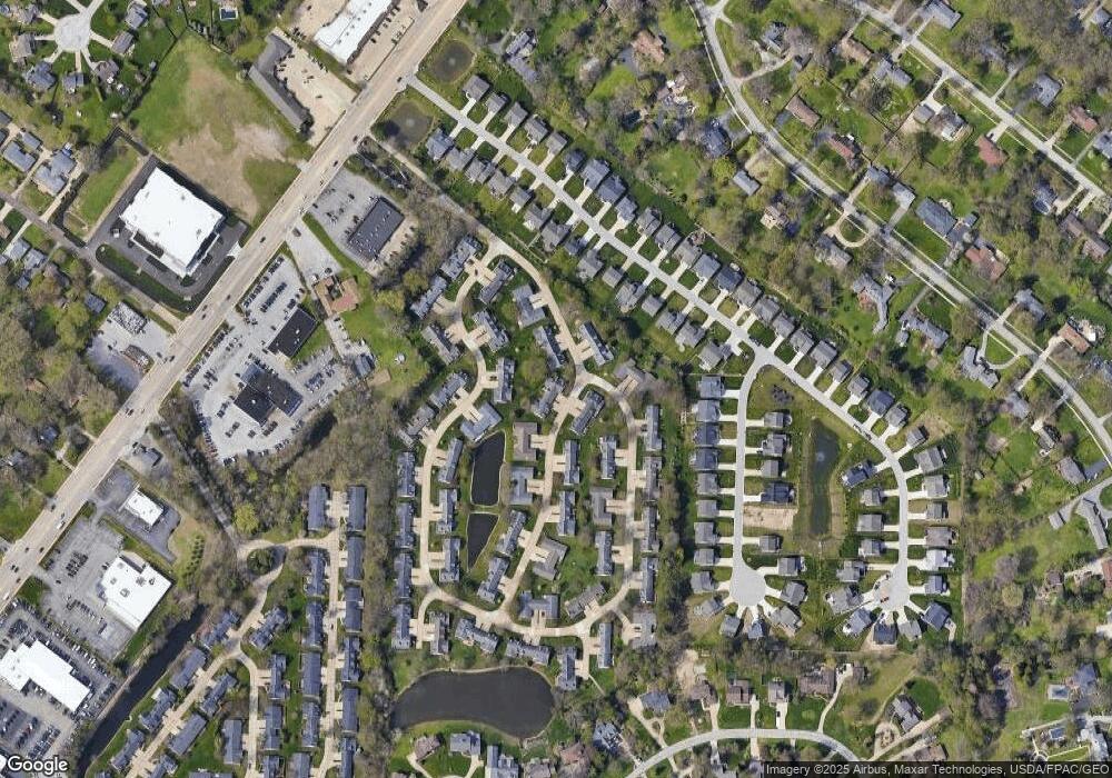
171 Newport Dr Unit 171 Painesville, OH 44077
Estimated Value: $275,000 - $294,000
3
Beds
2
Baths
1,788
Sq Ft
$158/Sq Ft
Est. Value
About This Home
This home is located at 171 Newport Dr Unit 171, Painesville, OH 44077 and is currently estimated at $282,989, approximately $158 per square foot. 171 Newport Dr Unit 171 is a home located in Lake County with nearby schools including Henry F. Lamuth Middle School, Riverside Junior/Senior High School, and Hershey Montessori Elementary School.
Ownership History
Date
Name
Owned For
Owner Type
Purchase Details
Closed on
Sep 30, 2011
Sold by
Buell Ted S
Bought by
Buell Theodore S and Buell Ted S
Current Estimated Value
Purchase Details
Closed on
Nov 5, 2007
Sold by
Gorman Joseph Michael and Gorman Beth B
Bought by
Buell Ted S and Nicol Dolores A
Purchase Details
Closed on
Oct 14, 2002
Sold by
Searles Richard D and Searles Carol K
Bought by
Gorman Joseph Michael
Home Financials for this Owner
Home Financials are based on the most recent Mortgage that was taken out on this home.
Original Mortgage
$100,000
Interest Rate
5.64%
Purchase Details
Closed on
Jan 1, 1990
Bought by
Searles Richard D
Create a Home Valuation Report for This Property
The Home Valuation Report is an in-depth analysis detailing your home's value as well as a comparison with similar homes in the area
Home Values in the Area
Average Home Value in this Area
Purchase History
| Date | Buyer | Sale Price | Title Company |
|---|---|---|---|
| Buell Theodore S | -- | Attorney | |
| Nicol Dolores A | -- | Attorney | |
| Buell Ted S | $160,000 | Enterprise Title | |
| Gorman Joseph Michael | $172,000 | Executive Title | |
| Searles Richard D | -- | -- |
Source: Public Records
Mortgage History
| Date | Status | Borrower | Loan Amount |
|---|---|---|---|
| Previous Owner | Gorman Joseph Michael | $100,000 |
Source: Public Records
Tax History Compared to Growth
Tax History
| Year | Tax Paid | Tax Assessment Tax Assessment Total Assessment is a certain percentage of the fair market value that is determined by local assessors to be the total taxable value of land and additions on the property. | Land | Improvement |
|---|---|---|---|---|
| 2024 | -- | $78,640 | $16,380 | $62,260 |
| 2023 | $6,831 | $62,690 | $13,650 | $49,040 |
| 2022 | $3,165 | $62,690 | $13,650 | $49,040 |
| 2021 | $3,176 | $62,690 | $13,650 | $49,040 |
| 2020 | $2,905 | $52,250 | $11,380 | $40,870 |
| 2019 | $2,927 | $52,250 | $11,380 | $40,870 |
| 2018 | $2,743 | $45,360 | $3,500 | $41,860 |
| 2017 | $2,550 | $45,360 | $3,500 | $41,860 |
| 2016 | $2,246 | $45,360 | $3,500 | $41,860 |
| 2015 | $2,095 | $45,360 | $3,500 | $41,860 |
| 2014 | $2,130 | $45,360 | $3,500 | $41,860 |
| 2013 | $2,081 | $45,360 | $3,500 | $41,860 |
Source: Public Records
Map
Nearby Homes
- 135 Nantucket Cir
- 81 Fairfield Rd
- 31 Fairfield Rd
- 110 Hampshire Cove Unit 110
- 1936 Mentor Ave
- 2051 Kingsborough Dr
- 317 Chesapeake Cove Unit 317
- 2155 Ridgebury Dr
- 1651 Mentor Ave Unit 2008
- 1651 Mentor Ave Unit 912
- 1651 Mentor Ave Unit 2804
- 1651 Mentor Ave Unit 106
- 1651 Mentor Ave Unit 1706
- 339 Barrington Ridge Rd
- 139 Mill Morr Dr
- 146 Garfield Dr
- 6509 Hudson Ave
- 6677 Stratford Rd
- 26 Middleton Dr
- 153 N Doan Ave
- 172 Newport Dr Unit 172
- 106 Nantucket Cir
- 173 Newport Dr Unit 173
- 174 Newport Dr
- 161 Nantucket Cir
- 105 Nantucket Cir Unit 105
- 162 Nantucket Cir Unit 162
- 175 Newport Dr
- 108 Nantucket Cir
- 107 Nantucket Cir Unit 107
- 177 Newport Dr
- 157 Nantucket Cir Unit 157
- 176 Newport Dr Unit 176
- 109 Nantucket Cir Unit 109
- 164 Nantucket Cir Unit 164
- 104 Nantucket Cir
- 113 Nantucket Cir
- 110 Nantucket Cir
- 178 Newport Dr
- 158 Nantucket Cir
