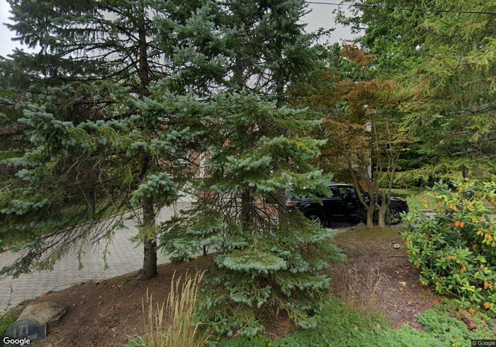
171 Pershing Rd Englewood Cliffs, NJ 07632
Estimated Value: $2,592,748 - $3,007,000
Studio
--
Bath
5,354
Sq Ft
$535/Sq Ft
Est. Value
About This Home
This home is located at 171 Pershing Rd, Englewood Cliffs, NJ 07632 and is currently estimated at $2,863,916, approximately $534 per square foot. 171 Pershing Rd is a home located in Bergen County with nearby schools including North Cliff Elementary School, Upper School Elementary School, and The Moriah School.
Ownership History
Date
Name
Owned For
Owner Type
Purchase Details
Closed on
Jul 28, 2008
Sold by
Merjian Mardi R and Saraydarian Alice
Bought by
Saraydarian Alice
Current Estimated Value
Purchase Details
Closed on
Aug 6, 1993
Sold by
America Inc Juki Of Nj
Bought by
Merjian Mardi and Merjian Saraydarian, A
Create a Home Valuation Report for This Property
The Home Valuation Report is an in-depth analysis detailing your home's value as well as a comparison with similar homes in the area
Home Values in the Area
Average Home Value in this Area
Purchase History
| Date | Buyer | Sale Price | Title Company |
|---|---|---|---|
| Saraydarian Alice | -- | -- | |
| Merjian Mardi | $445,000 | -- |
Source: Public Records
Tax History Compared to Growth
Tax History
| Year | Tax Paid | Tax Assessment Tax Assessment Total Assessment is a certain percentage of the fair market value that is determined by local assessors to be the total taxable value of land and additions on the property. | Land | Improvement |
|---|---|---|---|---|
| 2025 | $26,379 | $2,283,900 | $1,177,300 | $1,106,600 |
| 2024 | $26,059 | $2,283,900 | $1,177,300 | $1,106,600 |
| 2023 | $25,648 | $2,283,900 | $1,177,300 | $1,106,600 |
| 2022 | $25,648 | $2,283,900 | $1,177,300 | $1,106,600 |
| 2021 | $19,716 | $2,283,900 | $1,177,300 | $1,106,600 |
| 2020 | $26,288 | $2,283,900 | $1,177,300 | $1,106,600 |
| 2019 | $24,689 | $2,283,900 | $1,177,300 | $1,106,600 |
| 2018 | $23,821 | $2,283,900 | $1,177,300 | $1,106,600 |
| 2017 | $22,793 | $2,283,900 | $1,177,300 | $1,106,600 |
| 2016 | $22,359 | $2,283,900 | $1,177,300 | $1,106,600 |
| 2015 | $21,240 | $2,283,900 | $1,177,300 | $1,106,600 |
| 2014 | $19,870 | $2,283,900 | $1,177,300 | $1,106,600 |
Source: Public Records
Map
Nearby Homes
- 2 Maple St
- 140 Demarest Ave
- 148 Demarest Ave
- 144 Demarest Ave
- 645 Summit St
- 45 Marjorie Terrace
- 577 Floyd St
- 48 Cambridge Place
- 231 N Woodland St
- 394 E Palisade Ave
- 200 Lincoln St
- 48 S Woodland St
- 277 Walnut St
- 14 Allison Dr
- 14 Roberts Rd
- 285 Maple St
- 37 Roberts Rd
- 395 Highview Rd
- 405 Highview Rd
- 292 Maple St
- 175 Pershing Rd
- 160 Chestnut St
- 156 Chestnut St
- 149 Pershing Rd
- 164 Pershing Rd
- 162 Pershing Rd
- 152 Chestnut St
- 170 Pershing Rd
- 185 Pershing Rd
- 150 Chestnut St
- 172 Chestnut St
- 178 Pershing Rd
- 158 Pershing Rd
- 146 Chestnut St
- 147 Pershing Rd
- 155 Demarest Ave
- 180 Chestnut St
- 151 Demarest Ave
- 154 Pershing Rd
- 195 Pershing Rd
