171 Rugg Brook Rd Winsted, CT 06098
Estimated Value: $466,565 - $732,000
3
Beds
3
Baths
2,484
Sq Ft
$231/Sq Ft
Est. Value
About This Home
This home is located at 171 Rugg Brook Rd, Winsted, CT 06098 and is currently estimated at $573,391, approximately $230 per square foot. 171 Rugg Brook Rd is a home located in Litchfield County with nearby schools including Explorations Charter School.
Ownership History
Date
Name
Owned For
Owner Type
Purchase Details
Closed on
Jun 29, 2011
Sold by
Garnet Dev Llc
Bought by
Hladek Steven A and Hladek Joanne P
Current Estimated Value
Purchase Details
Closed on
Oct 3, 2006
Sold by
Garnet Dev Llc
Bought by
Hladek Steven A and Hladek Joanne P
Purchase Details
Closed on
Jul 30, 2004
Sold by
Win 21 Llc
Bought by
Garnet Dev Llc
Purchase Details
Closed on
Nov 25, 2003
Sold by
Krugel Michael A
Bought by
Win 21 Llc
Create a Home Valuation Report for This Property
The Home Valuation Report is an in-depth analysis detailing your home's value as well as a comparison with similar homes in the area
Home Values in the Area
Average Home Value in this Area
Purchase History
| Date | Buyer | Sale Price | Title Company |
|---|---|---|---|
| Hladek Steven A | $25,000 | -- | |
| Hladek Steven A | $25,000 | -- | |
| Hladek Steven A | $360,000 | -- | |
| Hladek Steven A | $360,000 | -- | |
| Garnet Dev Llc | $79,900 | -- | |
| Garnet Dev Llc | $79,900 | -- | |
| Win 21 Llc | $31,000 | -- | |
| Win 21 Llc | $31,000 | -- |
Source: Public Records
Tax History Compared to Growth
Tax History
| Year | Tax Paid | Tax Assessment Tax Assessment Total Assessment is a certain percentage of the fair market value that is determined by local assessors to be the total taxable value of land and additions on the property. | Land | Improvement |
|---|---|---|---|---|
| 2025 | $6,738 | $231,000 | $54,880 | $176,120 |
| 2024 | $6,292 | $231,000 | $54,880 | $176,120 |
| 2023 | $6,096 | $231,000 | $54,880 | $176,120 |
| 2022 | $6,095 | $181,720 | $41,300 | $140,420 |
| 2021 | $6,095 | $181,720 | $41,300 | $140,420 |
| 2020 | $6,095 | $181,720 | $41,300 | $140,420 |
| 2019 | $6,095 | $181,720 | $41,300 | $140,420 |
| 2018 | $6,095 | $181,720 | $41,300 | $140,420 |
| 2017 | $6,060 | $180,670 | $39,410 | $141,260 |
| 2016 | $6,060 | $180,670 | $39,410 | $141,260 |
| 2015 | $5,908 | $180,670 | $39,410 | $141,260 |
| 2014 | $5,765 | $180,670 | $39,410 | $141,260 |
Source: Public Records
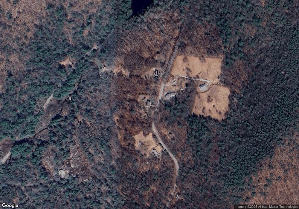
Map
Nearby Homes
- 000000 Norfolk Rd
- 148 Danbury Quarter Rd
- 393 Winchester Rd
- 73 Norfolk Rd
- 32 Norfolk Rd
- 256 Colebrook Rd
- 119 W Wakefield Blvd
- 99 Norfolk Rd
- 99 Hubbard St
- 77 Hubbard St
- 00 Chapel Rd
- 9 John St
- 118 Meadow St
- 0 Winsted Norfolk Rd Unit 24089254
- 38 Upland Rd
- 156 Lincoln Ave
- 431 W Wakefield Blvd
- 720 Main St
- 36 Flagg Hill Rd
- 151 Losaw Rd
- 177 Rugg Brook Rd
- 167 Rugg Brook Rd
- 244 Old Waterbury Turnpike
- 217 Rugg Brook Rd
- 166 Rugg Brook Rd
- 172 Rugg Brook Rd
- 246 Old Waterbury Turnpike
- 173 Rugg Brook Rd
- 160 Rugg Brook Rd
- 158 Rugg Brook Rd
- 152 Rugg Brook Rd
- 154 Rugg Brook Rd
- 150 Rugg Brook Rd
- 148 Rugg Brook Rd
- 143 Rugg Brook Rd
- 147 Rugg Brook Rd
- 138 Rugg Brook Rd
- 135 Rugg Brook Rd
- 128 Rugg Brook Rd
- 127 Rugg Brook Rd