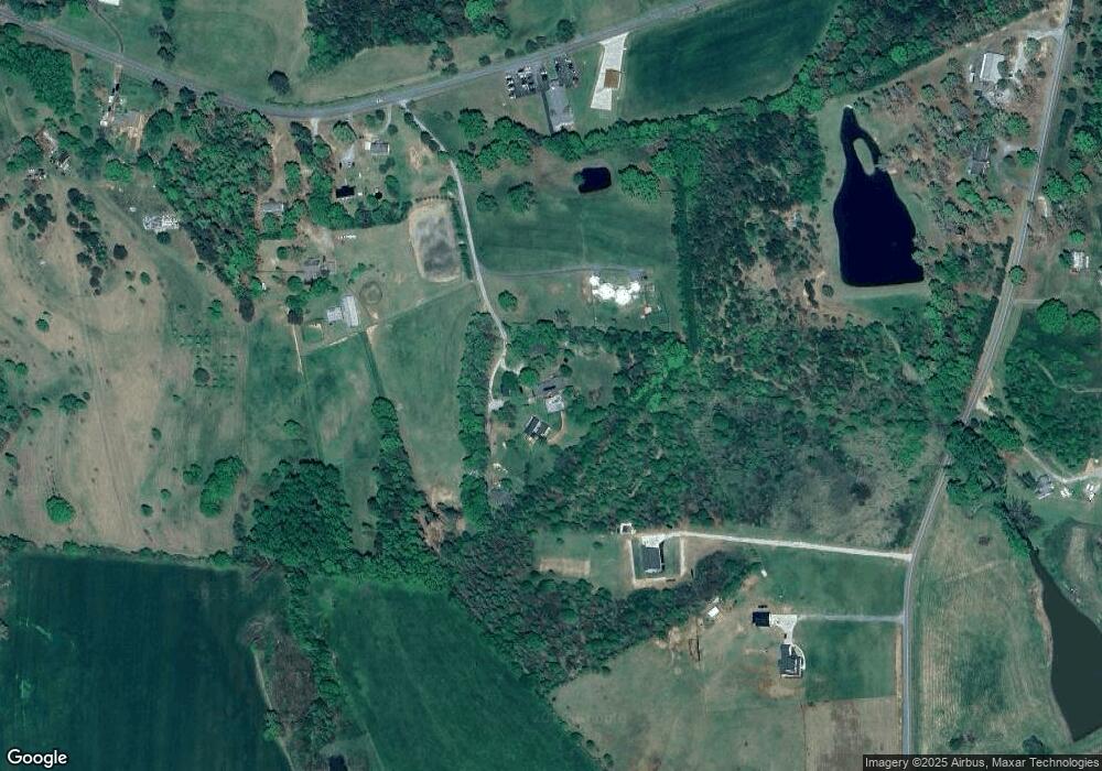
171 Sassy Ln Columbus, NC 28722
Estimated Value: $523,611 - $807,000
3
Beds
3
Baths
2,680
Sq Ft
$256/Sq Ft
Est. Value
About This Home
This home is located at 171 Sassy Ln, Columbus, NC 28722 and is currently estimated at $686,870, approximately $256 per square foot. 171 Sassy Ln is a home located in Polk County.
Ownership History
Date
Name
Owned For
Owner Type
Purchase Details
Closed on
Jun 4, 2009
Sold by
Dupree Marshall Lee and Dupree Laurie A
Bought by
Goldstein Stuart R and Kleiner Wendy E
Current Estimated Value
Home Financials for this Owner
Home Financials are based on the most recent Mortgage that was taken out on this home.
Original Mortgage
$213,750
Outstanding Balance
$135,050
Interest Rate
4.77%
Mortgage Type
New Conventional
Estimated Equity
$551,820
Purchase Details
Closed on
Mar 30, 2004
Bought by
Goldstein Stuart R
Purchase Details
Closed on
Dec 31, 1997
Bought by
Goldstein Stuart R
Create a Home Valuation Report for This Property
The Home Valuation Report is an in-depth analysis detailing your home's value as well as a comparison with similar homes in the area
Home Values in the Area
Average Home Value in this Area
Purchase History
| Date | Buyer | Sale Price | Title Company |
|---|---|---|---|
| Goldstein Stuart R | $285,000 | None Available | |
| Goldstein Stuart R | $230,000 | -- | |
| Goldstein Stuart R | -- | -- |
Source: Public Records
Mortgage History
| Date | Status | Borrower | Loan Amount |
|---|---|---|---|
| Open | Goldstein Stuart R | $213,750 |
Source: Public Records
Tax History Compared to Growth
Tax History
| Year | Tax Paid | Tax Assessment Tax Assessment Total Assessment is a certain percentage of the fair market value that is determined by local assessors to be the total taxable value of land and additions on the property. | Land | Improvement |
|---|---|---|---|---|
| 2025 | $1,939 | $364,883 | $82,740 | $282,143 |
| 2024 | $1,862 | $287,255 | $62,640 | $224,615 |
| 2023 | $1,833 | $287,255 | $62,640 | $224,615 |
| 2022 | $1,811 | $287,255 | $62,640 | $224,615 |
| 2021 | $1,753 | $287,255 | $62,640 | $224,615 |
| 2020 | $1,444 | $222,229 | $62,640 | $159,589 |
| 2019 | $1,444 | $222,229 | $62,640 | $159,589 |
| 2018 | $1,355 | $222,229 | $62,640 | $159,589 |
| 2017 | $1,311 | $230,878 | $47,580 | $183,298 |
| 2016 | $1,377 | $230,878 | $47,580 | $183,298 |
| 2015 | $1,298 | $0 | $0 | $0 |
| 2014 | $1,298 | $0 | $0 | $0 |
| 2013 | -- | $0 | $0 | $0 |
Source: Public Records
Map
Nearby Homes
- 00 Chesnee Rd
- 0 Prince Rd Unit Lot 4 CAR4217750
- 0 Prince Rd Unit 1546693
- 185 Robinson Acres Ln
- 1970 Chesnee Rd
- 157 Melvin Hill Rd
- 251 Vera Ln
- 140 Vera Ln
- 265 Phillip Henderson Rd
- 174 Way Home Ln
- 660 Scoggins Rd
- 660 Scoggins Rd
- 4600 Peachtree Rd
- 1054 Sandy Springs Rd
- 49 Meadowbrook Rd
- 4830 Chesnee Rd
- 390 Old Mill Rd
- 00 Green Creek Dr
- 650 Mc Dowell Rd
- 103 Sassy Ln
- 299 Prince Rd
- 2662 Chesnee Rd
- 2800 Chesnee Rd
- 0 Chesnee Rd Unit 211950
- 0 Chesnee Rd Unit 221015
- 0 Chesnee Rd Unit NCM541314
- 0 Chesnee Rd Unit NCM544179
- 0 Chesnee Rd Unit NCM568139
- 0 Chesnee Rd Unit NCM578345
- 0 Chesnee Rd Unit NCM578344
- 0 Chesnee Rd Unit NCM578340
- 0 Chesnee Rd Unit 3154080
- 0 Chesnee Rd Unit A CAR4007616
- 2560 Chesnee Rd
- 00 Prince Rd
- 168 Prince Rd
- 2539 Chesnee Rd
- 164 Prince Rd
- 2495 Chesnee Rd
