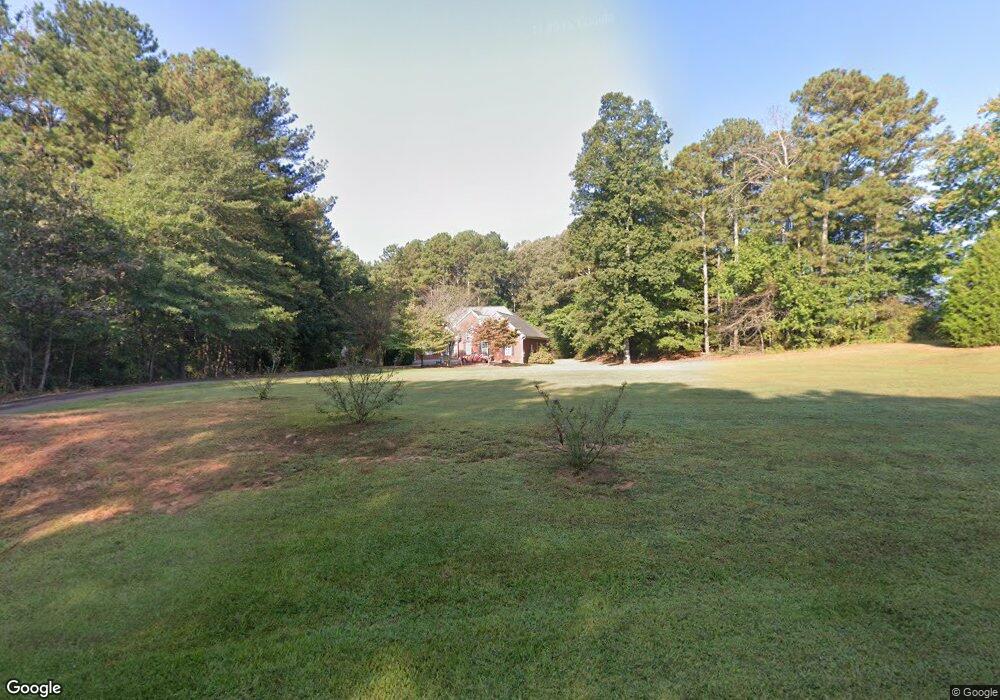
171 Seabolt Way Carrollton, GA 30117
Estimated Value: $366,000 - $486,000
3
Beds
2
Baths
2,316
Sq Ft
$191/Sq Ft
Est. Value
About This Home
This home is located at 171 Seabolt Way, Carrollton, GA 30117 and is currently estimated at $442,423, approximately $191 per square foot. 171 Seabolt Way is a home located in Carroll County with nearby schools including Roopville Elementary School, Central Middle School, and Central High School.
Ownership History
Date
Name
Owned For
Owner Type
Purchase Details
Closed on
Sep 14, 2023
Sold by
Ivy Bluff Properties Inc
Bought by
Joyner Lemuel Gordon
Current Estimated Value
Purchase Details
Closed on
Dec 20, 2002
Sold by
Webb Terry D
Bought by
Ivy Bluff Properties Inc
Purchase Details
Closed on
Sep 7, 2001
Sold by
Israel James B and Israel Fay
Bought by
Webb Terry D
Purchase Details
Closed on
Sep 2, 2000
Sold by
Seabolt M Wayne
Bought by
Israel James B and Israel Fay
Purchase Details
Closed on
Aug 23, 2000
Sold by
Seabolt M Wayne
Bought by
Israel James B and Israel Fay
Purchase Details
Closed on
Jul 11, 1999
Bought by
Seabolt M Wayne
Create a Home Valuation Report for This Property
The Home Valuation Report is an in-depth analysis detailing your home's value as well as a comparison with similar homes in the area
Home Values in the Area
Average Home Value in this Area
Purchase History
| Date | Buyer | Sale Price | Title Company |
|---|---|---|---|
| Joyner Lemuel Gordon | -- | -- | |
| Ivy Bluff Properties Inc | $220,000 | -- | |
| Webb Terry D | $28,300 | -- | |
| Israel James B | $28,500 | -- | |
| Israel James B | -- | -- | |
| Seabolt M Wayne | -- | -- |
Source: Public Records
Tax History Compared to Growth
Tax History
| Year | Tax Paid | Tax Assessment Tax Assessment Total Assessment is a certain percentage of the fair market value that is determined by local assessors to be the total taxable value of land and additions on the property. | Land | Improvement |
|---|---|---|---|---|
| 2024 | $3,800 | $168,000 | $21,068 | $146,932 |
| 2023 | $3,800 | $175,431 | $22,000 | $153,431 |
| 2022 | $3,640 | $145,128 | $22,000 | $123,128 |
| 2021 | $3,262 | $127,233 | $22,000 | $105,233 |
| 2020 | $2,973 | $115,837 | $22,000 | $93,837 |
| 2019 | $2,789 | $107,762 | $22,000 | $85,762 |
| 2018 | $2,533 | $96,462 | $22,000 | $74,462 |
| 2017 | $2,541 | $96,462 | $22,000 | $74,462 |
| 2016 | $2,542 | $96,462 | $22,000 | $74,462 |
| 2015 | $2,443 | $87,358 | $12,000 | $75,359 |
| 2014 | $2,453 | $87,359 | $12,000 | $75,359 |
Source: Public Records
Map
Nearby Homes
- 4144 Tyus Carrollton Rd
- 4228 Tyus Carrollton Rd
- 1358 W 5 Hwy
- 0 Needmore Rd Unit (345 37 Acres)
- TRACT 2 Attaway Rd Unit TRACT 4.59 ACRES
- Tract 1 Attaway Road Tract 4 15 Acres Unit 185
- TRACT 1 Attaway Rd Unit 4.15 ACRES
- 0 Needmore Road- (345 37 Acres)
- 0 Needmore Rd Unit (345.37 ACRES)
- 1187 Attaway Rd
- TRACT 2 Attaway Road Tract 4 59 Acres Unit 185
- 630 Stoney Point Rd
- 537 Craven Rd
- 534 Craven Rd
- 534 Craven Rd Unit 137
- 1629 Bethesda Church Rd
- 1611 Bethesda Church Rd
- 1593 Bethesda Church Rd
- 558 Craven Rd
- 1575 Bethesda Church Rd
- 157 Seabolt Way
- 0 Seabolt Way
- 184 Seabolt Way
- 143 Seabolt Way
- 198 Seabolt Way
- 170 Seabolt Way
- 170 Seabolt Way Unit 4,5
- 212 Seabolt Way
- 129 Seabolt Way
- 226 Seabolt Way
- 125 Seabolt Way
- 2749 Bethesda Church Rd
- 241 Seabolt Way
- 128 Seabolt Way
- 240 Seabolt Way
- 2805 Bethesda Church Rd
- 2800 Bethesda Church Rd
- 2788 Bethesda Church Rd
- 1585 W Highway 5
- 2794 Bethesda Church Rd
