171 Silver Pine Rd Statesville, NC 28625
Estimated Value: $387,000 - $488,000
3
Beds
2
Baths
1,556
Sq Ft
$282/Sq Ft
Est. Value
About This Home
This home is located at 171 Silver Pine Rd, Statesville, NC 28625 and is currently estimated at $438,572, approximately $281 per square foot. 171 Silver Pine Rd is a home located in Iredell County with nearby schools including Sharon Elementary School, West Iredell Middle School, and West Iredell High School.
Ownership History
Date
Name
Owned For
Owner Type
Purchase Details
Closed on
Aug 23, 2010
Sold by
Chandley Carol E
Bought by
Cook Jody W and Cook Mary J
Current Estimated Value
Home Financials for this Owner
Home Financials are based on the most recent Mortgage that was taken out on this home.
Original Mortgage
$188,000
Outstanding Balance
$124,600
Interest Rate
4.59%
Mortgage Type
New Conventional
Estimated Equity
$313,972
Purchase Details
Closed on
Nov 1, 1994
Purchase Details
Closed on
Jun 1, 1992
Create a Home Valuation Report for This Property
The Home Valuation Report is an in-depth analysis detailing your home's value as well as a comparison with similar homes in the area
Home Values in the Area
Average Home Value in this Area
Purchase History
| Date | Buyer | Sale Price | Title Company |
|---|---|---|---|
| Cook Jody W | $235,000 | None Available | |
| -- | $130,000 | -- | |
| -- | $38,000 | -- |
Source: Public Records
Mortgage History
| Date | Status | Borrower | Loan Amount |
|---|---|---|---|
| Open | Cook Jody W | $188,000 |
Source: Public Records
Tax History Compared to Growth
Tax History
| Year | Tax Paid | Tax Assessment Tax Assessment Total Assessment is a certain percentage of the fair market value that is determined by local assessors to be the total taxable value of land and additions on the property. | Land | Improvement |
|---|---|---|---|---|
| 2024 | $2,025 | $333,120 | $147,790 | $185,330 |
| 2023 | $2,025 | $333,120 | $147,790 | $185,330 |
| 2022 | $1,438 | $219,570 | $88,670 | $130,900 |
| 2021 | $1,434 | $219,570 | $88,670 | $130,900 |
| 2020 | $1,434 | $219,570 | $88,670 | $130,900 |
| 2019 | $1,412 | $219,570 | $88,670 | $130,900 |
| 2018 | $1,391 | $224,100 | $106,890 | $117,210 |
| 2017 | $1,391 | $224,100 | $106,890 | $117,210 |
| 2016 | $1,391 | $224,100 | $106,890 | $117,210 |
| 2015 | $1,391 | $224,100 | $106,890 | $117,210 |
| 2014 | $1,331 | $230,480 | $106,920 | $123,560 |
Source: Public Records
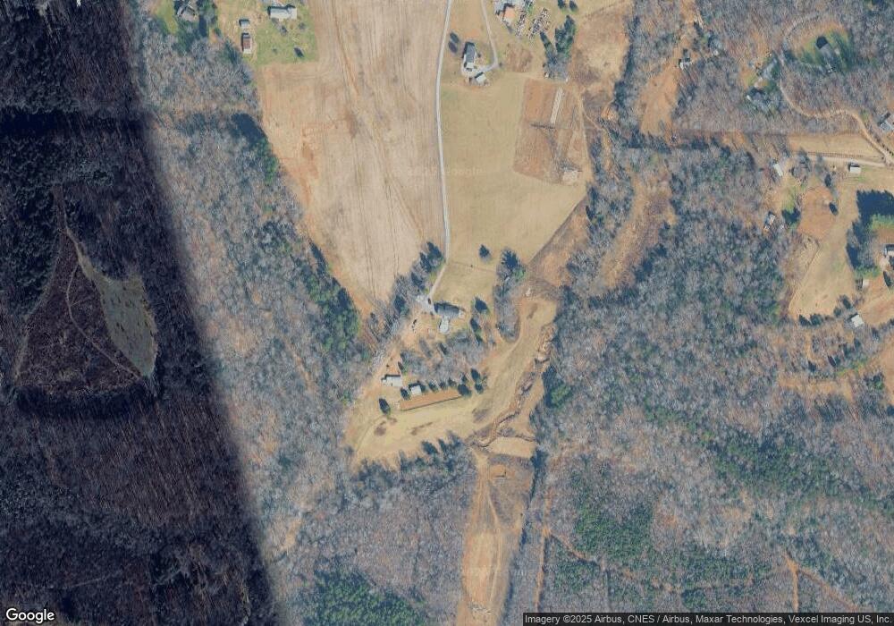
Map
Nearby Homes
- 230 Mock Mill Rd
- 214 Mock Mill Rd
- 1834 Island Ford Rd
- 462 Mock Mill Rd
- 109 Titleist Dr
- 113 Titleist Dr
- 126 Top Flite Dr
- 0 Lippard Farm Rd
- 3662 Hickory Hwy
- 153 Larue Cir
- 152 Colonial Heights Ln
- 163 Whitney Ln
- 129 Broken Arrow Dr Unit 2
- 116 Deer Trail Rd
- 000 Fonda Rd
- 138 Broken Arrow Dr
- 148 Broken Arrow Dr
- 268 Broken Arrow Dr
- 260 Broken Arrow Dr
- 127 Walnut Tree Rd
- 1601 Island Ford Rd
- 1563 Island Ford Rd
- 1635 Island Ford Rd
- 166 Cullen Ln
- 1649 Island Ford Rd
- 1597 Island Ford Rd
- 1618 Island Ford Rd
- 182 Cullen Ln
- 105 Old Miller Rd
- 1590 Island Ford Rd
- 1584 Island Ford Rd
- 244 Maristone Dr
- 250 Maristone Dr
- 139 Cullen Ln
- 163 Cullen Ln
- 224 Maristone Dr
- 251 Maristone Dr
- 1675 Island Ford Rd
- 243 Maristone Dr