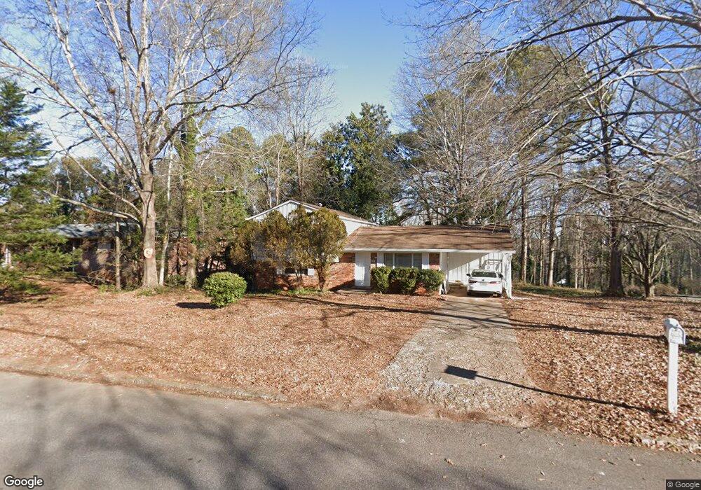
171 Soule St Athens, GA 30605
Estimated Value: $247,011 - $329,000
3
Beds
2
Baths
1,042
Sq Ft
$282/Sq Ft
Est. Value
About This Home
This home is located at 171 Soule St, Athens, GA 30605 and is currently estimated at $293,753, approximately $281 per square foot. 171 Soule St is a home located in Clarke County with nearby schools including Barnett Shoals Elementary School, Hilsman Middle School, and Cedar Shoals High School.
Ownership History
Date
Name
Owned For
Owner Type
Purchase Details
Closed on
Oct 27, 2016
Sold by
Olga B
Bought by
Said William A
Current Estimated Value
Purchase Details
Closed on
May 15, 1995
Sold by
Secretary Of Veterns Affairs
Bought by
Said William A and Kirolos Olga B
Purchase Details
Closed on
Sep 6, 1994
Sold by
Charles F Curry Company
Bought by
Secretary Of Veterns Affairs
Purchase Details
Closed on
May 31, 1991
Sold by
Tommie Glenn Wayne and Tommie Michelle D
Bought by
Davis Andrew J and Davis Sonia J
Purchase Details
Closed on
Feb 28, 1990
Sold by
Clarke Bowman L
Bought by
Tommie Glenn Wayne and Tommie Michelle D
Create a Home Valuation Report for This Property
The Home Valuation Report is an in-depth analysis detailing your home's value as well as a comparison with similar homes in the area
Home Values in the Area
Average Home Value in this Area
Purchase History
| Date | Buyer | Sale Price | Title Company |
|---|---|---|---|
| Said William A | -- | -- | |
| Said William A | -- | -- | |
| Secretary Of Veterns Affairs | $47,100 | -- | |
| Charles F Curry Company | $47,100 | -- | |
| Davis Andrew J | $66,700 | -- | |
| Tommie Glenn Wayne | $56,500 | -- |
Source: Public Records
Tax History Compared to Growth
Tax History
| Year | Tax Paid | Tax Assessment Tax Assessment Total Assessment is a certain percentage of the fair market value that is determined by local assessors to be the total taxable value of land and additions on the property. | Land | Improvement |
|---|---|---|---|---|
| 2025 | $931 | $68,326 | $12,000 | $56,326 |
| 2024 | $931 | $63,990 | $12,000 | $51,990 |
| 2023 | $340 | $61,022 | $12,000 | $49,022 |
| 2022 | $1,009 | $52,372 | $12,000 | $40,372 |
| 2021 | $949 | $44,065 | $12,000 | $32,065 |
| 2020 | $913 | $41,423 | $12,000 | $29,423 |
| 2019 | $895 | $39,540 | $12,000 | $27,540 |
| 2018 | $875 | $38,104 | $12,000 | $26,104 |
| 2017 | $810 | $33,857 | $12,000 | $21,857 |
| 2016 | $819 | $34,134 | $12,000 | $22,134 |
| 2015 | $934 | $37,506 | $12,000 | $25,506 |
| 2014 | $963 | $38,267 | $12,000 | $26,267 |
Source: Public Records
Map
Nearby Homes
- 411 College Cir
- 105 Segrest Cir
- 310 Research Dr Unit 802
- 310 Research Dr Unit 602
- 325 University Cir
- 325 Segrest Cir
- 145 Phinizy Ln
- 1138 Barnett Shoals Rd
- 119 Pine Ridge Trace
- 335 Caldwell Cir
- 219 Georgetown Dr
- 170 Brookwood Dr
- 310 Spalding Cir
- 1035 Barnett Shoals Rd Unit 1010
- 1035 Barnett Shoals Rd Unit 313
- 1035 Barnett Shoals Rd Unit 223
- 1035 Barnett Shoals Rd Unit 913
- 161 Soule St
- 391 College Cir
- 151 Soule St
- 401 College Cir
- 340 College Cir
- 416 College Cir
- 141 Soule St
- 371 College Cir
- 330 College Cir
- 170 Soule St
- 421 College Cir
- 121 Mark Twain Cir
- 179 Jarnigan Dr
- 131 Soule St
- 173 Jarnigan Dr
- 117 Mark Twain Cir Unit D
- 117 Mark Twain Cir Unit B
- 117 Mark Twain Cir
- 117 Mark Twain Cir Unit A
- 320 College Cir