171 Southpoint Dr Camdenton, MO 65020
Estimated Value: $331,329 - $438,000
--
Bed
--
Bath
2,036
Sq Ft
$186/Sq Ft
Est. Value
About This Home
This home is located at 171 Southpoint Dr, Camdenton, MO 65020 and is currently estimated at $378,582, approximately $185 per square foot. 171 Southpoint Dr is a home with nearby schools including Camdenton High School and Show-ME Christian Youth Home.
Ownership History
Date
Name
Owned For
Owner Type
Purchase Details
Closed on
Feb 1, 2022
Sold by
Stone Place Farms Llc
Bought by
Webster Jennifer Lee and Webster Kevin Lamar
Current Estimated Value
Home Financials for this Owner
Home Financials are based on the most recent Mortgage that was taken out on this home.
Original Mortgage
$201,450
Outstanding Balance
$187,531
Interest Rate
3.76%
Mortgage Type
Construction
Estimated Equity
$191,051
Purchase Details
Closed on
Nov 1, 1996
Bought by
Howery Alexander K
Create a Home Valuation Report for This Property
The Home Valuation Report is an in-depth analysis detailing your home's value as well as a comparison with similar homes in the area
Home Values in the Area
Average Home Value in this Area
Purchase History
| Date | Buyer | Sale Price | Title Company |
|---|---|---|---|
| Webster Jennifer Lee | $251,812 | Integrity Title Solutions Llc | |
| Howery Alexander K | -- | -- |
Source: Public Records
Mortgage History
| Date | Status | Borrower | Loan Amount |
|---|---|---|---|
| Open | Webster Jennifer Lee | $201,450 |
Source: Public Records
Tax History Compared to Growth
Tax History
| Year | Tax Paid | Tax Assessment Tax Assessment Total Assessment is a certain percentage of the fair market value that is determined by local assessors to be the total taxable value of land and additions on the property. | Land | Improvement |
|---|---|---|---|---|
| 2024 | $1,174 | $26,880 | $0 | $0 |
| 2023 | $1,174 | $26,880 | $0 | $0 |
| 2022 | $1,149 | $26,880 | $0 | $0 |
| 2021 | $1,137 | $26,600 | $0 | $0 |
| 2020 | $1,144 | $26,600 | $0 | $0 |
| 2019 | $1,144 | $26,600 | $0 | $0 |
| 2018 | $1,144 | $26,600 | $0 | $0 |
| 2017 | $1,087 | $26,600 | $0 | $0 |
| 2016 | $1,060 | $26,600 | $0 | $0 |
| 2015 | $1,127 | $26,600 | $0 | $0 |
| 2014 | $1,126 | $0 | $0 | $0 |
| 2013 | -- | $26,600 | $0 | $0 |
Source: Public Records
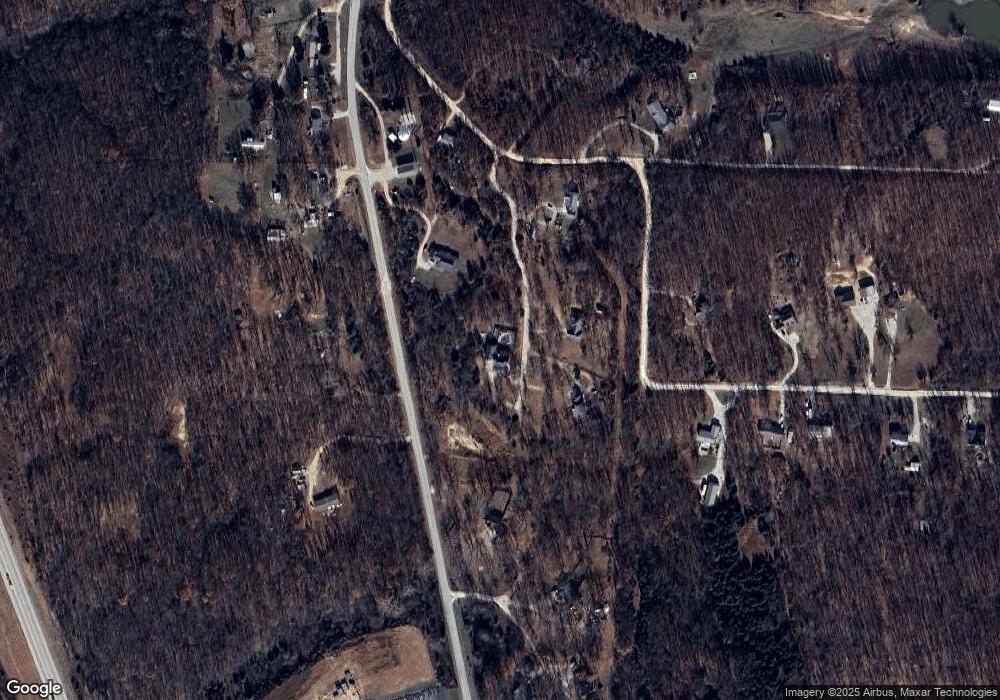
Map
Nearby Homes
- 5281 Old South 5
- 115 Twisted Oaks Dr
- 270 County Route P
- 181 Elkhorn Rd
- 293 Windsong Rd
- Lot 66 Forget me Not Ln
- 58 Apple Cider
- Lot #4 Moreland Rd
- Lot #3 Moreland Rd
- TBD Smokey Dr
- 1108 Moreland Rd
- 74 Cody Ln
- Lot #6 Great Oaks Dr
- Lot #5 Great Oaks Dr
- 124 Meadowlark Ln
- #1 County Road 5-987a
- 01 County Road 5-987a
- 173 Berryhill Ln
- 1389 Crater Hill Rd
- 6552 High Point Rd
- 222 Southpoint Dr
- 182 Southpoint Dr
- 182 Southpoint Rd
- 51 Southpoint Dr
- 51 Southpoint Dr
- 280 Southpoint Dr
- 280 Southpoint Dr
- 0 Misty Meadows Dr
- 80 Misty Meadows Dr
- 44 Misty Meadows Ln
- 5147 Old South 5
- 40 Southpoint Dr
- 5147 Old South 5
- #4 Water Tower Rd
- #2 Water Tower Rd
- 0 Water Tower Rd
- 5123 Old South 5
- 5123 Old South 5
- 74 Misty Meadows Ln
- 74 Misty Meadows Ln