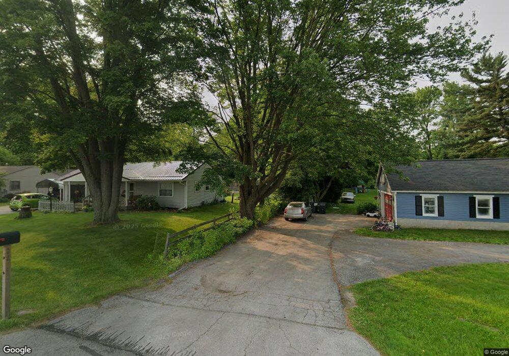
171 State Route 61 Norwalk, OH 44857
Estimated Value: $165,000 - $361,000
4
Beds
2
Baths
2,198
Sq Ft
$124/Sq Ft
Est. Value
About This Home
This home is located at 171 State Route 61, Norwalk, OH 44857 and is currently estimated at $272,550, approximately $123 per square foot. 171 State Route 61 is a home located in Huron County with nearby schools including Maplehurst Elementary School, League Elementary School, and Pleasant Elementary School.
Ownership History
Date
Name
Owned For
Owner Type
Purchase Details
Closed on
Sep 25, 2008
Bought by
Mason Michael L
Current Estimated Value
Purchase Details
Closed on
Jan 28, 2008
Bought by
Wagner Jane and Wagner Charlotte
Purchase Details
Closed on
Dec 7, 2007
Bought by
Wagner Jane
Purchase Details
Closed on
Jun 12, 2007
Bought by
Woodward Charles A
Purchase Details
Closed on
Mar 3, 2004
Bought by
Woodward Elizabeth A
Create a Home Valuation Report for This Property
The Home Valuation Report is an in-depth analysis detailing your home's value as well as a comparison with similar homes in the area
Home Values in the Area
Average Home Value in this Area
Purchase History
| Date | Buyer | Sale Price | Title Company |
|---|---|---|---|
| Mason Michael L | $149,500 | -- | |
| Wagner Jane | -- | -- | |
| Wagner Jane | -- | -- | |
| Woodward Charles A | -- | -- | |
| Woodward Elizabeth A | -- | -- |
Source: Public Records
Tax History Compared to Growth
Tax History
| Year | Tax Paid | Tax Assessment Tax Assessment Total Assessment is a certain percentage of the fair market value that is determined by local assessors to be the total taxable value of land and additions on the property. | Land | Improvement |
|---|---|---|---|---|
| 2024 | $2,178 | $57,840 | $12,500 | $45,340 |
| 2023 | $2,178 | $46,180 | $10,360 | $35,820 |
| 2022 | $1,702 | $46,180 | $10,360 | $35,820 |
| 2021 | $1,703 | $46,180 | $10,360 | $35,820 |
| 2020 | $1,721 | $44,410 | $9,600 | $34,810 |
| 2019 | $1,713 | $44,410 | $9,600 | $34,810 |
| 2018 | $1,681 | $44,410 | $9,600 | $34,810 |
| 2017 | $1,546 | $39,750 | $9,040 | $30,710 |
| 2016 | $1,515 | $39,750 | $9,040 | $30,710 |
| 2015 | $1,515 | $39,760 | $9,050 | $30,710 |
| 2014 | $1,375 | $36,400 | $9,030 | $27,370 |
| 2013 | $1,180 | $36,400 | $9,030 | $27,370 |
Source: Public Records
Map
Nearby Homes
- 112 State Route 61 Unit 25
- 121 Leisure Ln
- 34 Old State Rd N
- 17 Sara Dr
- 154 Gallup Ave
- 14 Whitefield Blvd
- 27 Whitefield Blvd
- 0 Cleveland Rd
- 203 Spino St
- 173 Saint Marys St
- 10 Parsons St
- 45 Grove Ave
- 6 Blossom Dr Unit B
- 14 Republic St
- 4925 Old State Rd N
- 37 S Garden St
- 120 Woodlawn Ave
- 0 Milan Ave
- 29 Corwin St
- 85 Woodlawn Ave
- 159 State Route 61
- 155 State Route 61
- 191 State Route 61
- 4305 Ferris Ln
- 141 State Route 61
- 197 State Route 61
- 4295 Ferris Ln
- 192 State Route 61
- 4283 Ferris Ln
- 4277 Ferris Ln
- SR61 208 A & B
- 135 State Route 61
- 211 State Route 61
- 208 State Route 61
- 4306 Ferris Ln
- 4296 Ferris Ln
- 4271 Ferris Ln
- 215 State Route 61
- 218 State Route 61
- 123 State Route 61