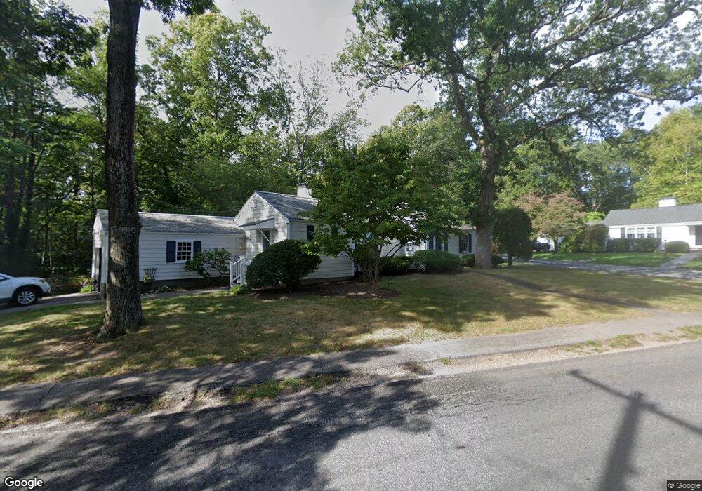
171 Summer St Hingham, MA 02043
Estimated Value: $719,000 - $810,000
3
Beds
2
Baths
1,190
Sq Ft
$650/Sq Ft
Est. Value
About This Home
This home is located at 171 Summer St, Hingham, MA 02043 and is currently estimated at $773,056, approximately $649 per square foot. 171 Summer St is a home located in Plymouth County with nearby schools including East Elementary School, Hingham Middle School, and Hingham High School.
Ownership History
Date
Name
Owned For
Owner Type
Purchase Details
Closed on
Jun 4, 2020
Sold by
Montgomery Mary A Est
Bought by
Montgomery Jean M
Current Estimated Value
Home Financials for this Owner
Home Financials are based on the most recent Mortgage that was taken out on this home.
Original Mortgage
$265,000
Outstanding Balance
$235,340
Interest Rate
3.3%
Mortgage Type
New Conventional
Estimated Equity
$537,716
Purchase Details
Closed on
Aug 15, 1972
Bought by
Montgomery Robert R and Montgomery Mary A
Create a Home Valuation Report for This Property
The Home Valuation Report is an in-depth analysis detailing your home's value as well as a comparison with similar homes in the area
Purchase History
| Date | Buyer | Sale Price | Title Company |
|---|---|---|---|
| Montgomery Jean M | $450,000 | None Available | |
| Montgomery Robert R | $35,000 | -- |
Source: Public Records
Mortgage History
| Date | Status | Borrower | Loan Amount |
|---|---|---|---|
| Open | Montgomery Jean M | $265,000 | |
| Previous Owner | Montgomery Robert R | $30,000 | |
| Previous Owner | Montgomery Robert R | $30,000 |
Source: Public Records
Tax History
| Year | Tax Paid | Tax Assessment Tax Assessment Total Assessment is a certain percentage of the fair market value that is determined by local assessors to be the total taxable value of land and additions on the property. | Land | Improvement |
|---|---|---|---|---|
| 2025 | $6,721 | $628,700 | $413,200 | $215,500 |
| 2024 | $6,639 | $611,900 | $413,200 | $198,700 |
| 2023 | $6,068 | $606,800 | $413,200 | $193,600 |
| 2022 | $5,827 | $504,100 | $356,400 | $147,700 |
| 2021 | $5,780 | $489,800 | $356,400 | $133,400 |
| 2020 | $5,860 | $508,200 | $375,100 | $133,100 |
| 2019 | $5,909 | $500,300 | $375,100 | $125,200 |
| 2018 | $5,701 | $484,400 | $375,100 | $109,300 |
| 2017 | $5,644 | $460,700 | $344,200 | $116,500 |
| 2016 | $5,548 | $444,200 | $327,700 | $116,500 |
| 2015 | $5,365 | $428,200 | $311,700 | $116,500 |
Source: Public Records
Map
Nearby Homes
Your Personal Tour Guide
Ask me questions while you tour the home.