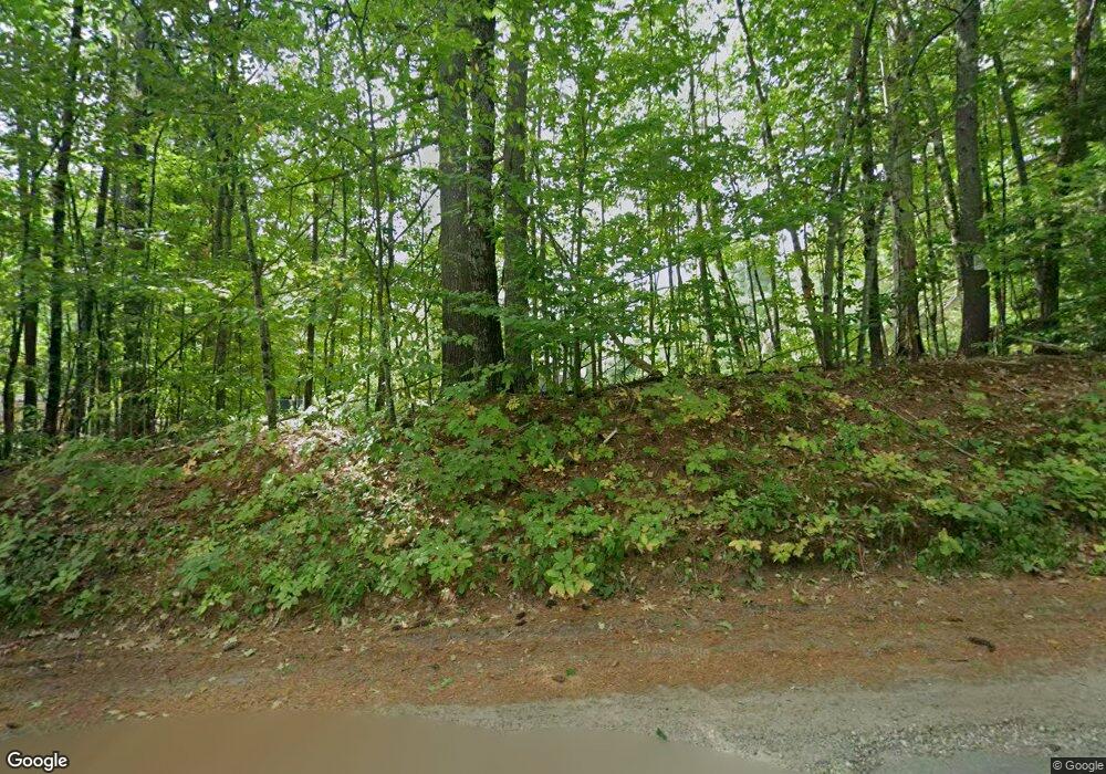
171 Tuckerman Rd Ashburnham, MA 01430
Estimated Value: $476,437 - $729,000
4
Beds
2
Baths
2,472
Sq Ft
$249/Sq Ft
Est. Value
About This Home
This home is located at 171 Tuckerman Rd, Ashburnham, MA 01430 and is currently estimated at $615,359, approximately $248 per square foot. 171 Tuckerman Rd is a home located in Worcester County with nearby schools including Oakmont Regional High School.
Ownership History
Date
Name
Owned For
Owner Type
Purchase Details
Closed on
Jul 15, 2021
Sold by
Clabaugh William J and Clabaugh Elizabeth J
Bought by
Maitland Suzanne N and Young Kenneth A
Current Estimated Value
Purchase Details
Closed on
Nov 12, 1999
Sold by
Cormier Karl Henry and Cormier Nancy A
Bought by
Young Kenneth A and Maitland Suzanne N
Purchase Details
Closed on
Apr 29, 1988
Sold by
Bisbee David
Bought by
Cormier Karl Henry
Create a Home Valuation Report for This Property
The Home Valuation Report is an in-depth analysis detailing your home's value as well as a comparison with similar homes in the area
Home Values in the Area
Average Home Value in this Area
Purchase History
| Date | Buyer | Sale Price | Title Company |
|---|---|---|---|
| Maitland Suzanne N | -- | None Available | |
| Young Kenneth A | $210,000 | -- | |
| Young Kenneth A | $210,000 | -- | |
| Cormier Karl Henry | $130,000 | -- |
Source: Public Records
Mortgage History
| Date | Status | Borrower | Loan Amount |
|---|---|---|---|
| Previous Owner | Cormier Karl Henry | $209,000 | |
| Previous Owner | Cormier Karl Henry | $88,000 |
Source: Public Records
Tax History Compared to Growth
Tax History
| Year | Tax Paid | Tax Assessment Tax Assessment Total Assessment is a certain percentage of the fair market value that is determined by local assessors to be the total taxable value of land and additions on the property. | Land | Improvement |
|---|---|---|---|---|
| 2025 | $5,984 | $402,400 | $58,400 | $344,000 |
| 2024 | $5,873 | $372,900 | $57,500 | $315,400 |
| 2023 | $6,011 | $363,200 | $57,500 | $305,700 |
| 2022 | $6,123 | $324,300 | $52,200 | $272,100 |
| 2021 | $6,110 | $297,300 | $52,200 | $245,100 |
| 2020 | $5,976 | $297,300 | $52,200 | $245,100 |
| 2019 | $5,592 | $248,000 | $52,200 | $195,800 |
| 2018 | $5,476 | $234,000 | $49,300 | $184,700 |
| 2017 | $5,269 | $229,400 | $46,000 | $183,400 |
| 2016 | $4,919 | $216,200 | $45,400 | $170,800 |
| 2015 | $4,817 | $216,200 | $45,400 | $170,800 |
Source: Public Records
Map
Nearby Homes
- 199 Tuckerman Rd
- 98 Goldmine Rd
- 119 W Shore Dr
- 0 Winding Cove Rd Unit 73431444
- 8 Laurel Dr
- 207 Sherbert Rd
- 226 Lakeview Dr
- 6 Wyman Rd
- 35 Hillside Dr
- 16 2nd St
- 150-152 Mill Cir
- 0 Monomonac Rd W
- 16 Maple Place
- 495 Winchendon Rd
- 15 Colonial Ln
- 11 Colonial Ln
- 41 Peggi Ln
- 358 Winchendon Rd
- Lot 3 W State Rd
- 19 Monomonac Terrace
- 390 Spruce Dr
- 173 Tuckerman Rd
- 183 Tuckerman Rd
- 183 Tuckerman Rd
- Lot 6-1 Tuckerman Rd
- 30 Bluefield Rd
- 339 Bluefield Rd
- 349 Bluefield Dr
- 199 Tuckerman Rd
- 17 Indian Point Dr
- 8 Brogan Ln
- 2 Brogan Ln
- 10 Brogan Ln
- 606 Indian Point Dr
- 155 Tuckerman Rd
- 0 Goldmine Rd
- 9 Indian Point Dr
- 12 Daniels Ln
- 37 Spruce Dr
- 23 Bluefield Rd
