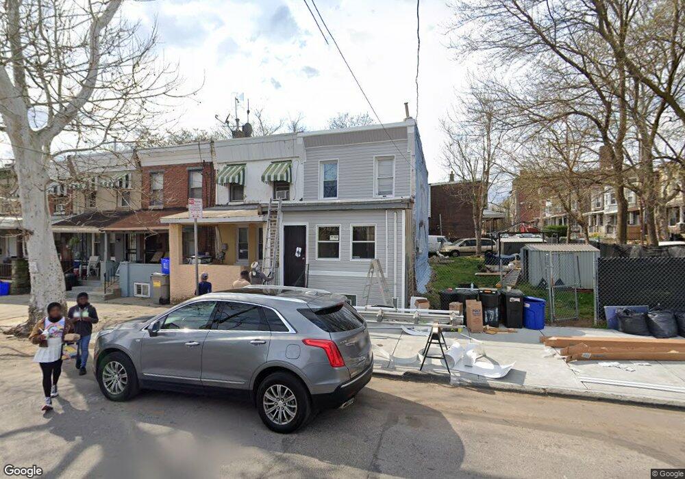
171 W Logan St Philadelphia, PA 19144
Germantown NeighborhoodEstimated Value: $169,000 - $208,438
--
Bed
1
Bath
1,533
Sq Ft
$122/Sq Ft
Est. Value
About This Home
This home is located at 171 W Logan St, Philadelphia, PA 19144 and is currently estimated at $187,360, approximately $122 per square foot. 171 W Logan St is a home located in Philadelphia County with nearby schools including John B. Kelly School, Roosevelt Theodore Middle School, and Martin Luther King High School.
Ownership History
Date
Name
Owned For
Owner Type
Purchase Details
Closed on
Aug 28, 2015
Sold by
Deutsche Bank National Trust Co
Bought by
Bridging The Gap Ministries
Current Estimated Value
Purchase Details
Closed on
Jan 6, 2014
Sold by
Bey Raheem
Bought by
Deutsche Bank National Trust Co
Purchase Details
Closed on
Dec 5, 2001
Sold by
Rossi Richard J
Bought by
Lewis Timothy M
Purchase Details
Closed on
Dec 28, 1998
Sold by
Rossi Richard and Rossi Christie
Bought by
Rossi Richard J
Create a Home Valuation Report for This Property
The Home Valuation Report is an in-depth analysis detailing your home's value as well as a comparison with similar homes in the area
Home Values in the Area
Average Home Value in this Area
Purchase History
| Date | Buyer | Sale Price | Title Company |
|---|---|---|---|
| Bridging The Gap Ministries | -- | North American Title | |
| Deutsche Bank National Trust Co | $8,200 | City Line Abstract Co | |
| Lewis Timothy M | $25,000 | -- | |
| Rossi Richard J | -- | -- |
Source: Public Records
Tax History Compared to Growth
Tax History
| Year | Tax Paid | Tax Assessment Tax Assessment Total Assessment is a certain percentage of the fair market value that is determined by local assessors to be the total taxable value of land and additions on the property. | Land | Improvement |
|---|---|---|---|---|
| 2025 | $1,544 | $175,500 | $35,100 | $140,400 |
| 2024 | $1,544 | $175,500 | $35,100 | $140,400 |
| 2023 | $1,544 | $110,300 | $22,000 | $88,300 |
| 2022 | $1,219 | $110,300 | $22,000 | $88,300 |
| 2021 | $1,219 | $0 | $0 | $0 |
| 2020 | $1,219 | $0 | $0 | $0 |
| 2019 | $421 | $0 | $0 | $0 |
| 2018 | $775 | $0 | $0 | $0 |
| 2017 | $775 | $0 | $0 | $0 |
| 2016 | $775 | $0 | $0 | $0 |
| 2015 | $742 | $0 | $0 | $0 |
| 2014 | -- | $55,400 | $7,254 | $48,146 |
| 2012 | -- | $5,760 | $953 | $4,807 |
Source: Public Records
Map
Nearby Homes
- 130 W Logan St
- 173 W Wyneva St
- 109 W Logan St
- 4910 Greene St
- 113 W Abbottsford Ave
- 4706 Greene St
- 107 W Seymour St
- 228 W Seymour St
- 5012 Greene St
- 214 W Abbottsford Ave
- 5037 Keyser St
- 55 W Seymour St
- 4845 Pulaski Ave
- 178 W Manheim St
- 39 W Wyneva St
- 157 W Apsley St
- 137 W Manheim St
- 4923 Royal St
- 37 W Seymour St
- 4623 Pulaski Ave
- 173 W Logan St
- 175 W Logan St
- 177 W Logan St
- 179 W Logan St
- 181 W Logan St
- 4914 Keyser St
- 4916 Keyser St
- 185 W Logan St
- 4918 Keyser St
- 167 69 W Logan St
- 103 W Logan St
- 187 W Logan St
- 4920 Keyser St
- 172 W Logan St
- 4913 Keyser St
- 4922 Keyser St
- 4915 Keyser St
- 174 W Logan St
- 159 W Logan St
- 176 W Logan St