171 Weldon Ln Thomasville, NC 27360
Estimated Value: $231,000 - $246,000
3
Beds
2
Baths
2,036
Sq Ft
$119/Sq Ft
Est. Value
About This Home
This home is located at 171 Weldon Ln, Thomasville, NC 27360 and is currently estimated at $241,767, approximately $118 per square foot. 171 Weldon Ln is a home located in Davidson County with nearby schools including Brier Creek Elementary School, E. Lawson Brown Middle School, and East Davidson High School.
Ownership History
Date
Name
Owned For
Owner Type
Purchase Details
Closed on
Sep 12, 2003
Sold by
Pierce Rodney R Inc Et Als
Bought by
Hicks David L
Current Estimated Value
Purchase Details
Closed on
May 30, 2003
Sold by
Watford John Benjamin Et Als
Bought by
Pierce Rodney R Inc Et Als
Purchase Details
Closed on
Mar 18, 2003
Sold by
Watford Terry Lee
Bought by
Watford John Benjamin Et Als
Purchase Details
Closed on
Mar 3, 2003
Sold by
Watford Weldon Russell
Bought by
Watford Terry Lee
Create a Home Valuation Report for This Property
The Home Valuation Report is an in-depth analysis detailing your home's value as well as a comparison with similar homes in the area
Home Values in the Area
Average Home Value in this Area
Purchase History
| Date | Buyer | Sale Price | Title Company |
|---|---|---|---|
| Hicks David L | $123,500 | -- | |
| Pierce Rodney R Inc Et Als | $47,000 | -- | |
| Watford John Benjamin Et Als | $70,000 | -- | |
| Watford Terry Lee | $28,000 | -- |
Source: Public Records
Tax History Compared to Growth
Tax History
| Year | Tax Paid | Tax Assessment Tax Assessment Total Assessment is a certain percentage of the fair market value that is determined by local assessors to be the total taxable value of land and additions on the property. | Land | Improvement |
|---|---|---|---|---|
| 2025 | $901 | $142,930 | $0 | $0 |
| 2024 | $901 | $142,930 | $0 | $0 |
| 2023 | $901 | $142,930 | $0 | $0 |
| 2022 | $901 | $142,930 | $0 | $0 |
| 2021 | $901 | $142,930 | $0 | $0 |
| 2020 | $826 | $130,960 | $0 | $0 |
| 2019 | $838 | $130,960 | $0 | $0 |
| 2018 | $838 | $130,960 | $0 | $0 |
| 2017 | $838 | $130,960 | $0 | $0 |
| 2016 | $812 | $130,960 | $0 | $0 |
| 2015 | $812 | $130,960 | $0 | $0 |
| 2014 | $837 | $135,060 | $0 | $0 |
Source: Public Records
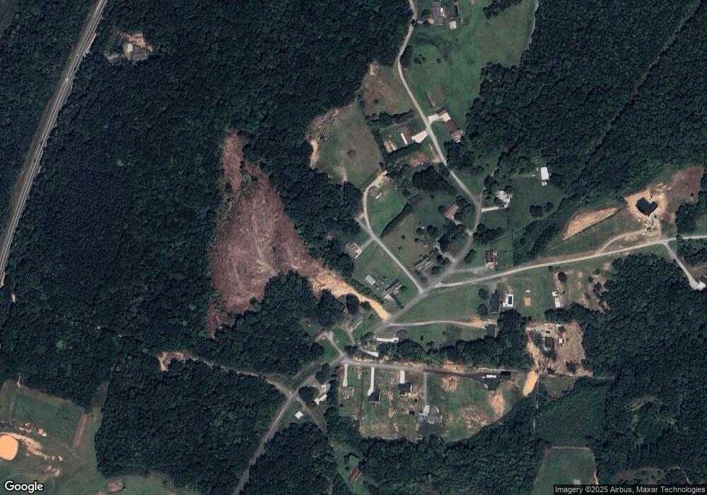
Map
Nearby Homes
- 3339 Kennedy Rd
- Lot 13/14 Hickory Trail
- 731 Pauls Airport Rd
- 104 Max Moore Rd
- 215 Fairfield Ct
- 298 Haven Hill Ln
- 344 Blythe Dr
- 471 W Hunting Ridge Dr
- 855 Blackberry Rd
- 172 Cody Dr
- 1973 Old Mountain Rd
- 1107 Harvest Dr
- 8581 Us Highway 64 Hwy
- 283 Reid Rd
- 1609 Kennedy Rd
- 337 Glendale Ave
- 240 Glendale Ave
- 2517 Denton Rd
- 2501 Denton Rd
- 179 Stephens Ln