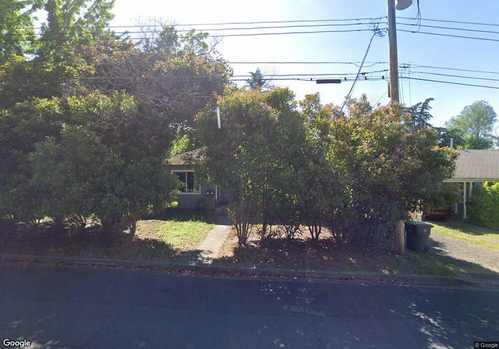
171 Wightman St Ashland, OR 97520
Central Ashland NeighborhoodEstimated Value: $411,000 - $619,000
4
Beds
3
Baths
2,460
Sq Ft
$204/Sq Ft
Est. Value
About This Home
This home is located at 171 Wightman St, Ashland, OR 97520 and is currently estimated at $502,214, approximately $204 per square foot. 171 Wightman St is a home located in Jackson County with nearby schools including Walker Elementary School, Ashland Middle School, and Ashland High School.
Ownership History
Date
Name
Owned For
Owner Type
Purchase Details
Closed on
Jun 9, 2005
Sold by
Cominos Santo and Cominos Michele
Bought by
Wightman Street Llc
Current Estimated Value
Purchase Details
Closed on
Nov 25, 1998
Sold by
Gyenes Miklos
Bought by
Cominos Santo and Cominos Michele A
Home Financials for this Owner
Home Financials are based on the most recent Mortgage that was taken out on this home.
Original Mortgage
$175,000
Interest Rate
6.84%
Mortgage Type
Seller Take Back
Create a Home Valuation Report for This Property
The Home Valuation Report is an in-depth analysis detailing your home's value as well as a comparison with similar homes in the area
Home Values in the Area
Average Home Value in this Area
Purchase History
| Date | Buyer | Sale Price | Title Company |
|---|---|---|---|
| Wightman Street Llc | -- | -- | |
| Cominos Santo | $195,000 | Amerititle |
Source: Public Records
Mortgage History
| Date | Status | Borrower | Loan Amount |
|---|---|---|---|
| Previous Owner | Cominos Santo | $175,000 |
Source: Public Records
Tax History Compared to Growth
Tax History
| Year | Tax Paid | Tax Assessment Tax Assessment Total Assessment is a certain percentage of the fair market value that is determined by local assessors to be the total taxable value of land and additions on the property. | Land | Improvement |
|---|---|---|---|---|
| 2025 | $4,562 | $294,240 | $169,390 | $124,850 |
| 2024 | $4,562 | $285,670 | $164,460 | $121,210 |
| 2023 | $4,413 | $277,350 | $159,670 | $117,680 |
| 2022 | $4,272 | $277,350 | $159,670 | $117,680 |
| 2021 | $4,126 | $269,280 | $155,030 | $114,250 |
| 2020 | $4,011 | $261,440 | $150,510 | $110,930 |
| 2019 | $3,947 | $246,440 | $141,880 | $104,560 |
| 2018 | $3,729 | $239,270 | $137,750 | $101,520 |
| 2017 | $3,702 | $239,270 | $137,750 | $101,520 |
| 2016 | $3,605 | $225,550 | $129,850 | $95,700 |
| 2015 | $3,466 | $225,550 | $129,850 | $95,700 |
| 2014 | $3,354 | $212,620 | $122,420 | $90,200 |
Source: Public Records
Map
Nearby Homes
- 1372 Iowa St
- 1245 Iowa St Unit 7
- 32 Lincoln St
- 2082 E Main St
- 303 Palm Ave
- 128 S Mountain Ave
- 0 Oregon 66 Unit 220203024
- 1040 E Main St
- 211 Normal Ave
- 1259 Hagen Way
- 753 Siskiyou Blvd
- 1123 Village Square Dr
- 811 Iowa St
- 496 Beach St
- 124 Morton St
- 770 Iowa St
- 300 Harrison St
- 704 Elkader St
- 620 Ray Ln
- 2096 Creek Dr
- 175 Wightman St
- 1360 Quincy St
- 1354 Quincy St Unit 20
- 700 !Dnp! College St
- 205 Wightman St
- 1341 Iowa St
- 1375 Iowa St
- 188 California St
- 172 California St
- 160 California St
- 204 California St
- 255 Wightman St
- 1376 Iowa St
- 1350 Iowa St
- 185 California St
- 175 California St
- 1330 Iowa St
- 1304 Quincy St
- 1330 Iowa 245 Bridge
- 260 Bridge St