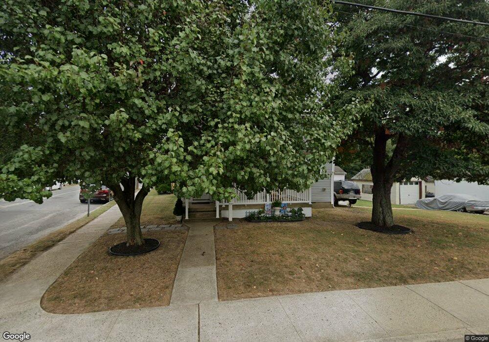
171 Wilson Ave Port Monmouth, NJ 07758
Estimated Value: $450,000 - $573,000
2
Beds
2
Baths
1,454
Sq Ft
$365/Sq Ft
Est. Value
About This Home
This home is located at 171 Wilson Ave, Port Monmouth, NJ 07758 and is currently estimated at $530,910, approximately $365 per square foot. 171 Wilson Ave is a home located in Monmouth County with nearby schools including Port Monmouth Elementary School, Thorne Middle School, and Middletown High School North.
Ownership History
Date
Name
Owned For
Owner Type
Purchase Details
Closed on
Jul 22, 2009
Sold by
Kost Michael A and Harding Leona A
Bought by
Fox Thomas John and Fox Gloria
Current Estimated Value
Home Financials for this Owner
Home Financials are based on the most recent Mortgage that was taken out on this home.
Original Mortgage
$144,000
Outstanding Balance
$94,555
Interest Rate
5.43%
Mortgage Type
Purchase Money Mortgage
Estimated Equity
$436,355
Purchase Details
Closed on
Oct 28, 1994
Sold by
Strobaugh Robert
Bought by
Kost Michael and Kost Leona
Home Financials for this Owner
Home Financials are based on the most recent Mortgage that was taken out on this home.
Original Mortgage
$89,000
Interest Rate
8.78%
Create a Home Valuation Report for This Property
The Home Valuation Report is an in-depth analysis detailing your home's value as well as a comparison with similar homes in the area
Home Values in the Area
Average Home Value in this Area
Purchase History
| Date | Buyer | Sale Price | Title Company |
|---|---|---|---|
| Fox Thomas John | $180,000 | None Available | |
| Kost Michael | $138,900 | -- |
Source: Public Records
Mortgage History
| Date | Status | Borrower | Loan Amount |
|---|---|---|---|
| Open | Fox Thomas John | $144,000 | |
| Previous Owner | Kost Michael | $89,000 |
Source: Public Records
Tax History Compared to Growth
Tax History
| Year | Tax Paid | Tax Assessment Tax Assessment Total Assessment is a certain percentage of the fair market value that is determined by local assessors to be the total taxable value of land and additions on the property. | Land | Improvement |
|---|---|---|---|---|
| 2025 | $7,134 | $514,700 | $303,800 | $210,900 |
| 2024 | $6,910 | $433,700 | $226,700 | $207,000 |
| 2023 | $6,910 | $397,600 | $211,000 | $186,600 |
| 2022 | $6,602 | $376,200 | $198,500 | $177,700 |
| 2021 | $6,602 | $317,400 | $142,600 | $174,800 |
| 2020 | $5,828 | $272,600 | $129,700 | $142,900 |
| 2019 | $5,740 | $271,800 | $129,700 | $142,100 |
| 2018 | $5,747 | $265,200 | $129,700 | $135,500 |
| 2017 | $5,713 | $261,000 | $129,700 | $131,300 |
| 2016 | $5,379 | $252,400 | $129,700 | $122,700 |
| 2015 | $5,566 | $252,200 | $129,700 | $122,500 |
| 2014 | $5,467 | $241,600 | $129,700 | $111,900 |
Source: Public Records
Map
Nearby Homes
- 617 Carter Ave
- 35 Willow St
- 19 Walada Ave
- 9 Brentwood Terrace
- 230 Main St
- 147 Church St
- 2 Lydia Place
- 78 Wilson Ave
- 251 Main St Unit AH
- 309 Church St
- 79 Compton St Unit A & B
- 92 Compton St
- 62 Brainard Ave
- 35 Montana Ave
- 635 Hudson Ave
- 22 Mills Ave
- 0 S End Ave Unit 22420779
- 0 Clinton St Unit 22238196
- 0 Bray Ave Unit 22420777
- 22 Mercer Ave
- 710 Campbell Ave
- 175 Wilson Ave
- 706 Campbell Ave
- 720 Campbell Ave
- 169 Wilson Ave
- 181 Wilson Ave
- 702 Campbell Ave
- 724 Campbell Ave
- 170 Wilson Ave
- 705 Campbell Ave
- 167 Wilson Ave
- 183 Wilson Ave
- 698 Campbell Ave
- 168 Wilson Ave
- 701 Campbell Ave
- 165 Wilson Ave
- 728 Campbell Ave
- 186 Wilson Ave
- 615 Carter Ave
- 723 Campbell Ave