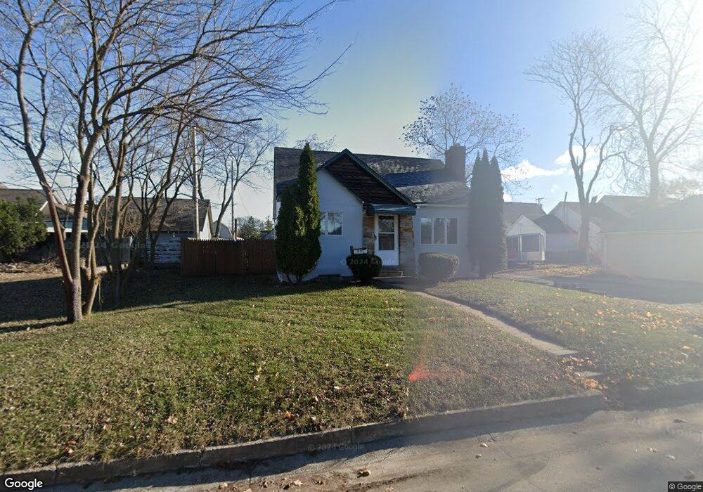
1710 25th St Port Huron, MI 48060
Estimated Value: $123,000 - $151,842
2
Beds
1
Bath
1,040
Sq Ft
$129/Sq Ft
Est. Value
About This Home
This home is located at 1710 25th St, Port Huron, MI 48060 and is currently estimated at $134,211, approximately $129 per square foot. 1710 25th St is a home located in St. Clair County with nearby schools including Michigamme Elementary School, Central Middle School, and Port Huron High School.
Ownership History
Date
Name
Owned For
Owner Type
Purchase Details
Closed on
Feb 28, 2007
Sold by
Hazlewood Paul F and Hazlewood Kim A
Bought by
Hurren Helen M
Current Estimated Value
Home Financials for this Owner
Home Financials are based on the most recent Mortgage that was taken out on this home.
Original Mortgage
$69,750
Outstanding Balance
$42,242
Interest Rate
6.27%
Mortgage Type
New Conventional
Estimated Equity
$91,969
Create a Home Valuation Report for This Property
The Home Valuation Report is an in-depth analysis detailing your home's value as well as a comparison with similar homes in the area
Home Values in the Area
Average Home Value in this Area
Purchase History
| Date | Buyer | Sale Price | Title Company |
|---|---|---|---|
| Hurren Helen M | $52,500 | None Available |
Source: Public Records
Mortgage History
| Date | Status | Borrower | Loan Amount |
|---|---|---|---|
| Open | Hurren Helen M | $69,750 |
Source: Public Records
Tax History Compared to Growth
Tax History
| Year | Tax Paid | Tax Assessment Tax Assessment Total Assessment is a certain percentage of the fair market value that is determined by local assessors to be the total taxable value of land and additions on the property. | Land | Improvement |
|---|---|---|---|---|
| 2025 | $1,392 | $66,500 | $0 | $0 |
| 2024 | $732 | $65,700 | $0 | $0 |
| 2023 | $676 | $50,300 | $0 | $0 |
| 2022 | $1,249 | $40,000 | $0 | $0 |
| 2021 | $1,196 | $34,700 | $0 | $0 |
| 2020 | $1,196 | $38,700 | $38,700 | $0 |
| 2019 | $1,173 | $37,800 | $0 | $0 |
| 2018 | $1,146 | $37,800 | $0 | $0 |
| 2017 | $1,231 | $36,700 | $0 | $0 |
| 2016 | $638 | $36,700 | $0 | $0 |
| 2015 | -- | $36,500 | $36,500 | $0 |
| 2014 | -- | $35,900 | $35,900 | $0 |
| 2013 | -- | $35,500 | $0 | $0 |
Source: Public Records
Map
Nearby Homes
- V/L 25th St
- 2422 Oak St
- 2417 Division St
- 2415 Division St
- 2418 Oak St
- 2411 Division St
- 2505 Division St
- 2501 Division St
- 0 25th St Unit 218088173
- 0 25th St Unit 218014051
- 0 25th St Unit 4920990
- 0 25th St Unit 4623885
- 0 25th St Unit 31182069
- 0 25th St Unit 20230023487
- 0 25th St Unit R213004030
- 0 25th St Unit G31177750
- 0 25th St Unit R214012361
- 0 25th St Unit R214007254
- 0 25th St Unit R217102959
- 0 25th St Unit R219028975