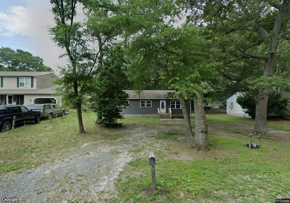
1710 Dale Ln Salisbury, MD 21801
North Salisbury NeighborhoodEstimated Value: $169,342 - $206,000
--
Bed
1
Bath
1,056
Sq Ft
$181/Sq Ft
Est. Value
About This Home
This home is located at 1710 Dale Ln, Salisbury, MD 21801 and is currently estimated at $190,836, approximately $180 per square foot. 1710 Dale Ln is a home located in Wicomico County with nearby schools including West Salisbury Elementary School, North Salisbury Elementary School, and Salisbury Middle School.
Ownership History
Date
Name
Owned For
Owner Type
Purchase Details
Closed on
Jan 26, 2022
Sold by
Williams Brenda E
Bought by
Williams Samuel Joseph
Current Estimated Value
Purchase Details
Closed on
May 9, 1980
Sold by
Morris Millwork Co Inc.
Bought by
Williams Brenda E
Home Financials for this Owner
Home Financials are based on the most recent Mortgage that was taken out on this home.
Original Mortgage
$35,000
Interest Rate
14.68%
Create a Home Valuation Report for This Property
The Home Valuation Report is an in-depth analysis detailing your home's value as well as a comparison with similar homes in the area
Home Values in the Area
Average Home Value in this Area
Purchase History
| Date | Buyer | Sale Price | Title Company |
|---|---|---|---|
| Williams Samuel Joseph | -- | None Listed On Document | |
| Williams Brenda E | $34,900 | -- |
Source: Public Records
Mortgage History
| Date | Status | Borrower | Loan Amount |
|---|---|---|---|
| Previous Owner | Williams Brenda E | $35,000 |
Source: Public Records
Tax History Compared to Growth
Tax History
| Year | Tax Paid | Tax Assessment Tax Assessment Total Assessment is a certain percentage of the fair market value that is determined by local assessors to be the total taxable value of land and additions on the property. | Land | Improvement |
|---|---|---|---|---|
| 2025 | $1,146 | $129,733 | $0 | $0 |
| 2024 | $1,146 | $109,967 | $0 | $0 |
| 2023 | $984 | $90,200 | $15,100 | $75,100 |
| 2022 | $909 | $80,200 | $0 | $0 |
| 2021 | $727 | $70,200 | $0 | $0 |
| 2020 | $713 | $60,200 | $15,100 | $45,100 |
| 2019 | $630 | $60,200 | $15,100 | $45,100 |
| 2018 | $807 | $60,200 | $15,100 | $45,100 |
| 2017 | $807 | $71,000 | $0 | $0 |
| 2016 | -- | $70,267 | $0 | $0 |
| 2015 | $856 | $69,533 | $0 | $0 |
| 2014 | $856 | $68,800 | $0 | $0 |
Source: Public Records
Map
Nearby Homes
- 414 Sarah Ln
- 1710 Wilson Ln Unit 1
- 1606 Towson Ave
- 516 Purnell St
- 667 Cook Dr
- 1505 Jersey Rd
- 1621 Waconia Dr
- 650 Suffolk Ct
- 504 Swan Rd
- 2130 Windsor Dr
- 1618 West Rd
- 1707 West Rd
- 29015 Adventist Dr
- 29007 Adventist Dr
- 1712 Severn St
- JEFFERSON Plan at Sassafras Meadows
- 0 Queen Ave Unit MDWC2006982
- 7877 Bennett Park Dr
- 1817 Ocean Shore Ln
- 830 Mersey Ln