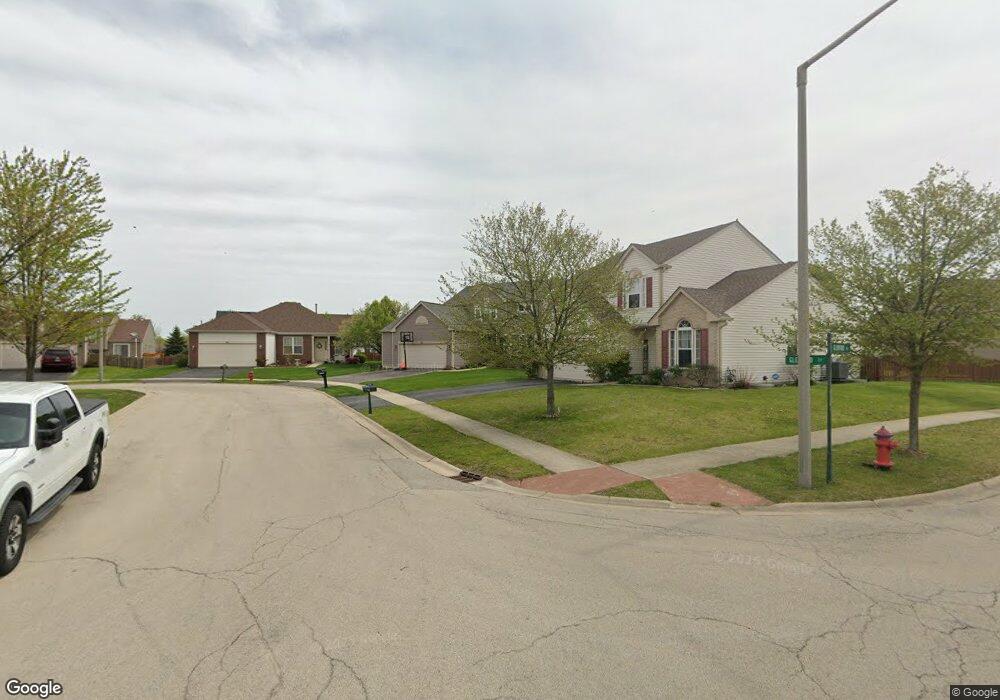
1710 Glenford Ct Unit 2 Plainfield, IL 60586
North Minooka NeighborhoodEstimated Value: $421,000 - $439,000
4
Beds
3
Baths
2,349
Sq Ft
$182/Sq Ft
Est. Value
About This Home
This home is located at 1710 Glenford Ct Unit 2, Plainfield, IL 60586 and is currently estimated at $428,521, approximately $182 per square foot. 1710 Glenford Ct Unit 2 is a home located in Kendall County with nearby schools including Charles Reed Elementary School, Aux Sable Middle School, and Plainfield South High School.
Ownership History
Date
Name
Owned For
Owner Type
Purchase Details
Closed on
Jul 29, 2011
Sold by
Miller Kathleen E and Miller Deb L
Bought by
Folliard Christopher and Folliard Christine
Current Estimated Value
Home Financials for this Owner
Home Financials are based on the most recent Mortgage that was taken out on this home.
Original Mortgage
$209,549
Outstanding Balance
$142,906
Interest Rate
4.25%
Mortgage Type
FHA
Estimated Equity
$285,615
Purchase Details
Closed on
Feb 28, 2005
Sold by
Neumann Homes Inc
Bought by
Miller Deb L and Miller Kathleen E
Home Financials for this Owner
Home Financials are based on the most recent Mortgage that was taken out on this home.
Original Mortgage
$198,231
Interest Rate
5.61%
Mortgage Type
Fannie Mae Freddie Mac
Create a Home Valuation Report for This Property
The Home Valuation Report is an in-depth analysis detailing your home's value as well as a comparison with similar homes in the area
Home Values in the Area
Average Home Value in this Area
Purchase History
| Date | Buyer | Sale Price | Title Company |
|---|---|---|---|
| Folliard Christopher | $215,000 | First American Title Ins Co | |
| Miller Deb L | $258,000 | Chicago Title Insurance Co |
Source: Public Records
Mortgage History
| Date | Status | Borrower | Loan Amount |
|---|---|---|---|
| Open | Folliard Christopher | $209,549 | |
| Previous Owner | Miller Deb L | $198,231 |
Source: Public Records
Tax History Compared to Growth
Tax History
| Year | Tax Paid | Tax Assessment Tax Assessment Total Assessment is a certain percentage of the fair market value that is determined by local assessors to be the total taxable value of land and additions on the property. | Land | Improvement |
|---|---|---|---|---|
| 2024 | $8,395 | $122,099 | $15,449 | $106,650 |
| 2023 | $7,012 | $110,849 | $13,434 | $97,415 |
| 2022 | $7,012 | $94,046 | $13,133 | $80,913 |
| 2021 | $6,527 | $86,194 | $13,111 | $73,083 |
| 2020 | $6,473 | $84,049 | $13,027 | $71,022 |
| 2019 | $6,229 | $79,840 | $13,027 | $66,813 |
| 2018 | $5,761 | $73,159 | $13,027 | $60,132 |
| 2017 | $5,700 | $69,241 | $13,027 | $56,214 |
| 2016 | $5,439 | $64,905 | $12,866 | $52,039 |
| 2015 | $5,566 | $63,317 | $12,210 | $51,107 |
| 2014 | -- | $61,248 | $12,210 | $49,038 |
| 2013 | -- | $61,248 | $12,210 | $49,038 |
Source: Public Records
Map
Nearby Homes
- 7311 Fordham Ln
- 7207 Yorkshire St
- 1713 Burshire Dr
- 2002 Havenhill Dr
- 1918 Crosswind Dr
- 7514 Blueblossom Ln
- 7512 Blueblossom Ln
- Townsend Plan at Lakewood Prairie - Single Family
- Meadowlark Plan at Lakewood Prairie - Single Family
- Wren Plan at Lakewood Prairie - Single Family
- Siena II Plan at Lakewood Prairie - Single Family
- Starling Plan at Lakewood Prairie - Single Family
- 7501 Blueblossom Ln
- 7504 Currant Dr
- 7511 Currant Dr
- 7512 Currant Dr
- 7506 Currant Dr
- 7513 Currant Dr
- 7503 Currant Dr
- 7502 Currant Dr
- 1708 Glenford Ct
- 1712 Glenford Ct
- 1706 Glenford Dr
- 1711 Kenicott Ln
- 1709 Kenicott Ln
- 1713 Kenicott Ln
- 1707 Kenicott Ln
- 1715 Kenicott Ln
- 1714 Glenford Ct Unit 2
- 1704 Glenford Dr Unit 2
- 1717 Kenicott Ln
- 1705 Kenicott Ln
- 1716 Glenford Ct Unit 2
- 1719 Kenicott Ln
- 1707 Glenford Dr
- 1705 Glenford Dr
- 1702 Glenford Dr
- 1718 Glenford Ct Unit 2
- 1709 Glenford Dr Unit 2
- 1703 Kenicott Ln