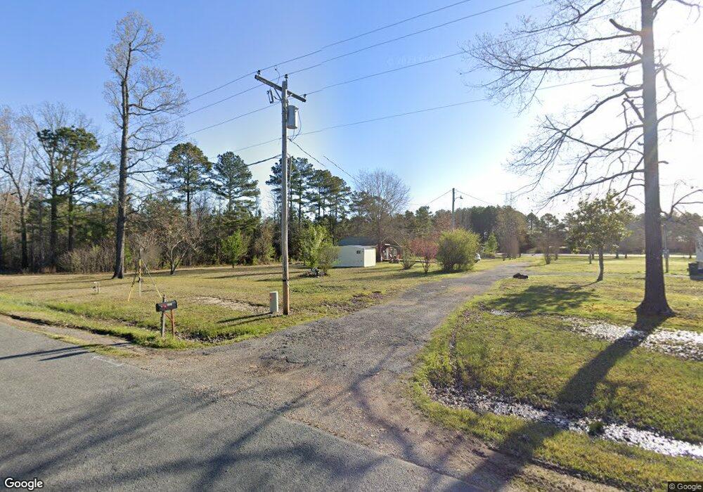
1710 Grant 53 Sheridan, AR 72150
Estimated Value: $217,619 - $293,000
--
Bed
2
Baths
1,767
Sq Ft
$145/Sq Ft
Est. Value
About This Home
This home is located at 1710 Grant 53, Sheridan, AR 72150 and is currently estimated at $256,540, approximately $145 per square foot. 1710 Grant 53 is a home located in Grant County with nearby schools including Sheridan High School.
Ownership History
Date
Name
Owned For
Owner Type
Purchase Details
Closed on
Jul 24, 2014
Bought by
Stockton Justin and Stockton Stacy
Current Estimated Value
Purchase Details
Closed on
Jul 7, 2014
Bought by
Heartland Bank
Purchase Details
Closed on
Jul 19, 2007
Sold by
Reed Perry L and Reed Scotty M
Bought by
Reed Perry L and Reed Scott M
Purchase Details
Closed on
Aug 10, 2001
Bought by
Hwy Dept
Purchase Details
Closed on
May 20, 1999
Bought by
Reed Scotty Perry
Create a Home Valuation Report for This Property
The Home Valuation Report is an in-depth analysis detailing your home's value as well as a comparison with similar homes in the area
Home Values in the Area
Average Home Value in this Area
Purchase History
| Date | Buyer | Sale Price | Title Company |
|---|---|---|---|
| Stockton Justin | $25,000 | -- | |
| Heartland Bank | -- | -- | |
| Reed Perry L | -- | Stewart Title Of Arkansas | |
| Hwy Dept | -- | -- | |
| Reed Scotty Perry | $17,000 | -- |
Source: Public Records
Tax History Compared to Growth
Tax History
| Year | Tax Paid | Tax Assessment Tax Assessment Total Assessment is a certain percentage of the fair market value that is determined by local assessors to be the total taxable value of land and additions on the property. | Land | Improvement |
|---|---|---|---|---|
| 2024 | $1,095 | $33,020 | $4,500 | $28,520 |
| 2023 | $1,245 | $33,020 | $4,500 | $28,520 |
| 2022 | $1,161 | $33,020 | $4,500 | $28,520 |
| 2021 | $1,077 | $33,020 | $4,500 | $28,520 |
| 2020 | $992 | $18,720 | $4,150 | $14,570 |
| 2019 | $992 | $18,720 | $4,150 | $14,570 |
| 2018 | $992 | $18,720 | $4,150 | $14,570 |
| 2017 | $917 | $18,720 | $4,150 | $14,570 |
| 2015 | -- | $15,950 | $4,150 | $11,800 |
| 2014 | -- | $15,950 | $4,150 | $11,800 |
| 2012 | -- | $15,950 | $4,150 | $11,800 |
Source: Public Records
Map
Nearby Homes
- 1705 Grant 53
- 234 Mackenzie Dr
- 476 Delta Cir
- 1135 Delta Cir
- LOT #2 Grant 55
- LOT #3 Grant 55
- LOT #5 Grant 55
- LOT #4 Grant 55
- LOT #1 Grant 55
- 252 Spring Rd
- 365 Alex Loop
- 9029 E Fairview Rd
- 5300 Pleasant Lake Dr
- 8543 E Fairview Rd
- LOT 18 Grant 58
- LOT 17 Grant 58
- LOT 16 Grant 58
- LOT 15 Grant 58
- LOT 14 Grant 58
- LOT 13 Grant 58
- 11597 Highway 167 N
- 11660 Hwy 167 N
- 11825 Highway 167 N
- 11540 Highway 167 N
- 453 Grant 580
- 1893 Grant 53
- 1867 Grant 53
- 423 Grant 580
- 424 Grant 580
- 440 Grant 580
- 1417 Grant 53
- 1965 Grant 53
- 1409 Grant 53
- 1415 Grant 53
- 1423 Grant 53
- 1413 Grant 53
- 11351 Highway 167 N
- 600 Grant 580
- 1401 Grant 53
- 616 Grant 580
