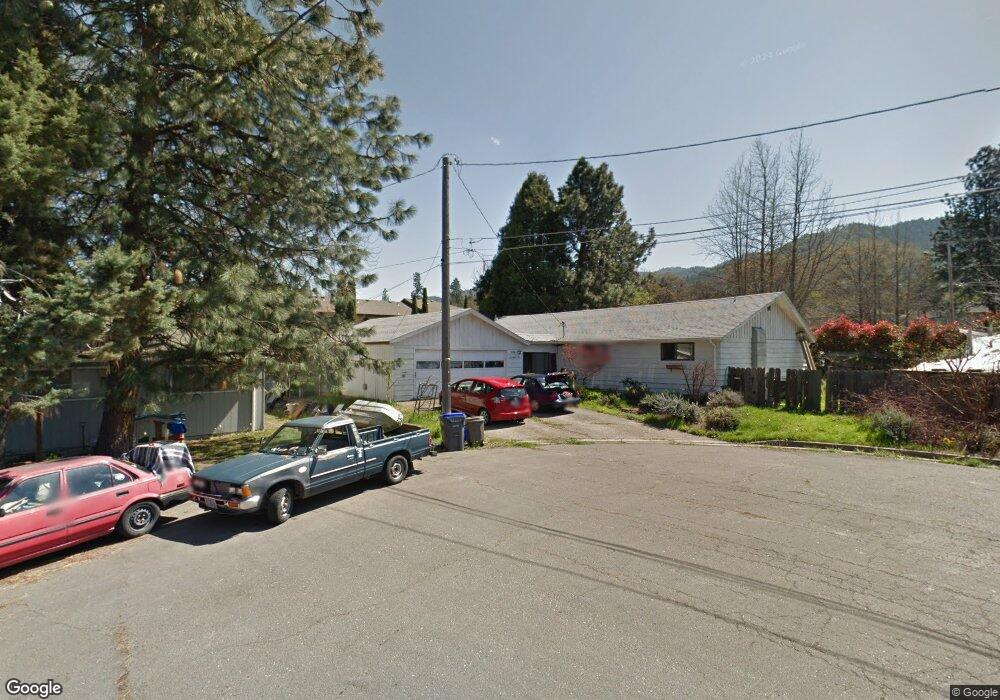
1710 Harmony Cir Ashland, OR 97520
South Ashland NeighborhoodEstimated Value: $467,000 - $487,137
3
Beds
2
Baths
1,568
Sq Ft
$305/Sq Ft
Est. Value
About This Home
This home is located at 1710 Harmony Cir, Ashland, OR 97520 and is currently estimated at $478,284, approximately $305 per square foot. 1710 Harmony Cir is a home located in Jackson County with nearby schools including Walker Elementary School, Ashland Middle School, and Ashland High School.
Ownership History
Date
Name
Owned For
Owner Type
Purchase Details
Closed on
Apr 24, 2020
Sold by
Foyil David Wayne
Bought by
Martin Monica Jean
Current Estimated Value
Home Financials for this Owner
Home Financials are based on the most recent Mortgage that was taken out on this home.
Original Mortgage
$117,000
Outstanding Balance
$104,036
Interest Rate
3.6%
Mortgage Type
New Conventional
Estimated Equity
$374,248
Purchase Details
Closed on
Apr 24, 2002
Sold by
Daniels William R and Daniels Patricia J
Bought by
Martin Monica
Home Financials for this Owner
Home Financials are based on the most recent Mortgage that was taken out on this home.
Original Mortgage
$155,250
Interest Rate
7.08%
Create a Home Valuation Report for This Property
The Home Valuation Report is an in-depth analysis detailing your home's value as well as a comparison with similar homes in the area
Home Values in the Area
Average Home Value in this Area
Purchase History
| Date | Buyer | Sale Price | Title Company |
|---|---|---|---|
| Martin Monica Jean | -- | Ticor Title | |
| Martin Monica | $172,500 | Jackson County Title |
Source: Public Records
Mortgage History
| Date | Status | Borrower | Loan Amount |
|---|---|---|---|
| Open | Martin Monica Jean | $117,000 | |
| Previous Owner | Martin Monica | $155,250 |
Source: Public Records
Tax History Compared to Growth
Tax History
| Year | Tax Paid | Tax Assessment Tax Assessment Total Assessment is a certain percentage of the fair market value that is determined by local assessors to be the total taxable value of land and additions on the property. | Land | Improvement |
|---|---|---|---|---|
| 2025 | $4,492 | $289,730 | $145,810 | $143,920 |
| 2024 | $4,492 | $281,300 | $141,560 | $139,740 |
| 2023 | $4,346 | $273,110 | $137,440 | $135,670 |
| 2022 | $4,206 | $273,110 | $137,440 | $135,670 |
| 2021 | $4,063 | $265,160 | $133,440 | $131,720 |
| 2020 | $3,949 | $257,440 | $129,560 | $127,880 |
| 2019 | $3,887 | $242,670 | $122,130 | $120,540 |
| 2018 | $3,672 | $235,610 | $118,580 | $117,030 |
| 2017 | $3,645 | $235,610 | $118,580 | $117,030 |
| 2016 | $3,550 | $222,090 | $111,780 | $110,310 |
| 2015 | $3,413 | $222,090 | $111,780 | $110,310 |
| 2014 | $3,302 | $209,350 | $105,370 | $103,980 |
Source: Public Records
Map
Nearby Homes
- 701 Normal Ave
- 740 Park St
- 750 Park St
- 794 Park St Unit 794
- 802 Park St Unit 802
- 901 Hillview Dr
- 2023 Siskiyou Blvd
- 700 Clay St
- 0 Oregon 66 Unit 220203024
- 1015 Oneida Cir
- 2130 Siskiyou Blvd
- 1059 Terra Ave
- 906 Mary Jane Ave
- 876 - 878 Clay St
- 1012 Pinecrest Terrace
- 1094 Linda Ave
- 950 Penny Dr
- 874 Blackberry Ln
- 1768 Crestview Dr
- 2249 Siskiyou Blvd
- 1733 Siskiyou Blvd Unit 2
- 1735 Siskiyou Blvd Unit 3
- 1731 Siskiyou Blvd
- 1737 Siskiyou Blvd Unit 4
- 1705 Harmony Cir
- 1739 Siskiyou Blvd Unit 5
- 690 Harmony Ln
- 1713 Siskiyou Blvd
- 1741 Siskiyou Blvd
- 1743 Siskiyou Blvd
- 1745 Siskiyou Blvd
- 1747 Siskiyou Blvd
- 1729 Siskiyou Blvd
- 1691 Harmony Cir
- 1701 Siskiyou Blvd
- 667 Normal Ave
- 681 Normal Ave
- 1749 Siskiyou Blvd
- 679 Lit Way
- 651 Lit Way