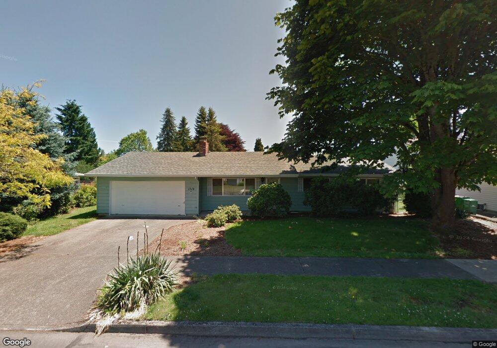
1710 Limpus Ln Forest Grove, OR 97116
Estimated Value: $386,000 - $526,000
3
Beds
2
Baths
1,328
Sq Ft
$344/Sq Ft
Est. Value
About This Home
This home is located at 1710 Limpus Ln, Forest Grove, OR 97116 and is currently estimated at $457,299, approximately $344 per square foot. 1710 Limpus Ln is a home located in Washington County with nearby schools including Harvey Clarke Elementary School, Tom McCall Upper Elementary School, and Neil Armstrong Middle School.
Ownership History
Date
Name
Owned For
Owner Type
Purchase Details
Closed on
Mar 5, 2012
Sold by
Edwards Karlen
Bought by
Edwards Patrick J and Edwards Judy A
Current Estimated Value
Purchase Details
Closed on
Apr 11, 2001
Sold by
Edwards Karlen
Bought by
Edwards Karlen
Purchase Details
Closed on
Nov 13, 1998
Sold by
Paterson Margaret H
Bought by
Paterson Margaret H and Edwards Karlen Joan
Purchase Details
Closed on
Jul 22, 1998
Sold by
Paterson Margaret H
Bought by
Hering Mark James
Purchase Details
Closed on
Sep 12, 1996
Sold by
Paterson Margaret H
Bought by
Paterson Margaret H and Margaret H Paterson Revocable Living Tr
Create a Home Valuation Report for This Property
The Home Valuation Report is an in-depth analysis detailing your home's value as well as a comparison with similar homes in the area
Home Values in the Area
Average Home Value in this Area
Purchase History
| Date | Buyer | Sale Price | Title Company |
|---|---|---|---|
| Edwards Patrick J | $100,000 | None Available | |
| Edwards Karlen | -- | -- | |
| Paterson Margaret H | -- | Fidelity National Title | |
| Hering Mark James | -- | -- | |
| Paterson Margaret H | -- | -- |
Source: Public Records
Tax History Compared to Growth
Tax History
| Year | Tax Paid | Tax Assessment Tax Assessment Total Assessment is a certain percentage of the fair market value that is determined by local assessors to be the total taxable value of land and additions on the property. | Land | Improvement |
|---|---|---|---|---|
| 2026 | $3,800 | $213,390 | -- | -- |
| 2025 | $3,800 | $207,180 | -- | -- |
| 2024 | $3,666 | $201,150 | -- | -- |
| 2023 | $3,666 | $195,300 | $0 | $0 |
| 2022 | $3,206 | $195,300 | $0 | $0 |
| 2021 | $3,164 | $184,100 | $0 | $0 |
| 2020 | $3,147 | $178,740 | $0 | $0 |
| 2019 | $3,077 | $173,540 | $0 | $0 |
| 2018 | $2,983 | $168,490 | $0 | $0 |
| 2017 | $2,891 | $163,590 | $0 | $0 |
| 2016 | $2,809 | $158,830 | $0 | $0 |
| 2015 | $2,701 | $154,210 | $0 | $0 |
| 2014 | $2,688 | $149,720 | $0 | $0 |
Source: Public Records
Map
Nearby Homes
- 1425 Willamina Ave
- 1611 Camino Dr
- 1609 Camino Dr
- 2327 Turnbull Ct
- 2341 Turnbull Ct
- 1315 Begonia Ave
- 1224 Alyssum Ave
- 2106 Charlie Ct
- 1718 23rd Ave
- 1104 Magnolia Way
- 3300 N Main St Unit 110
- 1222 Brookside Ave
- 2251 27th Ave
- 904 Rosebud Ct
- Alder Plan at Parkview Terrace - Single-Family Homes
- Mattingly Plan at Parkview Terrace - Single-Family Homes
- Arleta Plan at Parkview Terrace - Paired Villas
- Moreland Plan at Parkview Terrace - Paired Villas
- Eason Plan at Parkview Terrace - Single-Family Homes
- Marivue Plan at Parkview Terrace - Paired Villas