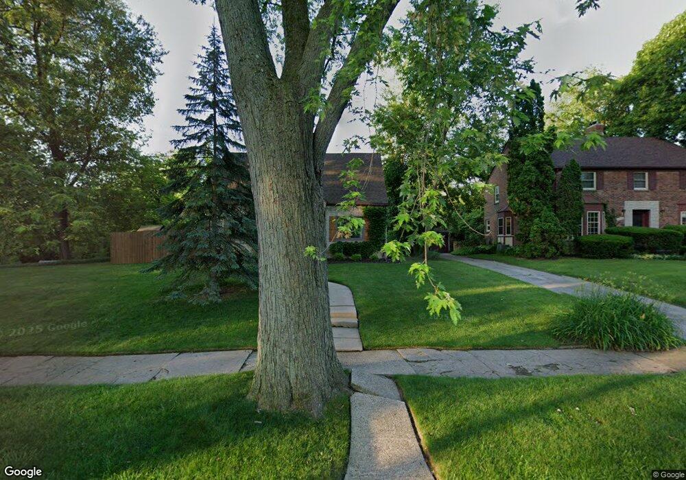
1710 Linwood Ave Flint, MI 48503
College Cultural Neighborhood NeighborhoodEstimated Value: $148,508 - $200,000
2
Beds
2
Baths
1,191
Sq Ft
$143/Sq Ft
Est. Value
About This Home
This home is located at 1710 Linwood Ave, Flint, MI 48503 and is currently estimated at $170,877, approximately $143 per square foot. 1710 Linwood Ave is a home located in Genesee County with nearby schools including Pierce Elementary School, Flint Southwestern Classical Academy, and Flint Cultural Center Academy.
Ownership History
Date
Name
Owned For
Owner Type
Purchase Details
Closed on
Feb 27, 2017
Sold by
Peterson Polly
Bought by
Knapp Ian J and Knapp Mckenna R
Current Estimated Value
Home Financials for this Owner
Home Financials are based on the most recent Mortgage that was taken out on this home.
Original Mortgage
$78,551
Outstanding Balance
$64,799
Interest Rate
4.07%
Mortgage Type
FHA
Estimated Equity
$106,078
Purchase Details
Closed on
Aug 24, 2016
Sold by
Arvoy Joellen L
Bought by
Peterson Polly
Purchase Details
Closed on
Jun 13, 2001
Sold by
Laforge John L and Laforge Patricia M
Bought by
Hutchison Peter M and Hutchison Gail D
Purchase Details
Closed on
May 24, 2001
Sold by
Hutchison Peter and Hutchison Gail
Bought by
Arvoy Joellen L
Create a Home Valuation Report for This Property
The Home Valuation Report is an in-depth analysis detailing your home's value as well as a comparison with similar homes in the area
Home Values in the Area
Average Home Value in this Area
Purchase History
| Date | Buyer | Sale Price | Title Company |
|---|---|---|---|
| Knapp Ian J | $80,000 | None Available | |
| Peterson Polly | $37,962 | None Available | |
| Hutchison Peter M | $129,000 | First American Title | |
| Arvoy Joellen L | $113,000 | Guaranty Title Company |
Source: Public Records
Mortgage History
| Date | Status | Borrower | Loan Amount |
|---|---|---|---|
| Open | Knapp Ian J | $78,551 |
Source: Public Records
Tax History Compared to Growth
Tax History
| Year | Tax Paid | Tax Assessment Tax Assessment Total Assessment is a certain percentage of the fair market value that is determined by local assessors to be the total taxable value of land and additions on the property. | Land | Improvement |
|---|---|---|---|---|
| 2025 | $2,217 | $67,700 | $0 | $0 |
| 2024 | $1,966 | $63,600 | $0 | $0 |
| 2023 | $1,906 | $54,000 | $0 | $0 |
| 2022 | $0 | $45,100 | $0 | $0 |
| 2021 | $2,010 | $41,200 | $0 | $0 |
| 2020 | $1,770 | $40,000 | $0 | $0 |
| 2019 | $1,697 | $34,700 | $0 | $0 |
| 2018 | $1,791 | $30,400 | $0 | $0 |
| 2017 | $1,107 | $0 | $0 | $0 |
| 2016 | $1,099 | $0 | $0 | $0 |
| 2015 | -- | $0 | $0 | $0 |
| 2014 | -- | $0 | $0 | $0 |
| 2012 | -- | $23,500 | $0 | $0 |
Source: Public Records
Map
Nearby Homes
- 1510 S Franklin Ave
- 930 Belmont Ave
- 1018 Lafayette St
- 2122 Pierce St
- 2313 Brookside Dr
- 2013 E Court St
- 911 E 7th St
- 841 E 8th St
- 2319 Calumet St
- 1623 Montclair Ave
- 1601 Wayne St
- 2202 Windemere Ave
- 1110 Pingree Ave
- 2208 Windemere Ave
- 2131 Windemere Ave
- 2010 Crocker Ave
- 915 E Court St Unit 104
- 915 E Court St
- 2029 Aitken Ave
- 1840 Mcphail St
- 1702 Linwood Ave
- 1701 Linwood Ave
- 1707 Linwood Ave
- 1618 Linwood Ave
- 1617 Brookwood Ave
- 1222 Kensington Ave
- 1514 Kensington Ave
- 1786 Brookside Dr
- 1218 Kensington Ave
- 1613 Linwood Ave
- 1616 Linwood Ave
- 1317 Blanchard Ave
- 1609 Brookwood Ave
- 1617 Linwood Ave
- 1609 Linwood Ave
- 1214 Kensington Ave
- 1318 Blanchard Ave
- 1780 Brookside Dr
- 1309 Blanchard Ave
- 1210 Kensington Ave