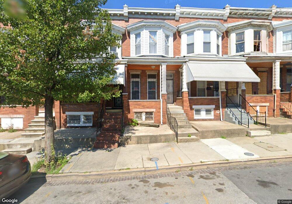
1710 Moreland Ave Baltimore, MD 21216
Coppin Heights NeighborhoodEstimated Value: $69,000 - $109,457
--
Bed
--
Bath
--
Sq Ft
1,133
Sq Ft Lot
About This Home
This home is located at 1710 Moreland Ave, Baltimore, MD 21216 and is currently estimated at $89,229. 1710 Moreland Ave is a home located in Baltimore City with nearby schools including Matthew A. Henson Elementary School, Booker T. Washington Middle School, and Frederick Douglass High School.
Ownership History
Date
Name
Owned For
Owner Type
Purchase Details
Closed on
Nov 1, 2006
Sold by
Curry Eddie H
Bought by
Curry Eddie H
Current Estimated Value
Purchase Details
Closed on
Sep 13, 2006
Sold by
Curry Eddie H
Bought by
Curry Eddie H
Purchase Details
Closed on
Oct 11, 2005
Sold by
Willis Donald J
Bought by
Curry Eddie H
Purchase Details
Closed on
Jul 14, 2005
Sold by
Willis Donald J
Bought by
Curry Eddie H
Create a Home Valuation Report for This Property
The Home Valuation Report is an in-depth analysis detailing your home's value as well as a comparison with similar homes in the area
Home Values in the Area
Average Home Value in this Area
Purchase History
| Date | Buyer | Sale Price | Title Company |
|---|---|---|---|
| Curry Eddie H | $12,000 | -- | |
| Curry Eddie H | $12,000 | -- | |
| Curry Eddie H | -- | -- | |
| Willis Donald J | $44,000 | -- | |
| Curry Eddie H | -- | -- | |
| Willis Donald J | $44,000 | -- |
Source: Public Records
Tax History Compared to Growth
Tax History
| Year | Tax Paid | Tax Assessment Tax Assessment Total Assessment is a certain percentage of the fair market value that is determined by local assessors to be the total taxable value of land and additions on the property. | Land | Improvement |
|---|---|---|---|---|
| 2025 | $1,113 | $50,100 | $12,000 | $38,100 |
| 2024 | $1,113 | $47,400 | $0 | $0 |
| 2023 | $1,050 | $44,700 | $0 | $0 |
| 2022 | $991 | $42,000 | $9,000 | $33,000 |
| 2021 | $928 | $39,333 | $0 | $0 |
| 2020 | $865 | $36,667 | $0 | $0 |
| 2019 | $799 | $34,000 | $7,000 | $27,000 |
| 2018 | $700 | $29,667 | $0 | $0 |
| 2017 | $598 | $25,333 | $0 | $0 |
| 2016 | $711 | $21,000 | $0 | $0 |
| 2015 | $711 | $21,000 | $0 | $0 |
| 2014 | $711 | $21,000 | $0 | $0 |
Source: Public Records
Map
Nearby Homes
- 1632 & 1634 Moreland Ave
- 1630 Moreland Ave
- 1619 Moreland Ave
- 1803 N Warwick Ave
- 1613 N Warwick Ave
- 1815 N Warwick Ave
- 1706 N Bentalou St
- 1722 N Bentalou St
- 2425 W North Ave
- 1642 N Bentalou St
- 1607 Ruxton Ave
- 1731 N Bentalou St
- 1813 N Bentalou St
- 2200 Westwood Ave
- 1702 N Smallwood St
- 1726 N Smallwood St
- 1606 N Smallwood St
- 1604 N Smallwood St
- 1918 N Bentalou St
- 1920 N Bentalou St
- 1708 Moreland Ave
- 1712 Moreland Ave
- 1714 Moreland Ave
- 1704 Moreland Ave
- 1716 Moreland Ave
- 1702 Moreland Ave
- 1728 Moreland Ave
- 2400 Presbury St
- 1730 Moreland Ave
- 1732 Moreland Ave
- 2404 Presbury St
- 1734 Moreland Ave
- 2406 Presbury St
- 1736 Moreland Ave
- 2408 Presbury St
- 2410 Presbury St
- 1711 Moreland Ave
- 1709 Moreland Ave
- 1652 Moreland Ave
- 1713 Moreland Ave