Estimated Value: $630,000 - $872,000
Studio
--
Bath
2,771
Sq Ft
$270/Sq Ft
Est. Value
About This Home
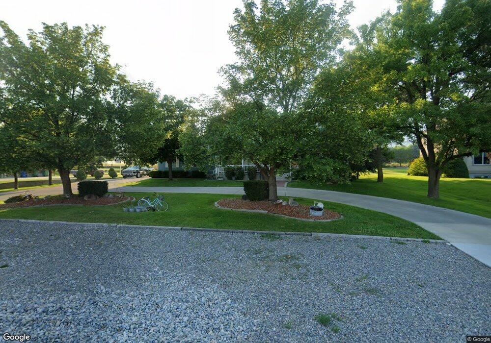
This home is located at 1710 N 1000 E, Logan, UT 84341 and is currently estimated at $748,907, approximately $270 per square foot. 1710 N 1000 E is a home with nearby schools including Greenville School, Cedar Ridge School, and North Cache Middle School.
Ownership History
Date
Name
Owned For
Owner Type
Purchase Details
Closed on
Aug 17, 2020
Sold by
Avery Ann S and Ann S Avery Family Living Trus
Bought by
Avery Aaron Stewart and Avery Jaymee
Current Estimated Value
Home Financials for this Owner
Home Financials are based on the most recent Mortgage that was taken out on this home.
Original Mortgage
$310,000
Interest Rate
3%
Mortgage Type
Seller Take Back
Purchase Details
Closed on
Nov 12, 2008
Sold by
Avery Delwin B and Avery Ann S
Bought by
Avery Ann S
Home Financials for this Owner
Home Financials are based on the most recent Mortgage that was taken out on this home.
Original Mortgage
$105,000
Interest Rate
6.07%
Mortgage Type
New Conventional
Create a Home Valuation Report for This Property
The Home Valuation Report is an in-depth analysis detailing your home's value as well as a comparison with similar homes in the area
Home Values in the Area
Average Home Value in this Area
Purchase History
| Date | Buyer | Sale Price | Title Company |
|---|---|---|---|
| Avery Aaron Stewart | -- | Hickman Land Title Logan | |
| Avery Ann S | -- | Cache Title Company | |
| Avery Delwin B | -- | Cache Title Company |
Source: Public Records
Mortgage History
| Date | Status | Borrower | Loan Amount |
|---|---|---|---|
| Closed | Avery Aaron Stewart | $310,000 | |
| Closed | Avery Delwin B | $105,000 |
Source: Public Records
Tax History
| Year | Tax Paid | Tax Assessment Tax Assessment Total Assessment is a certain percentage of the fair market value that is determined by local assessors to be the total taxable value of land and additions on the property. | Land | Improvement |
|---|---|---|---|---|
| 2025 | $2,875 | $402,390 | $0 | $0 |
| 2024 | $3,235 | $421,445 | $0 | $0 |
| 2023 | $3,235 | $394,355 | $0 | $0 |
| 2022 | $2,981 | $347,160 | $0 | $0 |
| 2021 | $2,901 | $523,765 | $94,000 | $429,765 |
| 2020 | $2,435 | $412,401 | $94,000 | $318,401 |
| 2019 | $2,551 | $412,400 | $94,000 | $318,400 |
| 2018 | $2,365 | $370,870 | $94,000 | $276,870 |
| 2017 | $2,304 | $190,135 | $0 | $0 |
| 2016 | $2,340 | $180,415 | $0 | $0 |
| 2015 | $1,902 | $154,005 | $0 | $0 |
| 2014 | $1,857 | $154,005 | $0 | $0 |
| 2013 | -- | $154,005 | $0 | $0 |
Source: Public Records
Map
Nearby Homes
- 1100 E 1900 N Unit 10
- 1374 N 1250 E Unit 48
- 1336 E Talmage Ln Unit 38
- 1341 N 1250 E Unit 41
- 1354 N 1250 E Unit 46
- 1593 N 110 W Unit 201
- 611 E 2450 N Unit 1
- 1593 N 110 W Unit 202
- 1593 N 110 W Unit 204
- 1200 W 1400 N
- 2950 N Mahogony Valley Rd E Unit 7
- 1598 N Sharptail Cir
- 1000 W 2500 N
- 1454 N 1400 E
- 2168 N 750 E
- 710 E 2160 N
- 1872 N 515 W
- 1238 E Talmage Ln Unit 33
- 1366 N Talmage Ln Unit 35
- 1367 E 1280 N
Your Personal Tour Guide
Ask me questions while you tour the home.