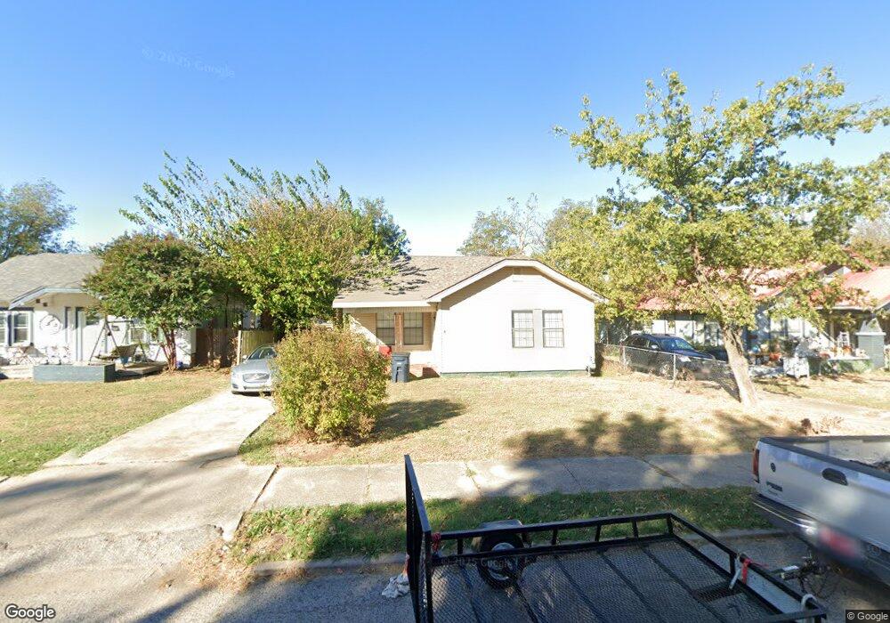
1710 N Beard St Shawnee, OK 74804
Estimated Value: $123,000 - $136,000
3
Beds
2
Baths
1,393
Sq Ft
$92/Sq Ft
Est. Value
About This Home
This home is located at 1710 N Beard St, Shawnee, OK 74804 and is currently estimated at $127,495, approximately $91 per square foot. 1710 N Beard St is a home located in Pottawatomie County with nearby schools including Sequoyah Elementary School, Shawnee Middle School, and Shawnee High School.
Ownership History
Date
Name
Owned For
Owner Type
Purchase Details
Closed on
Mar 28, 2012
Sold by
Citimortgage Inc
Bought by
Rinderer William
Current Estimated Value
Purchase Details
Closed on
Nov 9, 2011
Sold by
Pollard Danny
Bought by
Citimortgage Inc
Purchase Details
Closed on
Oct 6, 2000
Sold by
Causey Debbie and Causey Randy P
Bought by
Pollard Danny
Purchase Details
Closed on
May 26, 1995
Sold by
Kerr Craig
Bought by
Causey Debbie
Purchase Details
Closed on
Feb 24, 1993
Sold by
Cullum Dolores and Cullum Hal
Bought by
Salsman Laurie and Salsman Debbie
Create a Home Valuation Report for This Property
The Home Valuation Report is an in-depth analysis detailing your home's value as well as a comparison with similar homes in the area
Purchase History
| Date | Buyer | Sale Price | Title Company |
|---|---|---|---|
| Rinderer William | -- | None Available | |
| Citimortgage Inc | -- | None Available | |
| Pollard Danny | $49,500 | -- | |
| Causey Debbie | -- | -- | |
| Salsman Laurie | $37,500 | -- |
Source: Public Records
Tax History
| Year | Tax Paid | Tax Assessment Tax Assessment Total Assessment is a certain percentage of the fair market value that is determined by local assessors to be the total taxable value of land and additions on the property. | Land | Improvement |
|---|---|---|---|---|
| 2025 | $721 | $7,351 | $803 | $6,548 |
| 2024 | $697 | $7,001 | $765 | $6,236 |
| 2023 | $697 | $6,668 | $753 | $5,915 |
| 2022 | $652 | $6,350 | $736 | $5,614 |
| 2021 | $609 | $6,048 | $720 | $5,328 |
| 2020 | $597 | $5,910 | $689 | $5,221 |
| 2019 | $588 | $5,628 | $656 | $4,972 |
| 2018 | $548 | $5,360 | $615 | $4,745 |
| 2017 | $515 | $5,105 | $693 | $4,412 |
| 2016 | $496 | $4,862 | $663 | $4,199 |
| 2015 | $463 | $4,631 | $599 | $4,032 |
| 2014 | $441 | $4,410 | $599 | $3,811 |
Source: Public Records
Map
Nearby Homes
- 1607 N Beard Ave
- 1816 N Bell Ave
- 1725 N Louisa Ave
- 1815 N Louisa Ave
- 1908 N Bdwy Ave
- 1928 N Broadway Ave
- 1901 N Bell Ave
- 1921 N Bell Ave
- 1510 N Union Ave
- 1432 N Park Ave
- 210 E Cammack
- 1822 N Philadelphia Ave
- 1919 N Union Ave
- 1324 N Park Ave
- 1712 N Pennsylvania Ave
- 1539 N Pennsylvania Ave
- 0 Independence and Minnesota St
- 115 W Georgia St
- 404 E Franklin St
- 216 W Georgia St
- 1732 N Beard St
- 1728 N Beard Ave
- 1728 N Beard Ave
- 1712 N Beard St
- 1706 N Beard St
- 1714 N Beard Ave
- 1702 N Beard St
- 1717 N Beard Ave
- 1717 N Beard Ave
- 120 W Elizabeth St
- 1725 N Beard Ave
- 1711 N Beard Ave
- 1705 N Market Ave
- 1707 N Beard Ave
- 1707 N Market Ave
- 126 W Elizabeth St
- 1721 N Beard Ave
- 1709 N Market Ave
- 1711 N Beard St
- 1713 N Beard St