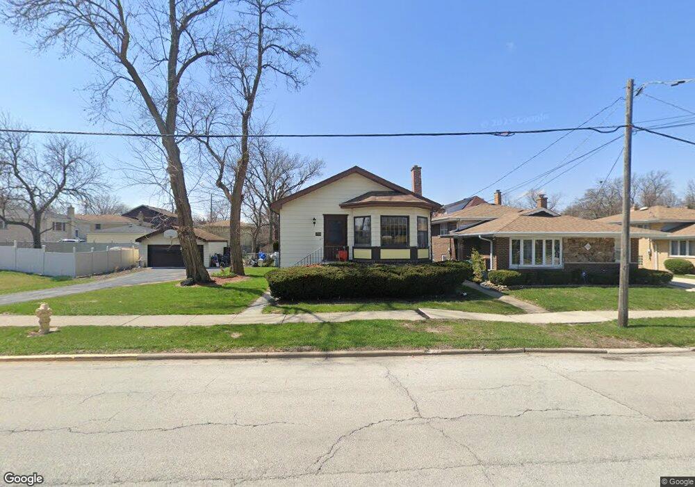
1710 N Taft Ave Berkeley, IL 60163
Estimated Value: $305,000 - $351,000
3
Beds
2
Baths
1,128
Sq Ft
$292/Sq Ft
Est. Value
About This Home
This home is located at 1710 N Taft Ave, Berkeley, IL 60163 and is currently estimated at $329,214, approximately $291 per square foot. 1710 N Taft Ave is a home located in Cook County with nearby schools including Macarthur Intermediate School, Sunnyside Elementary School, and Proviso West High School.
Ownership History
Date
Name
Owned For
Owner Type
Purchase Details
Closed on
Oct 19, 2007
Sold by
Baker Linnell and Green Claudette M
Bought by
Green Baker Claudette and Baker Linnell
Current Estimated Value
Home Financials for this Owner
Home Financials are based on the most recent Mortgage that was taken out on this home.
Original Mortgage
$97,000
Interest Rate
6.3%
Mortgage Type
New Conventional
Purchase Details
Closed on
Mar 6, 2000
Sold by
Hibner Ronald C and Hibner Susan E
Bought by
Baker Linnell and Green Claudette M
Home Financials for this Owner
Home Financials are based on the most recent Mortgage that was taken out on this home.
Original Mortgage
$100,000
Interest Rate
6.22%
Create a Home Valuation Report for This Property
The Home Valuation Report is an in-depth analysis detailing your home's value as well as a comparison with similar homes in the area
Home Values in the Area
Average Home Value in this Area
Purchase History
| Date | Buyer | Sale Price | Title Company |
|---|---|---|---|
| Green Baker Claudette | -- | Law Title Insurance | |
| Baker Linnell | $149,000 | -- |
Source: Public Records
Mortgage History
| Date | Status | Borrower | Loan Amount |
|---|---|---|---|
| Closed | Green Baker Claudette | $97,000 | |
| Closed | Baker Linnell | $100,000 |
Source: Public Records
Tax History Compared to Growth
Tax History
| Year | Tax Paid | Tax Assessment Tax Assessment Total Assessment is a certain percentage of the fair market value that is determined by local assessors to be the total taxable value of land and additions on the property. | Land | Improvement |
|---|---|---|---|---|
| 2024 | $7,793 | $27,000 | $4,235 | $22,765 |
| 2023 | $6,201 | $27,000 | $4,235 | $22,765 |
| 2022 | $6,201 | $20,273 | $2,888 | $17,385 |
| 2021 | $6,253 | $20,272 | $2,887 | $17,385 |
| 2020 | $6,066 | $20,272 | $2,887 | $17,385 |
| 2019 | $4,584 | $16,989 | $2,695 | $14,294 |
| 2018 | $4,490 | $16,989 | $2,695 | $14,294 |
| 2017 | $4,335 | $16,989 | $2,695 | $14,294 |
| 2016 | $3,499 | $12,924 | $2,502 | $10,422 |
| 2015 | $4,158 | $12,924 | $2,502 | $10,422 |
| 2014 | $4,104 | $12,924 | $2,502 | $10,422 |
| 2013 | $5,031 | $16,369 | $2,502 | $13,867 |
Source: Public Records
Map
Nearby Homes
- 630 E End Ave
- 5628 W Hawthorne Ave
- 5936 W Maple Ave
- 600 N Irving Ave
- 1428 1/2 N Ashbel Ave
- 1924 Herbert Ave
- 5706 Saint Charles Rd
- 5700 Saint Charles Rd
- 5809 Huron St
- 2012 N Taft Ave
- 500 N Laverne Ave
- 439 N Elm St
- 497 S Stratford Ave
- 520 N Wolf Rd Unit 301
- 505 E Atwood Ct
- 1224 N Irving Ave
- 515 S Parkview Ave
- 1429 N Wolf Rd
- 494 E Atwood Ct
- 514 Iroquois Rd
- 1706 N Taft Ave
- 5811 W Maple Ave
- 1702 N Taft Ave
- 1720 N Taft Ave
- 1720 N Taft Ave
- 5815 W Maple Ave
- 5810 Kouba Dr
- 1703 N Taft Ave
- 1711 N Taft Ave
- 5812 Kouba Dr
- 5817 W Maple Ave
- 1701 N Taft Ave
- 1715 N Taft Ave
- 1640 N Taft Ave
- 1722 N Taft Ave
- 5819 W Maple Ave
- 5810 W Maple Ave
- 5737 W Maple Ave
- 5816 Kouba Dr
- 5736 Rose Ct