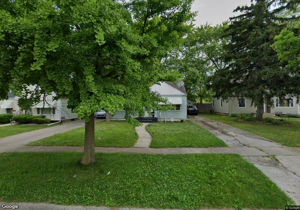
1710 Parkfront Dr Flint, MI 48504
Civic Park NeighborhoodEstimated Value: $27,000 - $71,000
3
Beds
1
Bath
1,116
Sq Ft
$45/Sq Ft
Est. Value
About This Home
This home is located at 1710 Parkfront Dr, Flint, MI 48504 and is currently estimated at $50,612, approximately $45 per square foot. 1710 Parkfront Dr is a home located in Genesee County with nearby schools including Brownell STEM Academy, Greater Heights Academy, and Eagle's Nest Academy.
Ownership History
Date
Name
Owned For
Owner Type
Purchase Details
Closed on
Jan 31, 2020
Sold by
Genesee County Land Bank Authority
Bought by
Torres Valerie Marie
Current Estimated Value
Purchase Details
Closed on
Dec 18, 2018
Sold by
Genesee County Treasurer
Bought by
Genesee County Land Bank Authority
Purchase Details
Closed on
Mar 16, 2012
Sold by
Lakes Angelete L and Lakes Sr Arnold E
Bought by
Baker Nathifa M
Purchase Details
Closed on
Jun 8, 2004
Sold by
Lakes Angelete L
Bought by
Lakes Angelete L and Lakes Sr Arnold E
Create a Home Valuation Report for This Property
The Home Valuation Report is an in-depth analysis detailing your home's value as well as a comparison with similar homes in the area
Home Values in the Area
Average Home Value in this Area
Purchase History
| Date | Buyer | Sale Price | Title Company |
|---|---|---|---|
| Torres Valerie Marie | $14,200 | None Available | |
| Genesee County Land Bank Authority | -- | None Available | |
| Baker Nathifa M | -- | None Available | |
| Lakes Angelete L | -- | -- |
Source: Public Records
Mortgage History
| Date | Status | Borrower | Loan Amount |
|---|---|---|---|
| Closed | Torres Valerie Marie | $0 |
Source: Public Records
Tax History Compared to Growth
Tax History
| Year | Tax Paid | Tax Assessment Tax Assessment Total Assessment is a certain percentage of the fair market value that is determined by local assessors to be the total taxable value of land and additions on the property. | Land | Improvement |
|---|---|---|---|---|
| 2025 | $937 | $16,500 | $0 | $0 |
| 2024 | $873 | $14,800 | $0 | $0 |
| 2023 | $838 | $10,800 | $0 | $0 |
| 2022 | $0 | $8,500 | $0 | $0 |
| 2021 | $579 | $8,000 | $0 | $0 |
| 2020 | $0 | $0 | $0 | $0 |
| 2019 | $683 | $0 | $0 | $0 |
| 2018 | $676 | $8,800 | $0 | $0 |
| 2017 | $988 | $0 | $0 | $0 |
| 2016 | $683 | $0 | $0 | $0 |
| 2015 | -- | $0 | $0 | $0 |
| 2014 | -- | $0 | $0 | $0 |
| 2012 | -- | $12,400 | $0 | $0 |
Source: Public Records
Map
Nearby Homes
- 1705 W Pasadena Ave
- 3412 Comstock Ave
- 3420 Fleming Rd
- 2907 Trumbull Ave
- 1713 W Dartmouth St
- 1402 W Dartmouth St
- 1521 W Dartmouth St
- 1209 W Mcclellan St
- 3617 Kellar Ave
- 3819 Brownell Blvd
- 3722 Sterling St
- 2615 Trumbull Ave
- 2631 Brownell Blvd
- 3513 Milbourne Ave
- 3802 Milbourne Ave
- 3002 N Chevrolet Ave
- 2214 Mack Ave
- 1101 W Rankin St
- 3418 Keyes St
- 2414 Delmar St
- 1714 Parkfront Dr
- 1706 Parkfront Dr
- 1718 Parkfront Dr
- 1702 Parkfront Dr
- 1722 Parkfront Dr
- 1707 Parkfront Dr
- 1707 Parkfront Dr Unit 48504
- 3205 Trumbull Ave
- 3206 Brynmawr Place
- 3206 Bryn Mawr Place
- 3218 Trumbull Ave
- 1802 Parkfront Dr
- 3214 Trumbull Ave
- 3201 Trumbull Ave
- 1701 W Pasadena Ave
- 1713 W Pasadena Ave
- 3202 Brynmawr Place
- 1806 Parkfront Dr
- 1613 W Pasadena Ave
- 3206 Trumbull Ave