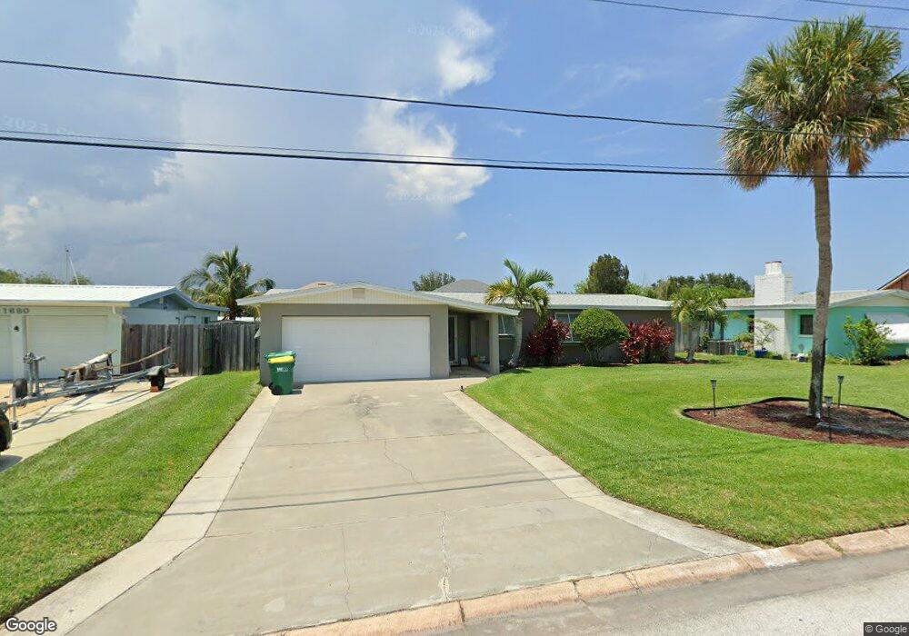
1710 Richardson Rd Merritt Island, FL 32952
Estimated Value: $469,000 - $565,000
3
Beds
2
Baths
1,603
Sq Ft
$314/Sq Ft
Est. Value
About This Home
This home is located at 1710 Richardson Rd, Merritt Island, FL 32952 and is currently estimated at $502,730, approximately $313 per square foot. 1710 Richardson Rd is a home located in Brevard County with nearby schools including Audubon Elementary School, Thomas Jefferson Middle School, and Merritt Island High School.
Ownership History
Date
Name
Owned For
Owner Type
Purchase Details
Closed on
Sep 19, 2023
Sold by
Ribak Mitchell S and Ribak Jeanette A
Bought by
Ribak Family Trust and Ribak
Current Estimated Value
Purchase Details
Closed on
Jul 16, 2020
Sold by
Ribak Mitchell S and Ribak Jeanette A
Bought by
Ribak Mitchell S and Ribank Jeanette A
Purchase Details
Closed on
Jul 6, 2001
Sold by
Franks Jeanette A
Bought by
Franks Jeanette A and Ribak Mitchell S
Purchase Details
Closed on
Jun 30, 1994
Sold by
Blevens Jeffrey T and Blevens Tracy
Bought by
Franks Larry A and Franks Jeanette A
Home Financials for this Owner
Home Financials are based on the most recent Mortgage that was taken out on this home.
Original Mortgage
$112,500
Interest Rate
8.51%
Create a Home Valuation Report for This Property
The Home Valuation Report is an in-depth analysis detailing your home's value as well as a comparison with similar homes in the area
Home Values in the Area
Average Home Value in this Area
Purchase History
| Date | Buyer | Sale Price | Title Company |
|---|---|---|---|
| Ribak Family Trust | $100 | None Listed On Document | |
| Ribak Family Trust | $100 | None Listed On Document | |
| Ribak Mitchell S | -- | Attorney | |
| Franks Jeanette A | -- | -- | |
| Franks Jeanette A | -- | -- | |
| Franks Larry A | $125,000 | -- |
Source: Public Records
Mortgage History
| Date | Status | Borrower | Loan Amount |
|---|---|---|---|
| Previous Owner | Franks Larry A | $112,500 |
Source: Public Records
Tax History Compared to Growth
Tax History
| Year | Tax Paid | Tax Assessment Tax Assessment Total Assessment is a certain percentage of the fair market value that is determined by local assessors to be the total taxable value of land and additions on the property. | Land | Improvement |
|---|---|---|---|---|
| 2025 | $2,637 | $211,840 | -- | -- |
| 2024 | $2,603 | $205,870 | -- | -- |
| 2023 | $2,603 | $199,880 | $0 | $0 |
| 2022 | $2,430 | $194,060 | $0 | $0 |
| 2021 | $2,522 | $188,410 | $0 | $0 |
| 2020 | $2,476 | $185,810 | $0 | $0 |
| 2019 | $2,423 | $181,640 | $0 | $0 |
| 2018 | $2,321 | $170,810 | $0 | $0 |
| 2017 | $2,338 | $167,300 | $0 | $0 |
| 2016 | $2,372 | $163,860 | $130,000 | $33,860 |
| 2015 | $2,433 | $162,730 | $130,000 | $32,730 |
| 2014 | $2,447 | $161,440 | $120,000 | $41,440 |
Source: Public Records
Map
Nearby Homes
- 700 Milford Point Dr
- 1510 Holly Ave
- 1545 Cunningham Ave
- 1340 Lester Ct
- 2437 Yount Dr
- 3000 Yount Dr
- 1620 Yount Dr
- 1455 Hannah Dr
- 1425 Lester Ct
- 1668 Oceana Dr
- 1705 Sun Pointe Place
- 1675 Oceana Dr Unit 8
- 1515 Quince Ave
- 0000 Sun Pointe Place
- 1685 Savannah Dr
- 635 Barrett Dr
- 1585 Anchor Ln
- 1395 Floral Ln
- 397 Milford Point Dr
- 1613 Dock St
- 1720 Richardson Rd
- 1680 Richardson Rd
- 1685 Morningside Dr
- 1670 Richardson Rd
- 1730 Richardson Rd
- 1705 Richardson Rd
- 1675 Richardson Rd
- 1715 Richardson Rd
- 1695 Morningside Dr
- 1705 Morningside Dr
- 1665 Richardson Rd
- 1675 Morningside Dr
- 1725 Richardson Rd
- 1660 Richardson Rd
- 1750 Richardson Rd
- 1665 Morningside Dr
- 1655 Richardson Rd
- 1735 Richardson Rd
- 1650 Richardson Rd
- 1655 Morningside Dr