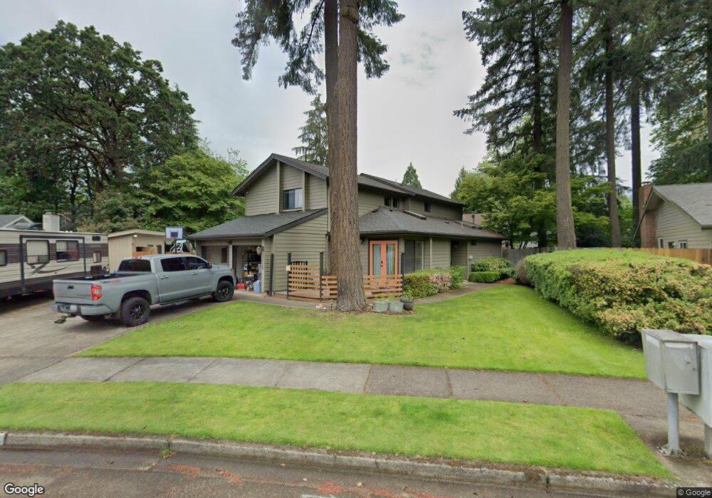
1710 Russet Dr Eugene, OR 97401
Cal Young NeighborhoodEstimated Value: $683,845 - $730,000
3
Beds
3
Baths
2,302
Sq Ft
$308/Sq Ft
Est. Value
About This Home
This home is located at 1710 Russet Dr, Eugene, OR 97401 and is currently estimated at $709,211, approximately $308 per square foot. 1710 Russet Dr is a home located in Lane County with nearby schools including Willagillespie Elementary School, Cal Young Middle School, and Sheldon High School.
Ownership History
Date
Name
Owned For
Owner Type
Purchase Details
Closed on
Jul 28, 2015
Sold by
Gardner Jack A and Gardner Jan M
Bought by
Bova Michael A and Gilliam Lisa K
Current Estimated Value
Home Financials for this Owner
Home Financials are based on the most recent Mortgage that was taken out on this home.
Original Mortgage
$295,000
Outstanding Balance
$229,704
Interest Rate
3.98%
Mortgage Type
New Conventional
Estimated Equity
$479,507
Create a Home Valuation Report for This Property
The Home Valuation Report is an in-depth analysis detailing your home's value as well as a comparison with similar homes in the area
Home Values in the Area
Average Home Value in this Area
Purchase History
| Date | Buyer | Sale Price | Title Company |
|---|---|---|---|
| Bova Michael A | $369,000 | Fidelity Natl Title Co Of Or |
Source: Public Records
Mortgage History
| Date | Status | Borrower | Loan Amount |
|---|---|---|---|
| Open | Bova Michael A | $295,000 |
Source: Public Records
Tax History
| Year | Tax Paid | Tax Assessment Tax Assessment Total Assessment is a certain percentage of the fair market value that is determined by local assessors to be the total taxable value of land and additions on the property. | Land | Improvement |
|---|---|---|---|---|
| 2025 | $8,267 | $424,306 | -- | -- |
| 2024 | $8,164 | $411,948 | -- | -- |
| 2023 | $8,164 | $399,950 | -- | -- |
| 2022 | $7,378 | $374,558 | $0 | $0 |
| 2021 | $6,930 | $363,649 | $0 | $0 |
| 2020 | $6,826 | $353,058 | $0 | $0 |
| 2019 | $6,539 | $342,775 | $0 | $0 |
| 2018 | $6,121 | $323,099 | $0 | $0 |
| 2017 | $5,765 | $323,099 | $0 | $0 |
| 2016 | $5,491 | $313,688 | $0 | $0 |
| 2015 | $5,318 | $304,551 | $0 | $0 |
| 2014 | $5,205 | $295,681 | $0 | $0 |
Source: Public Records
Map
Nearby Homes
- 1810 Happy Ln
- 2281 Ridgeway Dr
- 1165 Skylark Ln
- 1332 Jeppesen Ave
- 0 Piper Ln Unit Lot 1
- 0 Piper Ln Unit Lot 3
- 0 Piper Ln Unit Lot 2
- 0 Piper Ln Unit Lot 5
- 1440 Amberland Ave
- 1193 Rio Glen Dr
- 1500 Norkenzie Rd Unit 12
- 1500 Norkenzie Rd Unit 43
- 2101 Lake Isle Ct
- 1927 Lake Isle Dr
- 2026 Lake Isle Dr
- 1328 Spyglass Dr
- 2628 Edgewater Dr
- 1230 Debrick Rd
- 1632 Larkspur Loop
- 1376 Brickley Rd
Your Personal Tour Guide
Ask me questions while you tour the home.