1710 Starr Rd Punxsutawney, PA 15767
Estimated Value: $177,000 - $377,000
--
Bed
--
Bath
1,024
Sq Ft
$302/Sq Ft
Est. Value
About This Home
This home is located at 1710 Starr Rd, Punxsutawney, PA 15767 and is currently estimated at $308,789, approximately $301 per square foot. 1710 Starr Rd is a home located in Jefferson County with nearby schools including Punxsutawney Area High School, Valley View School, and Trout Run School.
Ownership History
Date
Name
Owned For
Owner Type
Purchase Details
Closed on
Jan 12, 2022
Sold by
Peace Paul F
Bought by
Wise Richard M and Wise Kathleen V
Current Estimated Value
Home Financials for this Owner
Home Financials are based on the most recent Mortgage that was taken out on this home.
Original Mortgage
$280,000
Outstanding Balance
$258,424
Interest Rate
3.22%
Mortgage Type
Credit Line Revolving
Estimated Equity
$50,365
Create a Home Valuation Report for This Property
The Home Valuation Report is an in-depth analysis detailing your home's value as well as a comparison with similar homes in the area
Home Values in the Area
Average Home Value in this Area
Purchase History
| Date | Buyer | Sale Price | Title Company |
|---|---|---|---|
| Wise Richard M | $328,000 | Key Settlement Services |
Source: Public Records
Mortgage History
| Date | Status | Borrower | Loan Amount |
|---|---|---|---|
| Open | Wise Richard M | $280,000 |
Source: Public Records
Tax History Compared to Growth
Tax History
| Year | Tax Paid | Tax Assessment Tax Assessment Total Assessment is a certain percentage of the fair market value that is determined by local assessors to be the total taxable value of land and additions on the property. | Land | Improvement |
|---|---|---|---|---|
| 2025 | $1,647 | $39,870 | $19,100 | $20,770 |
| 2024 | $1,610 | $39,870 | $19,100 | $20,770 |
| 2023 | $1,611 | $39,870 | $19,100 | $20,770 |
| 2022 | $1,617 | $39,870 | $19,100 | $20,770 |
| 2021 | $1,621 | $39,870 | $19,100 | $20,770 |
| 2020 | $1,621 | $39,870 | $19,100 | $20,770 |
| 2019 | $1,616 | $39,870 | $19,100 | $20,770 |
| 2018 | $1,585 | $39,870 | $19,100 | $20,770 |
| 2017 | $1,572 | $39,870 | $19,100 | $20,770 |
| 2016 | $1,558 | $39,870 | $19,100 | $20,770 |
| 2015 | -- | $39,870 | $19,100 | $20,770 |
| 2012 | -- | $39,870 | $19,100 | $20,770 |
Source: Public Records
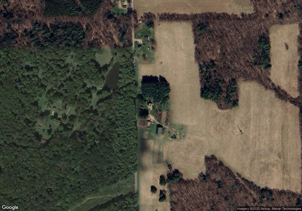
Map
Nearby Homes
- 1861 Starr Rd
- 1479 Starr Rd
- 1394 Starr Rd
- 1394 Starr Rd Unit 1410
- 1382 Starr Rd
- 800 Spring Rd
- 56 Spring Hollow Dr
- 1826 Big Run Prescottville Rd
- 1970 Big Run Prescottville Rd
- 1696 Big Run Prescottville Rd
- 850 Spring Rd
- 1903 Big Run Prescottville Rd
- 1286 Starr Rd
- 1221 Skarbek Rd
- 2069 Big Run Prescottville Rd
- 1297 Starr Rd
- 4233 Native Rd
- 1079 Skarbek Rd
- 2177 Big Run Prescottville Rd
- 2231 Starr Rd