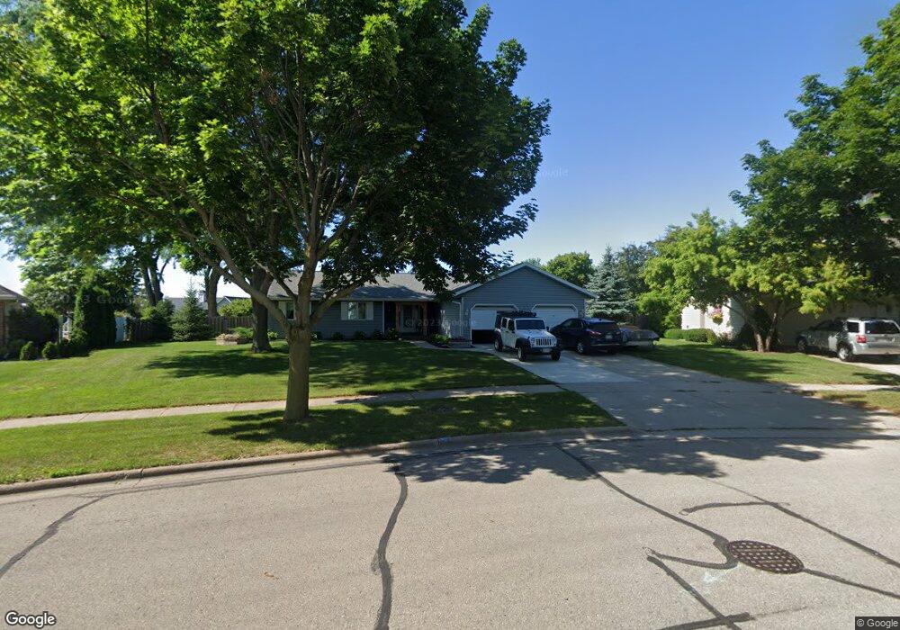
1710 Sunnyside Ln de Pere, WI 54115
Estimated Value: $355,000 - $383,000
2
Beds
3
Baths
1,748
Sq Ft
$212/Sq Ft
Est. Value
About This Home
This home is located at 1710 Sunnyside Ln, de Pere, WI 54115 and is currently estimated at $371,423, approximately $212 per square foot. 1710 Sunnyside Ln is a home located in Brown County with nearby schools including Dickinson Elementary School, De Pere Middle School, and Foxview Intermediate School.
Ownership History
Date
Name
Owned For
Owner Type
Purchase Details
Closed on
Mar 15, 2007
Sold by
Palmcook Daniel L and Palmcook Noreen A
Bought by
Susens Richard T and Susens Betty L
Current Estimated Value
Home Financials for this Owner
Home Financials are based on the most recent Mortgage that was taken out on this home.
Original Mortgage
$128,000
Interest Rate
6.37%
Mortgage Type
Balloon
Create a Home Valuation Report for This Property
The Home Valuation Report is an in-depth analysis detailing your home's value as well as a comparison with similar homes in the area
Home Values in the Area
Average Home Value in this Area
Purchase History
| Date | Buyer | Sale Price | Title Company |
|---|---|---|---|
| Susens Richard T | $160,000 | Bay Title & Abstract Inc |
Source: Public Records
Mortgage History
| Date | Status | Borrower | Loan Amount |
|---|---|---|---|
| Closed | Susens Richard T | $128,000 |
Source: Public Records
Tax History Compared to Growth
Tax History
| Year | Tax Paid | Tax Assessment Tax Assessment Total Assessment is a certain percentage of the fair market value that is determined by local assessors to be the total taxable value of land and additions on the property. | Land | Improvement |
|---|---|---|---|---|
| 2024 | $4,369 | $309,800 | $48,400 | $261,400 |
| 2023 | $3,983 | $294,200 | $48,400 | $245,800 |
| 2022 | $3,697 | $259,300 | $48,400 | $210,900 |
| 2021 | $3,455 | $229,700 | $40,400 | $189,300 |
| 2020 | $3,532 | $214,100 | $40,400 | $173,700 |
| 2019 | $3,677 | $204,800 | $40,400 | $164,400 |
| 2018 | $3,765 | $190,900 | $40,400 | $150,500 |
| 2017 | $3,488 | $172,000 | $40,400 | $131,600 |
| 2016 | $3,539 | $172,000 | $40,400 | $131,600 |
| 2015 | $3,495 | $161,800 | $46,800 | $115,000 |
| 2014 | $3,426 | $161,300 | $46,800 | $114,500 |
| 2013 | $3,426 | $161,300 | $46,800 | $114,500 |
Source: Public Records
Map
Nearby Homes
- 1861 Chicago St
- 1763 Highview St
- 103 Zita St
- 124 Shelley Ln
- 318 S Webster Ave
- 166 Brule Rd
- 1986 Tyler Ln
- 1766 Camarillo Ct
- 1871 Ledgeview Rd
- 324 S Ontario St
- 1421 Ridgeway Dr Unit 1423
- 1941 Pike Ln
- 801 S Erie St
- 1219 Irwin Ave
- 120 N Winnebago St
- 115 N Winnebago St
- 830 Libal St Unit 10
- 737 Desplaine Rd
- 303 S Huron St
- 1108 Red Wing Trail
- 1706 Sunnyside Ln
- 1714 Sunnyside Ln
- 1709 Chicago St
- 1705 Chicago St
- 1713 Chicago St
- 1716 Sunnyside Ln
- 1711 Sunnyside Ln
- 301 Crestview Ln
- 1721 Ohearn Ln
- 325 Crestview Ln
- 1725 Ohearn Ln
- 1718 Sunnyside Ln
- 1701 Sunnyside Ln
- 1729 Ohearn Ln
- 1719 Sunnyside Ln
- 1729 O'Hearn Ln
- 1720 Sunnyside Ln
- 255 Crestview Ln
- 1731 Ohearn Ln
- 1731 O'Hearn Ln