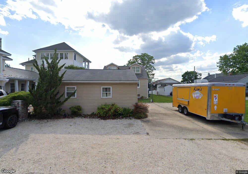
1710 Wilson Point Rd Middle River, MD 21220
Estimated Value: $492,000 - $641,586
Studio
1
Bath
2,016
Sq Ft
$287/Sq Ft
Est. Value
About This Home
This home is located at 1710 Wilson Point Rd, Middle River, MD 21220 and is currently estimated at $578,897, approximately $287 per square foot. 1710 Wilson Point Rd is a home located in Baltimore County with nearby schools including Hawthorne Elementary School, Stemmers Run Middle School, and Kenwood High.
Ownership History
Date
Name
Owned For
Owner Type
Purchase Details
Closed on
Mar 27, 2002
Sold by
Rankin Phillip Neil
Bought by
Rankin Phillip Neil
Current Estimated Value
Purchase Details
Closed on
Apr 22, 1998
Sold by
Ebert Christina
Bought by
Rankin Phillip Neil and Rankin Michelle M
Create a Home Valuation Report for This Property
The Home Valuation Report is an in-depth analysis detailing your home's value as well as a comparison with similar homes in the area
Home Values in the Area
Average Home Value in this Area
Purchase History
| Date | Buyer | Sale Price | Title Company |
|---|---|---|---|
| Rankin Phillip Neil | $23,000 | -- | |
| Rankin Phillip Neil | $160,000 | -- |
Source: Public Records
Tax History
| Year | Tax Paid | Tax Assessment Tax Assessment Total Assessment is a certain percentage of the fair market value that is determined by local assessors to be the total taxable value of land and additions on the property. | Land | Improvement |
|---|---|---|---|---|
| 2025 | $6,004 | $495,100 | -- | -- |
| 2024 | $6,004 | $462,400 | $0 | $0 |
| 2023 | $2,750 | $429,700 | $262,400 | $167,300 |
| 2022 | $5,369 | $423,433 | $0 | $0 |
| 2021 | $5,183 | $417,167 | $0 | $0 |
| 2020 | $5,183 | $410,900 | $262,400 | $148,500 |
| 2019 | $5,074 | $406,400 | $0 | $0 |
| 2018 | $4,764 | $401,900 | $0 | $0 |
| 2017 | $4,502 | $397,400 | $0 | $0 |
| 2016 | $3,504 | $397,333 | $0 | $0 |
| 2015 | $3,504 | $397,267 | $0 | $0 |
| 2014 | $3,504 | $397,200 | $0 | $0 |
Source: Public Records
Map
Nearby Homes
- 1507 Shore Rd
- 2224 Middleborough Rd
- 1318 Wilson Point Rd
- 1306 Third Rd
- 221 Antietam Rd
- 203 Antietam Rd
- 2316 Bauernschmidt Dr
- 1937 Cape May Rd
- 21 Dogwood Dr
- 40 Dogwood Dr
- 34 Dogwood Dr
- 116 Kingston Park Ln
- 60 Dogwood Dr
- 327 Wye Rd
- 84 Kingston Park Ln
- 424 Katherine Ave
- 725 Kingston Rd
- 215 Nanticoke Rd
- 203 Oak Ave
- 1206 Chesapeake Ave
- 1712 Wilson Point Rd
- 1708 Wilson Point Rd
- 1714 Wilson Point Rd
- 1706 Wilson Point Rd
- 1716 Wilson Point Rd
- 1704 Wilson Point Rd
- 1718 Wilson Point Rd
- 1720 Wilson Point Rd
- 1713 Wilson Point Rd
- 1702 Wilson Point Rd
- 1717 Wilson Point Rd
- 1711 Wilson Point Rd
- 1804 Wilson Point Rd
- 1800 Wilson Point Rd
- 1707 Wilson Point Rd
- 1805 Wilson Point Rd
- 1705 Wilson Point Rd
- 1806 Wilson Point Rd
- 1622 Wilson Point Rd
- 1700 Wilson Point Rd
Your Personal Tour Guide
Ask me questions while you tour the home.