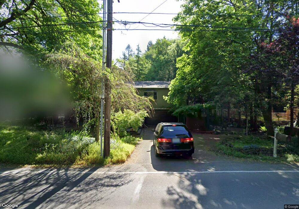
17100 Bryant Rd Lake Oswego, OR 97035
Bryant NeighborhoodEstimated Value: $736,000 - $984,000
3
Beds
3
Baths
2,032
Sq Ft
$416/Sq Ft
Est. Value
About This Home
This home is located at 17100 Bryant Rd, Lake Oswego, OR 97035 and is currently estimated at $844,918, approximately $415 per square foot. 17100 Bryant Rd is a home located in Clackamas County with nearby schools including Westridge Elementary School, Lakeridge Middle School, and Lakeridge High School.
Ownership History
Date
Name
Owned For
Owner Type
Purchase Details
Closed on
Sep 28, 2009
Sold by
The Bank Of New York Mellon
Bought by
Dyck Jarrod R and Dyck Alyssa L
Current Estimated Value
Home Financials for this Owner
Home Financials are based on the most recent Mortgage that was taken out on this home.
Original Mortgage
$304,385
Outstanding Balance
$197,140
Interest Rate
5.08%
Mortgage Type
FHA
Estimated Equity
$647,778
Purchase Details
Closed on
Jun 15, 2009
Sold by
Poy Matthew T
Bought by
The Bank Of New York Mellon and The Bank Of New York
Purchase Details
Closed on
Oct 9, 2007
Sold by
Poy Matthew T
Bought by
Poy Matthew T and Matthew Poy Trust
Purchase Details
Closed on
Sep 14, 2004
Sold by
Klachefsky Michael J and Taylor Elizabeth
Bought by
Poy Matthew T
Home Financials for this Owner
Home Financials are based on the most recent Mortgage that was taken out on this home.
Original Mortgage
$220,800
Interest Rate
5.87%
Mortgage Type
Purchase Money Mortgage
Purchase Details
Closed on
Oct 31, 2002
Sold by
Macdonald Patricia Lynn and Green Patricia
Bought by
Klachefsky Michael J and Taylor Leslie E
Home Financials for this Owner
Home Financials are based on the most recent Mortgage that was taken out on this home.
Original Mortgage
$203,200
Interest Rate
5%
Purchase Details
Closed on
Jan 7, 1996
Sold by
Johnstead Park L and Johnstead Joanne E
Bought by
Green Patricia
Home Financials for this Owner
Home Financials are based on the most recent Mortgage that was taken out on this home.
Original Mortgage
$144,000
Interest Rate
8.11%
Create a Home Valuation Report for This Property
The Home Valuation Report is an in-depth analysis detailing your home's value as well as a comparison with similar homes in the area
Home Values in the Area
Average Home Value in this Area
Purchase History
| Date | Buyer | Sale Price | Title Company |
|---|---|---|---|
| Dyck Jarrod R | $310,000 | First American Title Insuran | |
| The Bank Of New York Mellon | $259,250 | Lex-Fidelity Natl Title Co | |
| Poy Matthew T | -- | None Available | |
| Poy Matthew T | $276,000 | First American | |
| Klachefsky Michael J | $254,000 | Multiple | |
| Green Patricia | $180,000 | First American Title Ins Co |
Source: Public Records
Mortgage History
| Date | Status | Borrower | Loan Amount |
|---|---|---|---|
| Open | Dyck Jarrod R | $304,385 | |
| Previous Owner | Poy Matthew T | $220,800 | |
| Previous Owner | Klachefsky Michael J | $203,200 | |
| Previous Owner | Green Patricia | $144,000 |
Source: Public Records
Tax History Compared to Growth
Tax History
| Year | Tax Paid | Tax Assessment Tax Assessment Total Assessment is a certain percentage of the fair market value that is determined by local assessors to be the total taxable value of land and additions on the property. | Land | Improvement |
|---|---|---|---|---|
| 2025 | $6,760 | $352,017 | -- | -- |
| 2024 | $6,580 | $341,765 | -- | -- |
| 2023 | $6,580 | $331,811 | $0 | $0 |
| 2022 | $6,197 | $322,147 | $0 | $0 |
| 2021 | $5,724 | $312,765 | $0 | $0 |
| 2020 | $5,580 | $303,656 | $0 | $0 |
| 2019 | $5,443 | $294,812 | $0 | $0 |
| 2018 | $5,176 | $286,225 | $0 | $0 |
| 2017 | $4,994 | $277,888 | $0 | $0 |
| 2016 | $4,547 | $269,794 | $0 | $0 |
| 2015 | $4,393 | $261,936 | $0 | $0 |
| 2014 | $4,336 | $254,307 | $0 | $0 |
Source: Public Records
Map
Nearby Homes
- 4264 Westbay Rd
- 4241 Cobb Way
- 4470 Lakeview Blvd
- 4640 Lower Dr
- 4160 Westbay Rd
- 4224 Haven St
- 4610 Lower Dr
- 4368 Lakeview Blvd
- 16755 Graef Cir
- 4971 Lakeview Blvd
- 4480 Upper Dr
- 17855 Deerbrush Ave
- 17595 Kelok Rd
- 17810 Sarah Hill Ln
- 17367 Canal Cir
- 5189 Rosewood St
- 18121 Deerbrush Ave
- 5328 Lower Dr
- 17239 Rebecca Ln
- 5057 W Sunset Dr
- 17100 Bryant (Sits Back) Rd
- 4471 Chapman Way
- 4484 Westbay Rd
- 4451 Chapman Way
- 17071 Bryant Rd
- 17141 Bryant Rd
- 17141 SW Bryant Rd
- 4380 Westbay Rd
- 4401 Chapman Way
- 17001 Bryant Rd
- 17151 Bryant Rd
- 4470 Chapman Way
- 4540 Lamont Way
- 4502 Lamont Way
- 4449 Westbay Rd
- 4360 Westbay Rd
- 4487 Westbay Rd
- 17051 Bryant Rd
- 4450 Chapman Way